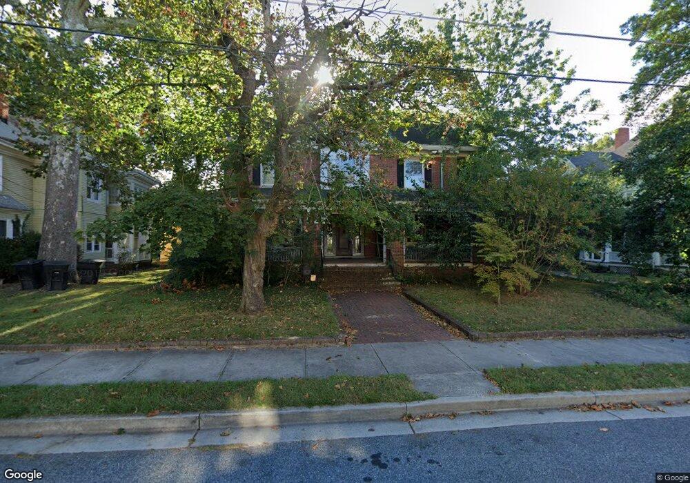
321 Park Ave Salisbury, MD 21801
Newtown-North Division NeighborhoodEstimated Value: $238,000 - $466,000
Studio
4
Baths
4,304
Sq Ft
$78/Sq Ft
Est. Value
About This Home
This home is located at 321 Park Ave, Salisbury, MD 21801 and is currently estimated at $334,197, approximately $77 per square foot. 321 Park Ave is a home located in Wicomico County with nearby schools including West Salisbury Elementary School, North Salisbury Elementary School, and Salisbury Middle School.
Ownership History
Date
Name
Owned For
Owner Type
Purchase Details
Closed on
Nov 25, 2008
Sold by
Isaacs Richard and Isaacs Dominique
Bought by
Jskj Enterprises Llc
Current Estimated Value
Purchase Details
Closed on
Nov 14, 2008
Sold by
Isaacs Richard and Isaacs Dominique
Bought by
Jskj Enterprises Llc
Purchase Details
Closed on
Apr 29, 1999
Sold by
Warren Max E and Warren Gail M
Bought by
Isaacs Richard and Isaacs Dominique
Purchase Details
Closed on
Apr 29, 1998
Sold by
Warren Max Edward
Bought by
Warren Max E and Warren Gail M
Purchase Details
Closed on
May 28, 1997
Sold by
Lamanna Joseph A and Lamanna Kathleen B
Bought by
Warren Max Edward
Create a Home Valuation Report for This Property
The Home Valuation Report is an in-depth analysis detailing your home's value as well as a comparison with similar homes in the area
Home Values in the Area
Average Home Value in this Area
Purchase History
| Date | Buyer | Sale Price | Title Company |
|---|---|---|---|
| Jskj Enterprises Llc | $150,000 | -- | |
| Jskj Enterprises Llc | $150,000 | -- | |
| Isaacs Richard | $138,900 | -- | |
| Warren Max E | -- | -- | |
| Warren Max Edward | $122,000 | -- |
Source: Public Records
Mortgage History
| Date | Status | Borrower | Loan Amount |
|---|---|---|---|
| Closed | Warren Max Edward | -- |
Source: Public Records
Tax History
| Year | Tax Paid | Tax Assessment Tax Assessment Total Assessment is a certain percentage of the fair market value that is determined by local assessors to be the total taxable value of land and additions on the property. | Land | Improvement |
|---|---|---|---|---|
| 2025 | $1,700 | $186,000 | $0 | $0 |
| 2024 | $1,661 | $173,200 | $20,700 | $152,500 |
| 2023 | $1,686 | $170,533 | $0 | $0 |
| 2022 | $1,711 | $167,867 | $0 | $0 |
| 2021 | $1,689 | $165,200 | $20,700 | $144,500 |
| 2020 | $1,704 | $165,200 | $20,700 | $144,500 |
| 2019 | $1,729 | $165,200 | $20,700 | $144,500 |
| 2018 | $3,657 | $178,700 | $20,700 | $158,000 |
| 2017 | $3,572 | $174,533 | $0 | $0 |
| 2016 | -- | $170,367 | $0 | $0 |
| 2015 | $3,748 | $166,200 | $0 | $0 |
| 2014 | $3,748 | $166,200 | $0 | $0 |
Source: Public Records
Map
Nearby Homes
- 208 W Isabella St
- 309 Gay St
- 304 Poplar Hill Ave
- 611 Lakeside Dr
- 403 Rose St
- 810 N Division St
- 701 Lake St Unit 1
- 410 Elizabeth St
- 411 Elizabeth St
- 317 Delaware Ave
- 609 Germania Cir
- 616 1 W Main St
- 902 Lake St
- 530 Riverside Dr Unit 405
- 530 Riverside Dr Unit 202
- 139 2nd St
- 322 Naylor St
- 313 W London Ave
- 313 Penn St
- 405 Newton Terrace
Your Personal Tour Guide
Ask me questions while you tour the home.