321 Peaceful Rd Chesapeake, VA 23322
Pleasant Grove West NeighborhoodEstimated Value: $9,079,218
--
Bed
--
Bath
--
Sq Ft
64.03
Acres
About This Home
This home is located at 321 Peaceful Rd, Chesapeake, VA 23322 and is currently estimated at $9,079,218. 321 Peaceful Rd is a home located in Chesapeake City with nearby schools including Southeastern Elementary School, Hickory Middle School, and Hickory High School.
Ownership History
Date
Name
Owned For
Owner Type
Purchase Details
Closed on
Jan 29, 2021
Sold by
Precon Development Ii Llc
Bought by
Hcc Vra 1 Llc
Current Estimated Value
Purchase Details
Closed on
Mar 19, 2020
Sold by
The Estate Of William G Ashburn
Bought by
Precon Development Ii Llc
Home Financials for this Owner
Home Financials are based on the most recent Mortgage that was taken out on this home.
Original Mortgage
$2,300,000
Interest Rate
3.4%
Mortgage Type
Construction
Create a Home Valuation Report for This Property
The Home Valuation Report is an in-depth analysis detailing your home's value as well as a comparison with similar homes in the area
Home Values in the Area
Average Home Value in this Area
Purchase History
| Date | Buyer | Sale Price | Title Company |
|---|---|---|---|
| Hcc Vra 1 Llc | $6,700,000 | Attorney | |
| Precon Development Ii Llc | $2,000,000 | Attorney |
Source: Public Records
Mortgage History
| Date | Status | Borrower | Loan Amount |
|---|---|---|---|
| Previous Owner | Precon Development Ii Llc | $2,300,000 |
Source: Public Records
Tax History Compared to Growth
Tax History
| Year | Tax Paid | Tax Assessment Tax Assessment Total Assessment is a certain percentage of the fair market value that is determined by local assessors to be the total taxable value of land and additions on the property. | Land | Improvement |
|---|---|---|---|---|
| 2025 | $57,799 | $6,001,700 | $6,001,700 | $0 |
| 2024 | $57,799 | $5,722,700 | $5,722,700 | $0 |
| 2023 | $56,390 | $5,583,200 | $5,583,200 | $0 |
| 2022 | $56,390 | $5,583,200 | $5,583,200 | $0 |
| 2021 | $58,456 | $5,567,200 | $5,567,200 | $0 |
| 2020 | $4,720 | $449,500 | $449,500 | $0 |
| 2019 | $882 | $425,200 | $425,200 | $0 |
| 2018 | $826 | $78,700 | $78,700 | $0 |
| 2017 | $1,675 | $159,500 | $159,500 | $0 |
| 2016 | $4,769 | $157,615 | $157,615 | $0 |
| 2015 | $1,718 | $163,644 | $163,644 | $0 |
| 2014 | $1,614 | $153,668 | $153,668 | $0 |
Source: Public Records
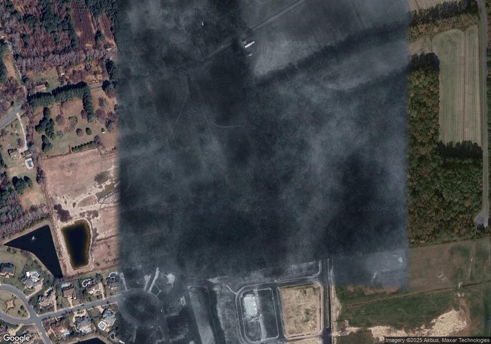
Map
Nearby Homes
- 7.88ac Peaceful Rd
- 301 Lomond Loop Unit 24
- 1505 Caden Ln Unit 27
- 1513 Caden Ln Unit 29
- 355 Lomond Loop Unit 42
- 359 Lomond Loop Unit 43
- 306 Scone Castle Loop
- Hudson Plan at Patriots Ridge
- 101 Gertrude St
- 1504 Bogue St
- 1508 Bogue St
- 1512 Bogue St
- 1516 Bogue St
- 1520 Bogue St
- 1524 Bogue St
- 105 Gertrude St
- 1505 Bogue St
- 1501 Bogue St
- 1513 Bogue St
- 1517 Bogue St
- 1504 Edinburgh Pkwy
- 1501 Edinburgh Pkwy
- 320 Lomond Loop
- 308 Lomond Loop
- 300 Lomond Loop
- 8.32ac Peaceful Rd
- 339 Lomond Loop
- 1522 Bankbury Way
- 343 Lomond Loop
- 1505 Caden Ln
- 325 Peaceful Rd
- 312 Peaceful Rd
- 347 Lomond Loop Unit 39
- 348 Lomond Loop
- 1524 Bankbury Way
- 1524 Bankbury Way Unit Way
- 1520 Bankbury Way
- 352 Lomond Loop
- 320 Peaceful Rd
- 1526 Bankbury Way