321 Perrin Rd Unit C Woodstock, CT 06281
Estimated Value: $377,553
3
Beds
2
Baths
1,200
Sq Ft
$315/Sq Ft
Est. Value
About This Home
This home is located at 321 Perrin Rd Unit C, Woodstock, CT 06281 and is currently priced at $377,553, approximately $314 per square foot. 321 Perrin Rd Unit C is a home located in Windham County with nearby schools including Woodstock Elementary School and Woodstock Middle School.
Ownership History
Date
Name
Owned For
Owner Type
Purchase Details
Closed on
Nov 20, 2019
Sold by
Richmond Jeffrey T and Richmond Lorna D
Bought by
Duggan Caitlyn B
Current Estimated Value
Home Financials for this Owner
Home Financials are based on the most recent Mortgage that was taken out on this home.
Original Mortgage
$196,000
Outstanding Balance
$171,613
Interest Rate
3.75%
Mortgage Type
Stand Alone Refi Refinance Of Original Loan
Purchase Details
Closed on
May 15, 2007
Sold by
Wells Fargo Bank Na
Bought by
Richmond Jeffrey T and Richmond Lorna D
Purchase Details
Closed on
May 20, 2005
Sold by
Tedeschi Judith C
Bought by
Diliddo Joseph Paul
Purchase Details
Closed on
Feb 24, 2005
Sold by
Wallace Stephen and Wallace Cynthia
Bought by
Tedeschi Judith C
Purchase Details
Closed on
Sep 19, 2003
Sold by
Briere Richard A and Briere Lisa M
Bought by
Wallace Stephen and Wallace Cynthia
Create a Home Valuation Report for This Property
The Home Valuation Report is an in-depth analysis detailing your home's value as well as a comparison with similar homes in the area
Home Values in the Area
Average Home Value in this Area
Purchase History
| Date | Buyer | Sale Price | Title Company |
|---|---|---|---|
| Duggan Caitlyn B | -- | None Available | |
| Richmond Jeffrey T | $210,000 | -- | |
| Diliddo Joseph Paul | $240,000 | -- | |
| Tedeschi Judith C | $208,000 | -- | |
| Wallace Stephen | $195,000 | -- |
Source: Public Records
Mortgage History
| Date | Status | Borrower | Loan Amount |
|---|---|---|---|
| Open | Duggan Caitlyn B | $196,000 | |
| Previous Owner | Wallace Stephen | $220,802 | |
| Previous Owner | Wallace Stephen | $225,000 |
Source: Public Records
Tax History Compared to Growth
Tax History
| Year | Tax Paid | Tax Assessment Tax Assessment Total Assessment is a certain percentage of the fair market value that is determined by local assessors to be the total taxable value of land and additions on the property. | Land | Improvement |
|---|---|---|---|---|
| 2023 | $4,296 | $191,700 | $42,900 | $148,800 |
| 2022 | $3,997 | $191,700 | $42,900 | $148,800 |
| 2021 | $4,299 | $168,600 | $42,900 | $125,700 |
| 2020 | $3,430 | $140,000 | $42,900 | $97,100 |
| 2019 | $3,430 | $140,000 | $42,900 | $97,100 |
| 2018 | $3,430 | $140,000 | $42,900 | $97,100 |
| 2017 | $3,402 | $140,000 | $42,900 | $97,100 |
| 2016 | $3,116 | $129,600 | $49,900 | $79,700 |
| 2015 | $3,027 | $129,600 | $49,900 | $79,700 |
| 2014 | $2,994 | $129,600 | $49,900 | $79,700 |
Source: Public Records
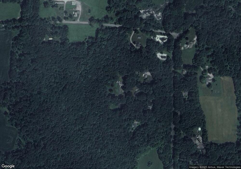
Map
Nearby Homes
- 402 Perrin Rd
- 145 Perrin Rd
- 30 Lyon Rd
- 0 Hemlock Dr
- 60 Indian Spring Rd
- 23 Little Bungee Hill Rd
- 80 Bungay Hill Rd
- 70 Laurel Hill Dr
- 56 Laurel Hill Dr
- 86A County Rd
- 10 Laurel Hill Dr
- 140 Ragged Hill Rd
- 0 Aplin Hill Ln
- 381 Bungay Hill Rd
- 211 New Sweden Rd
- 134 New Sweden Rd
- 698 Brayman Hollow Rd
- 175 Pulpit Rock Rd
- 93 Lakeside Dr
- 189 Center Rd
- 321 Perrin Rd Unit A
- 321 Perrin Rd Unit B
- 321 Perrin Rd Unit D
- 321 Perrin Rd
- 321 Perrin Rd Unit Lot C
- 321C Perrin Rd
- 321B Perrin Rd
- 321A Perrin Rd
- 321D Perrin Rd
- 329 Perrin Rd
- 311 Perrin Rd
- 330 Perrin Rd
- 340 Perrin Rd
- 350 Perrin Rd
- 316 Perrin Rd
- 307 Barber Rd
- 282 Perrin Rd
- 280 Perrin Rd
- 199 Barber Rd
- 361 Perrin Rd