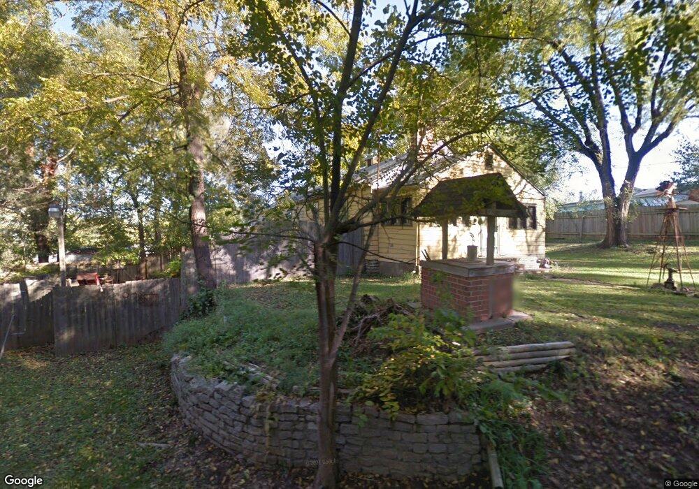
321 Persimmon Dr Excelsior Springs, MO 64024
Estimated Value: $181,583 - $195,000
2
Beds
1
Bath
1,011
Sq Ft
$186/Sq Ft
Est. Value
About This Home
This home is located at 321 Persimmon Dr, Excelsior Springs, MO 64024 and is currently estimated at $187,646, approximately $185 per square foot. 321 Persimmon Dr is a home located in Clay County with nearby schools including Excelsior Springs High School.
Ownership History
Date
Name
Owned For
Owner Type
Purchase Details
Closed on
Aug 29, 2024
Sold by
Clay County
Bought by
Fairley Steven
Current Estimated Value
Purchase Details
Closed on
Jun 4, 2020
Sold by
Handy George E and Handy Shelly S
Bought by
Rickart Shane and Adams Tifanie
Home Financials for this Owner
Home Financials are based on the most recent Mortgage that was taken out on this home.
Original Mortgage
$16,000
Interest Rate
3.3%
Mortgage Type
Purchase Money Mortgage
Purchase Details
Closed on
Sep 24, 2019
Sold by
Henthorne David L and Henthorne Wanda E
Bought by
Handy George and Handy Shelly
Create a Home Valuation Report for This Property
The Home Valuation Report is an in-depth analysis detailing your home's value as well as a comparison with similar homes in the area
Home Values in the Area
Average Home Value in this Area
Purchase History
| Date | Buyer | Sale Price | Title Company |
|---|---|---|---|
| Fairley Steven | $8,530 | None Listed On Document | |
| Rickart Shane | -- | Stewart Title | |
| Handy George | $12,954 | None Available |
Source: Public Records
Mortgage History
| Date | Status | Borrower | Loan Amount |
|---|---|---|---|
| Previous Owner | Rickart Shane | $16,000 |
Source: Public Records
Tax History Compared to Growth
Tax History
| Year | Tax Paid | Tax Assessment Tax Assessment Total Assessment is a certain percentage of the fair market value that is determined by local assessors to be the total taxable value of land and additions on the property. | Land | Improvement |
|---|---|---|---|---|
| 2025 | $1,323 | $11,720 | -- | -- |
| 2024 | $1,323 | $18,870 | -- | -- |
| 2023 | $1,515 | $18,870 | $0 | $0 |
| 2022 | $1,407 | $17,040 | $0 | $0 |
| 2021 | $1,437 | $17,043 | $1,900 | $15,143 |
| 2020 | $1,158 | $15,830 | $0 | $0 |
| 2019 | $1,157 | $15,827 | $1,900 | $13,927 |
| 2018 | $1,115 | $15,200 | $0 | $0 |
| 2017 | $1,087 | $15,200 | $1,900 | $13,300 |
| 2016 | $1,087 | $15,200 | $1,900 | $13,300 |
| 2015 | $1,097 | $15,200 | $1,900 | $13,300 |
| 2014 | $1,045 | $14,340 | $1,900 | $12,440 |
Source: Public Records
Map
Nearby Homes
- 116 Greenwood Ave
- 214 Oakwood Ave
- 110 Ridgeway St
- 1216 Michele Dr
- 1223 Milwaukee St
- 822 Dogwood St
- 316 May St
- 119 May St
- 916 Dunbar Ave
- 1009 Miss Belle St
- 1017 Rose Ave
- 1018 Miss Belle St
- 941 N Jesse James Rd
- 936 St Paul Ave
- 328 Virginia Rd
- 507 N Kimball St
- 400 Beverly Ave
- 1101 Williams St
- 934 Dunbar Ave
- 932 Dunbar Ave
- 107 Greenwood Ave
- 109 Greenwood Ave
- 101 Greenwood Ave
- 331 Persimmon Dr
- 115 Greenwood Ave
- 110 Greenwood Ave
- 100 Greenwood Ave
- 106 Greenwood Ave
- 108 Greenwood Ave
- 104 Greenwood Ave
- 110 Greenwood Ave
- 112 Greenwood Ave
- 315 Persimmon Dr
- 307 Lena St
- 114 Greenwood Ave
- 308 Persimmon Dr
- 1303 Lena St
- 208 Oakwood St
- 210 Oakwood St
- 1310 Persimmon Dr