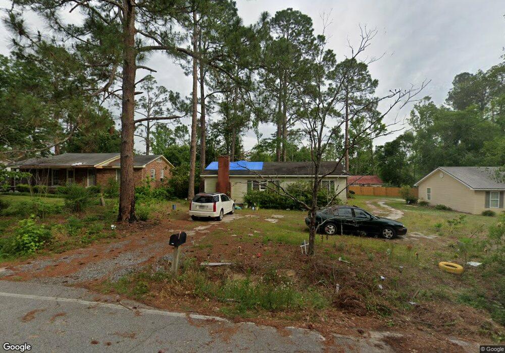
321 Pratt Ave Swainsboro, GA 30401
Estimated Value: $79,000 - $85,000
2
Beds
1
Bath
1,159
Sq Ft
$70/Sq Ft
Est. Value
About This Home
This home is located at 321 Pratt Ave, Swainsboro, GA 30401 and is currently estimated at $80,871, approximately $69 per square foot. 321 Pratt Ave is a home located in Emanuel County with nearby schools including Swainsboro Primary School, Swainsboro Elementary School, and Swainsboro Middle School.
Ownership History
Date
Name
Owned For
Owner Type
Purchase Details
Closed on
Mar 11, 1996
Sold by
Durden Banking Co
Bought by
Rice Ruby M
Current Estimated Value
Purchase Details
Closed on
Dec 20, 1995
Sold by
Durden Banking Co
Bought by
Durden Banking Co
Purchase Details
Closed on
Sep 4, 1994
Sold by
Smith Ricky
Bought by
Outon James E and Outon Rach
Purchase Details
Closed on
Nov 11, 1991
Sold by
Johnson Craig and Johnson Arla
Bought by
Smith Ricky
Purchase Details
Closed on
Apr 5, 1991
Bought by
Johnson Craig and Johnson Arla
Create a Home Valuation Report for This Property
The Home Valuation Report is an in-depth analysis detailing your home's value as well as a comparison with similar homes in the area
Home Values in the Area
Average Home Value in this Area
Purchase History
| Date | Buyer | Sale Price | Title Company |
|---|---|---|---|
| Rice Ruby M | $30,500 | -- | |
| Durden Banking Co | $20,500 | -- | |
| Outon James E | $23,000 | -- | |
| Smith Ricky | $12,500 | -- | |
| Johnson Craig | $10,000 | -- |
Source: Public Records
Tax History Compared to Growth
Tax History
| Year | Tax Paid | Tax Assessment Tax Assessment Total Assessment is a certain percentage of the fair market value that is determined by local assessors to be the total taxable value of land and additions on the property. | Land | Improvement |
|---|---|---|---|---|
| 2024 | $585 | $18,855 | $598 | $18,257 |
| 2023 | $43 | $17,220 | $598 | $16,622 |
| 2022 | $208 | $14,554 | $598 | $13,956 |
| 2021 | $187 | $13,554 | $520 | $13,034 |
| 2020 | $233 | $14,913 | $1,200 | $13,713 |
| 2019 | $233 | $14,913 | $1,200 | $13,713 |
| 2018 | $395 | $14,932 | $1,200 | $13,732 |
| 2017 | $396 | $14,932 | $1,200 | $13,732 |
| 2016 | $232 | $14,913 | $1,200 | $13,713 |
| 2015 | -- | $14,913 | $1,200 | $13,713 |
| 2014 | -- | $14,059 | $1,200 | $12,859 |
| 2013 | -- | $13,982 | $1,200 | $12,782 |
Source: Public Records
Map
Nearby Homes
- 0 Rd Unit 10512197
- 209 Price St
- 532 Calhoun St
- 316 W Moring St
- 555 Mulberry St
- 331 S Green St
- 547 W Moring St
- 555 Jordan Ln
- 327 W Church St
- 426 W Church St
- 118 Pierce Ave
- 219 Lucky St
- 240 Lakewood Dr
- 402 N Main St
- 727 Old Nunez Rd
- 0 Mcleod Dr
- 119 Horseshoe Loop
- 115 Anns Dr
- 767 Old Nunez Rd
- 508 Barbara Ave