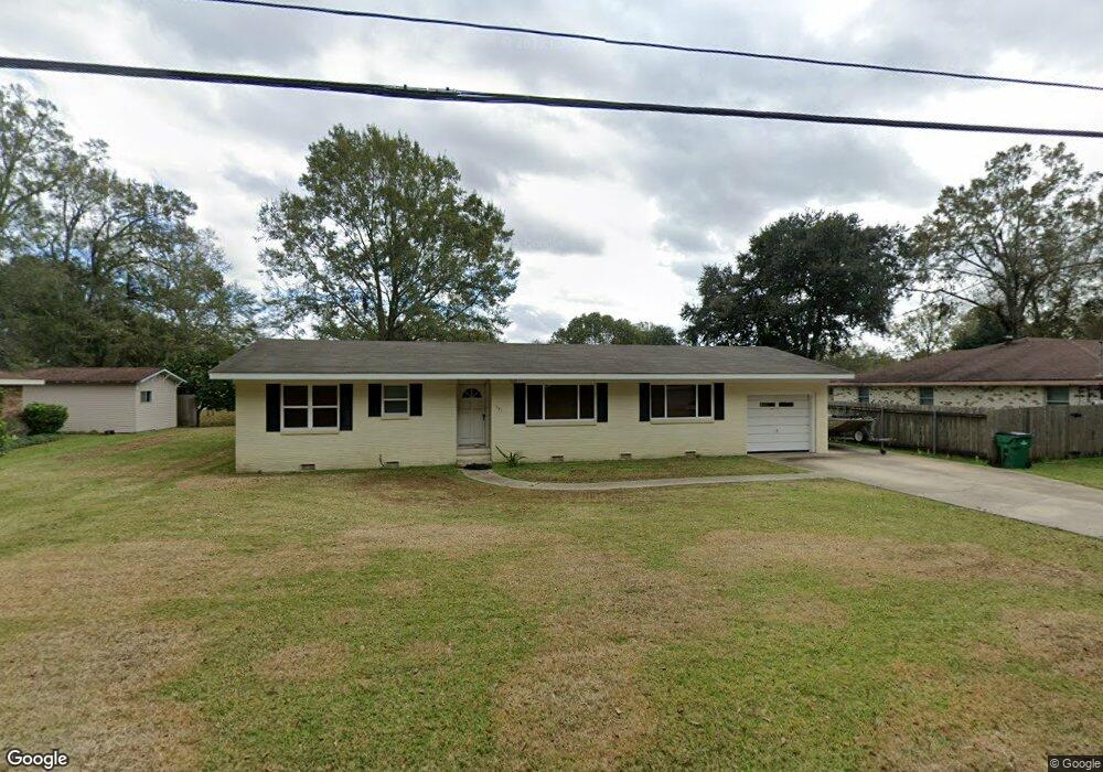
321 River Oaks Dr Luling, LA 70070
Estimated Value: $239,000 - $277,000
3
Beds
2
Baths
1,634
Sq Ft
$160/Sq Ft
Est. Value
About This Home
This home is located at 321 River Oaks Dr, Luling, LA 70070 and is currently estimated at $261,091, approximately $159 per square foot. 321 River Oaks Dr is a home located in St. Charles Parish with nearby schools including Mimosa Park Elementary School, Lakewood Elementary School, and J.B. Martin Middle School.
Ownership History
Date
Name
Owned For
Owner Type
Purchase Details
Closed on
Dec 22, 2011
Sold by
Stabile Sidney A
Bought by
Wise William P
Current Estimated Value
Home Financials for this Owner
Home Financials are based on the most recent Mortgage that was taken out on this home.
Original Mortgage
$125,000
Outstanding Balance
$84,297
Interest Rate
4.02%
Mortgage Type
New Conventional
Estimated Equity
$176,794
Purchase Details
Closed on
May 5, 2011
Sold by
The George Ralph Howe & Elrita S Howe Re and Howe George R
Bought by
Stabile Sidney A
Create a Home Valuation Report for This Property
The Home Valuation Report is an in-depth analysis detailing your home's value as well as a comparison with similar homes in the area
Home Values in the Area
Average Home Value in this Area
Purchase History
| Date | Buyer | Sale Price | Title Company |
|---|---|---|---|
| Wise William P | $175,000 | Crescent Title Llc | |
| Stabile Sidney A | -- | Riverview Title |
Source: Public Records
Mortgage History
| Date | Status | Borrower | Loan Amount |
|---|---|---|---|
| Open | Wise William P | $125,000 |
Source: Public Records
Tax History
| Year | Tax Paid | Tax Assessment Tax Assessment Total Assessment is a certain percentage of the fair market value that is determined by local assessors to be the total taxable value of land and additions on the property. | Land | Improvement |
|---|---|---|---|---|
| 2025 | $847 | $15,880 | $4,470 | $11,410 |
| 2024 | $847 | $15,880 | $4,470 | $11,410 |
| 2023 | $860 | $15,876 | $4,470 | $11,406 |
| 2022 | $1,857 | $15,876 | $4,470 | $11,406 |
| 2021 | $1,685 | $14,288 | $4,023 | $10,265 |
| 2020 | $1,876 | $15,876 | $4,470 | $11,406 |
| 2019 | $1,880 | $15,857 | $3,500 | $12,357 |
| 2018 | $1,866 | $15,857 | $3,500 | $12,357 |
| 2017 | $1,864 | $15,857 | $3,500 | $12,357 |
| 2016 | $1,872 | $15,857 | $3,500 | $12,357 |
| 2015 | $970 | $15,750 | $1,855 | $13,895 |
| 2014 | $935 | $15,750 | $1,855 | $13,895 |
| 2013 | $938 | $15,750 | $1,855 | $13,895 |
Source: Public Records
Map
Nearby Homes
- 317 River Oaks Dr
- 325 River Oaks Dr
- 316 Oak Ln
- 314 Oak Ln
- 318 Oak Ln
- 324 River Oaks Dr
- 312 Oak Ln
- 311 River Oaks Dr
- 320 Oak Ln
- 329 River Oaks Dr
- 312 River Oaks Dr
- 802 Primrose Dr
- 310 Oak Ln
- 700 Primrose Dr
- 313 Monsanto Ave
- 317 Monsanto Ave
- 317 Monsanto Ave
- 309 River Oaks Dr
- 321 Monsanto Ave
- 308 Oak Ln
Your Personal Tour Guide
Ask me questions while you tour the home.