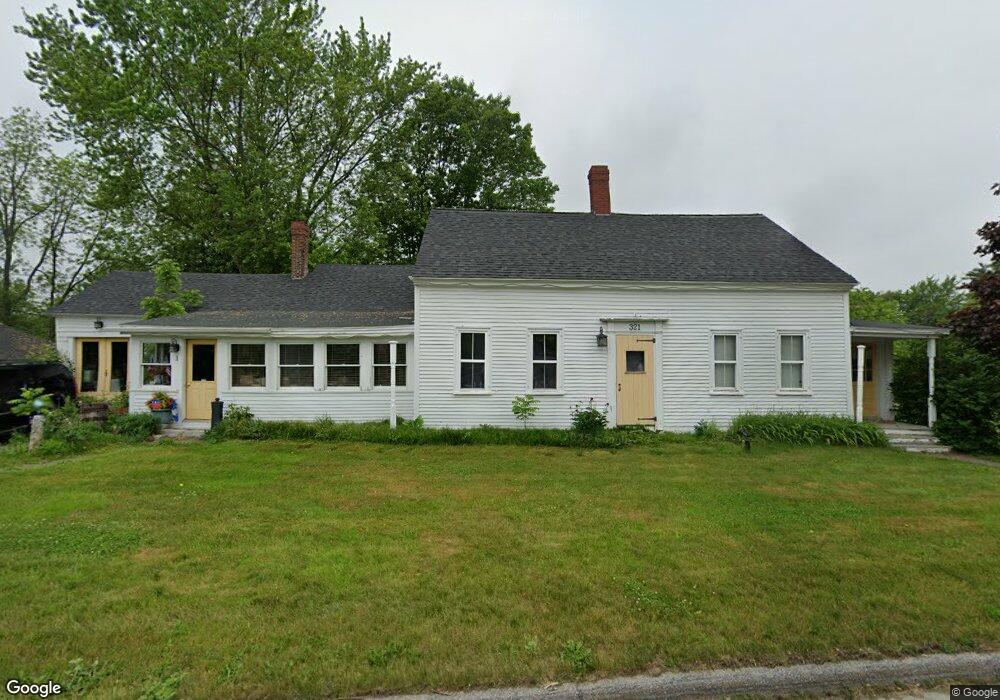
321 River Rd Orrington, ME 04474
Estimated Value: $272,000 - $390,000
Studio
--
Bath
--
Sq Ft
68,825
Sq Ft Lot
About This Home
This home is located at 321 River Rd, Orrington, ME 04474 and is currently estimated at $321,403. 321 River Rd is a home located in Penobscot County with nearby schools including Center Drive School, Calvary Chapel Christian School, and Apostolic Christian Academy.
Ownership History
Date
Name
Owned For
Owner Type
Purchase Details
Closed on
Mar 25, 2011
Sold by
Campbell Ft
Bought by
Campbell Richard H
Current Estimated Value
Home Financials for this Owner
Home Financials are based on the most recent Mortgage that was taken out on this home.
Original Mortgage
$172,000
Interest Rate
5.07%
Mortgage Type
Commercial
Purchase Details
Closed on
Feb 3, 2006
Sold by
Dow Evelyn C Est
Bought by
2003 Campbell Ft
Create a Home Valuation Report for This Property
The Home Valuation Report is an in-depth analysis detailing your home's value as well as a comparison with similar homes in the area
Home Values in the Area
Average Home Value in this Area
Purchase History
| Date | Buyer | Sale Price | Title Company |
|---|---|---|---|
| Campbell Richard H | -- | -- | |
| 2003 Campbell Ft | -- | -- |
Source: Public Records
Mortgage History
| Date | Status | Borrower | Loan Amount |
|---|---|---|---|
| Closed | Campbell Richard H | $172,000 |
Source: Public Records
Tax History
| Year | Tax Paid | Tax Assessment Tax Assessment Total Assessment is a certain percentage of the fair market value that is determined by local assessors to be the total taxable value of land and additions on the property. | Land | Improvement |
|---|---|---|---|---|
| 2025 | $3,605 | $313,500 | $49,300 | $264,200 |
| 2024 | $3,248 | $298,000 | $46,300 | $251,700 |
| 2023 | $3,097 | $281,500 | $43,100 | $238,400 |
| 2022 | $3,203 | $251,200 | $43,100 | $208,100 |
| 2021 | $3,404 | $226,900 | $43,100 | $183,800 |
| 2020 | $3,423 | $215,300 | $43,100 | $172,200 |
| 2019 | $3,423 | $215,300 | $43,100 | $172,200 |
| 2018 | $2,993 | $215,300 | $43,100 | $172,200 |
| 2017 | $2,993 | $215,300 | $43,100 | $172,200 |
| 2016 | $2,596 | $180,900 | $39,000 | $141,900 |
| 2015 | $2,596 | $180,900 | $39,000 | $141,900 |
| 2014 | $2,567 | $178,900 | $39,000 | $139,900 |
| 2013 | $2,406 | $178,900 | $39,000 | $139,900 |
Source: Public Records
Map
Nearby Homes
- 341 River Rd
- 259 River Rd
- Lot 3 00 Stonewall Dr
- Lot 4 00 Stonewall Dr
- 202 River Rd
- 304 Main Rd N
- 2 Ashley Ln
- 23 Horseshoe Ln
- 13 Westbrook Terrace
- 108 Marina Rd
- 32 Northern Ave
- 180 Main Rd N
- 12 Rowell Rd
- 42 Coldbrook Rd
- 17 Crestwood Dr
- 651 S Main St
- M14 L23A Ferry Rd
- 173 Center Dr
- 15 Harbor Dr
- 12 Schoolhouse Ln
- 321 River Rd Unit 2
- 320 River Rd
- 327 River Rd
- 313 River Rd Unit 1
- 313 River Rd Unit 2
- 11 Birch Hill Rd
- 334 River Rd
- 307 River Rd
- 333 River Rd
- 337 River Rd
- 305 River Rd
- 15 Birch Hill Rd
- Lot #1 Stone Wall Dr
- 310 River Rd
- 19 Birch Hill Rd
- 340 River Rd
- 306 River Rd
- 14 Birch Hill Rd
- LOT 7 Stonewall Dr
- Lot #7 Stonewall Dr
Your Personal Tour Guide
Ask me questions while you tour the home.