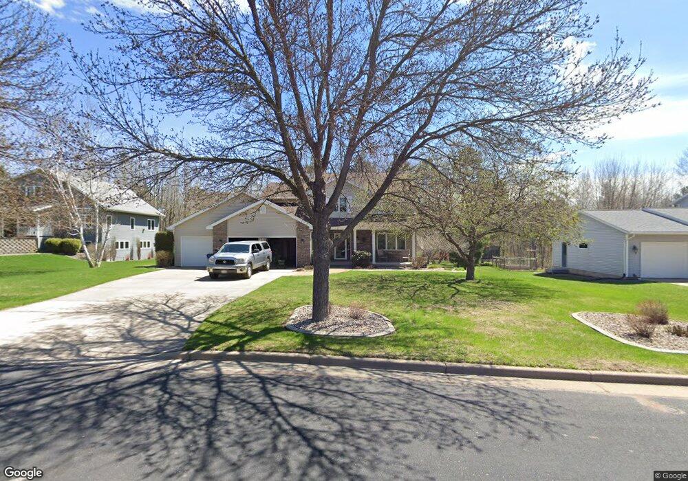
321 S 52nd Ave Wausau, WI 54401
Estimated Value: $389,992 - $460,000
3
Beds
2
Baths
--
Sq Ft
0.41
Acres
About This Home
This home is located at 321 S 52nd Ave, Wausau, WI 54401 and is currently estimated at $426,748. 321 S 52nd Ave is a home located in Marathon County with nearby schools including Stettin Elementary School, John Muir Middle School, and West High School.
Ownership History
Date
Name
Owned For
Owner Type
Purchase Details
Closed on
Jun 29, 2005
Sold by
Sheehan Michael T and Sheehan Kallie J
Bought by
Majernik Jason M and Majernik Susan E
Current Estimated Value
Home Financials for this Owner
Home Financials are based on the most recent Mortgage that was taken out on this home.
Original Mortgage
$183,900
Outstanding Balance
$96,556
Interest Rate
5.75%
Mortgage Type
New Conventional
Estimated Equity
$330,192
Create a Home Valuation Report for This Property
The Home Valuation Report is an in-depth analysis detailing your home's value as well as a comparison with similar homes in the area
Home Values in the Area
Average Home Value in this Area
Purchase History
| Date | Buyer | Sale Price | Title Company |
|---|---|---|---|
| Majernik Jason M | $229,900 | None Available |
Source: Public Records
Mortgage History
| Date | Status | Borrower | Loan Amount |
|---|---|---|---|
| Open | Majernik Jason M | $183,900 |
Source: Public Records
Tax History Compared to Growth
Tax History
| Year | Tax Paid | Tax Assessment Tax Assessment Total Assessment is a certain percentage of the fair market value that is determined by local assessors to be the total taxable value of land and additions on the property. | Land | Improvement |
|---|---|---|---|---|
| 2024 | $6,912 | $371,800 | $42,400 | $329,400 |
| 2023 | $6,508 | $268,500 | $47,000 | $221,500 |
| 2022 | $6,541 | $268,500 | $47,000 | $221,500 |
| 2021 | $6,309 | $268,500 | $47,000 | $221,500 |
| 2020 | $6,494 | $268,500 | $47,000 | $221,500 |
| 2019 | $6,224 | $241,700 | $34,400 | $207,300 |
| 2018 | $6,346 | $241,700 | $34,400 | $207,300 |
| 2017 | $5,991 | $241,700 | $34,400 | $207,300 |
| 2016 | $5,816 | $241,700 | $34,400 | $207,300 |
| 2015 | $6,107 | $241,700 | $34,400 | $207,300 |
| 2014 | $6,596 | $273,900 | $48,100 | $225,800 |
Source: Public Records
Map
Nearby Homes
- 5713 Birchwood Dr
- 210 Bluestone Dr
- 303 Rimrock Rd
- 210 S 45th Ave
- 4615 Rib River Trail
- 6007 Birchwood Dr
- 206 N 44th Ave
- 212 Windtree Dr
- 6011 Stettin Dr
- 6603 Conner Davis Dr
- 6607 Morgan Creek Dr
- 116 S 68th Ave
- 310 Lisbeth Rd
- 3401 Christian Ave
- 10.80 Acres N 72nd Ave
- 2812 Hubbill Ave
- 227815 Sharptail Rd
- 145683 Flint Creek Cir
- 231747 Twin Fawn Trail
- 2102 Wegner St
- 325 S 52nd Ave
- 317 S 52nd Ave
- 313 S 52nd Ave
- 329 S 52nd Ave
- 318 S 52nd Ave
- 322 S 52nd Ave
- 5202 Lombardy Dr
- 309 S 52nd Ave
- 5210 Roger Dr
- 5203 Russell Dr
- 5215 Roger Dr
- 501 S 52nd Ave
- 5206 Lombardy Dr
- 305 S 52nd Ave
- 5207 Russell Dr
- 5310 Roger Dr
- 505 S 52nd Ave
- 5315 Roger Dr
- 5309 Russell Dr
- 5312 Lombardy Dr