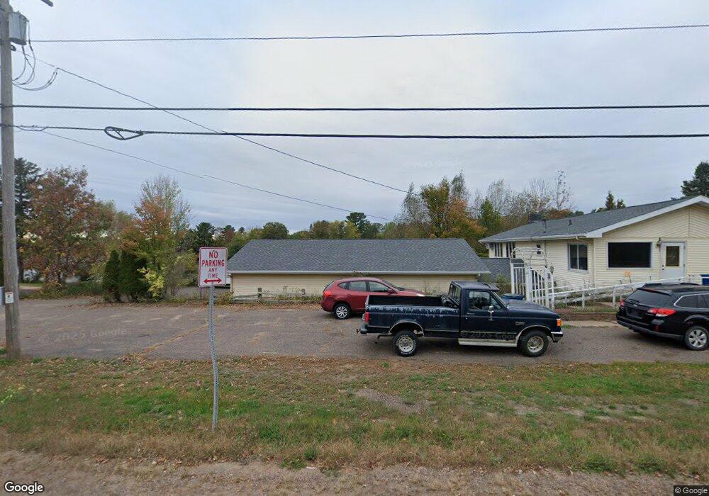
321 S River St Spooner, WI 54801
Estimated Value: $266,000 - $295,000
--
Bed
--
Bath
3,360
Sq Ft
$84/Sq Ft
Est. Value
About This Home
This home is located at 321 S River St, Spooner, WI 54801 and is currently estimated at $280,905, approximately $83 per square foot. 321 S River St is a home located in Washburn County with nearby schools including Spooner Elementary School, Spooner Middle School, and Spooner High School.
Ownership History
Date
Name
Owned For
Owner Type
Purchase Details
Closed on
Jan 31, 2022
Sold by
J. Wendlandt Michael
Bought by
Cheryl Koch
Current Estimated Value
Purchase Details
Closed on
Sep 13, 2021
Sold by
Wendlant Michael J and As Mary
Bought by
Wendlant Michael J
Purchase Details
Closed on
Jun 19, 2008
Sold by
Wendlandt Franklin J Junice L
Bought by
Wendlandt Franklin J Junice L
Create a Home Valuation Report for This Property
The Home Valuation Report is an in-depth analysis detailing your home's value as well as a comparison with similar homes in the area
Home Values in the Area
Average Home Value in this Area
Purchase History
| Date | Buyer | Sale Price | Title Company |
|---|---|---|---|
| Cheryl Koch | $170,000 | Nicole Stott | |
| Wendlant Michael J | $200,000 | Estreen And Ogland | |
| Franklin J And Junice L Wendlandt Trus | $200,000 | Estreen And Ogland | |
| Wendlandt Franklin J Junice L | -- | -- |
Source: Public Records
Tax History Compared to Growth
Tax History
| Year | Tax Paid | Tax Assessment Tax Assessment Total Assessment is a certain percentage of the fair market value that is determined by local assessors to be the total taxable value of land and additions on the property. | Land | Improvement |
|---|---|---|---|---|
| 2023 | $5,029 | $198,900 | $46,000 | $152,900 |
| 2022 | $4,751 | $198,900 | $46,000 | $152,900 |
| 2021 | $4,736 | $198,900 | $46,000 | $152,900 |
| 2020 | $4,755 | $198,900 | $46,000 | $152,900 |
| 2019 | $4,581 | $198,900 | $46,000 | $152,900 |
| 2018 | $4,293 | $198,900 | $46,000 | $152,900 |
| 2017 | $4,278 | $198,900 | $46,000 | $152,900 |
| 2016 | $4,248 | $198,900 | $46,000 | $152,900 |
| 2015 | $4,078 | $198,900 | $46,000 | $152,900 |
| 2014 | $3,988 | $198,900 | $46,000 | $152,900 |
| 2012 | $4,035 | $198,900 | $46,000 | $152,900 |
Source: Public Records
Map
Nearby Homes
- 106 S Summit St
- 0 Hwy 70 Unit 1594695
- XXX Dur A Bilt Rd
- XXX Pine Dr
- Lot 1 Lois Lane S Lois Ln SW
- 607 College St
- Lot 2 Grant St
- 924 Superior St
- 222 Spruce St
- 409 Poplar St
- 0 Northland Dr
- xxx Trails End
- 7395 Miller Rd
- N4821 Tozer Lake Rd
- N5603 Tower Hill Rd
- 0 U S 53
- 5810 Bear Path Ln
- N4461 Tozer Lake Rd
- 00 Cable Car Ln
- W6198 Little Valley Rd
- 348 Greenwood Ave
- 211 E Linn St
- 411 S River Bay
- 219 E Linn St
- 204 S Summit St
- 407 S River Bay
- 323 Greenwood Ave
- 322 Woodlawn St
- 406 Woodlawn St
- 416 Woodlawn St
- 403 Bay Ave
- 426 Bay Ave
- 410 Bay Ave
- 406 Bay Ave
- 329 Greenwood Ave
- 309 Woodlawn St
- 328 Greenwood Ave
- 334 Greenwood Ave
- 312 Woodlawn St
- 320 Greenwood Ave