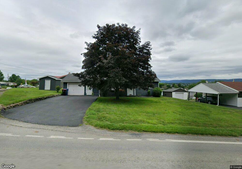
321 Saint Marys Rd Latrobe, PA 15650
Estimated Value: $89,399 - $180,000
--
Bed
--
Bath
1,007
Sq Ft
$139/Sq Ft
Est. Value
About This Home
This home is located at 321 Saint Marys Rd, Latrobe, PA 15650 and is currently estimated at $139,850, approximately $138 per square foot. 321 Saint Marys Rd is a home located in Westmoreland County with nearby schools including Greater Latrobe Junior High School, Greater Latrobe Senior High School, and Christ the Divine Teacher School.
Ownership History
Date
Name
Owned For
Owner Type
Purchase Details
Closed on
Apr 14, 2021
Sold by
Bridge Ellen D
Bought by
Warren James K and Warren Wendy L
Current Estimated Value
Home Financials for this Owner
Home Financials are based on the most recent Mortgage that was taken out on this home.
Original Mortgage
$75,600
Outstanding Balance
$68,258
Interest Rate
3%
Mortgage Type
Future Advance Clause Open End Mortgage
Estimated Equity
$71,592
Purchase Details
Closed on
May 6, 2008
Sold by
Slaninko E Darlene and Bridge Ellen D
Bought by
Bridge Ellen D
Purchase Details
Closed on
Sep 28, 2004
Sold by
Slaninko Rudolph S and Darlene Slaninko E
Bought by
Slaninko E Darlene
Create a Home Valuation Report for This Property
The Home Valuation Report is an in-depth analysis detailing your home's value as well as a comparison with similar homes in the area
Home Values in the Area
Average Home Value in this Area
Purchase History
| Date | Buyer | Sale Price | Title Company |
|---|---|---|---|
| Warren James K | -- | None Available | |
| Bridge Ellen D | -- | None Available | |
| Slaninko E Darlene | -- | -- |
Source: Public Records
Mortgage History
| Date | Status | Borrower | Loan Amount |
|---|---|---|---|
| Open | Warren James K | $75,600 |
Source: Public Records
Tax History Compared to Growth
Tax History
| Year | Tax Paid | Tax Assessment Tax Assessment Total Assessment is a certain percentage of the fair market value that is determined by local assessors to be the total taxable value of land and additions on the property. | Land | Improvement |
|---|---|---|---|---|
| 2025 | $1,678 | $12,160 | $3,320 | $8,840 |
| 2024 | $1,678 | $12,160 | $3,320 | $8,840 |
| 2023 | $1,556 | $12,160 | $3,320 | $8,840 |
| 2022 | $1,556 | $12,160 | $3,320 | $8,840 |
| 2021 | $1,544 | $12,160 | $3,320 | $8,840 |
| 2020 | $1,523 | $12,160 | $3,320 | $8,840 |
| 2019 | $1,505 | $12,160 | $3,320 | $8,840 |
| 2018 | $1,499 | $12,160 | $3,320 | $8,840 |
| 2017 | $1,477 | $12,160 | $3,320 | $8,840 |
| 2016 | $1,465 | $12,160 | $3,320 | $8,840 |
| 2015 | $1,465 | $12,160 | $3,320 | $8,840 |
| 2014 | $1,453 | $12,160 | $3,320 | $8,840 |
Source: Public Records
Map
Nearby Homes
- 134 Meade Dr
- 315 Saint Marys Rd
- 133 Braddock Dr
- 128 Meade Dr
- 125 Braddock Dr
- 137 Meade Dr
- 305 Saint Marys Rd
- 121 Braddock Dr
- 122 Meade Dr
- 127 Meade Dr
- 115 Braddock Dr
- 413 Saint Marys Rd
- 118 Meade Dr
- 128 Braddock Dr
- 134 Braddock Dr
- 121 Meade Dr
- 124 Braddock Dr
- 140 Braddock Dr
- 111 Braddock Dr
- 118 Braddock Dr