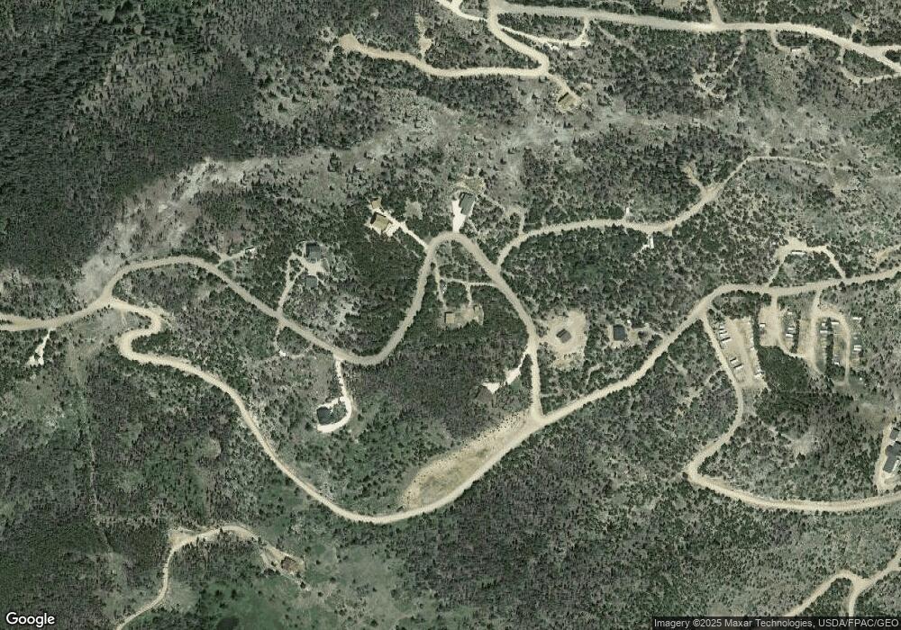
321 Shasta Way Red Feather Lakes, CO 80545
Estimated Value: $387,711 - $443,000
2
Beds
1
Bath
1,288
Sq Ft
$317/Sq Ft
Est. Value
About This Home
This home is located at 321 Shasta Way, Red Feather Lakes, CO 80545 and is currently estimated at $408,928, approximately $317 per square foot. 321 Shasta Way is a home located in Larimer County with nearby schools including Red Feather Lakes Elementary School, Cache La Poudre Middle School, and Poudre High School.
Ownership History
Date
Name
Owned For
Owner Type
Purchase Details
Closed on
Dec 23, 2009
Sold by
Bernstein Ben C and Bernstein Tiffany A O
Bought by
Deal Robert B and Deal Liliana C
Current Estimated Value
Home Financials for this Owner
Home Financials are based on the most recent Mortgage that was taken out on this home.
Original Mortgage
$90,000
Outstanding Balance
$58,703
Interest Rate
4.9%
Mortgage Type
New Conventional
Estimated Equity
$350,225
Purchase Details
Closed on
Apr 5, 2007
Sold by
Hockley Wayne R and Hockley Julie B
Bought by
Bernstein Ben C and Bernstein Tiffany A O
Purchase Details
Closed on
Nov 18, 1996
Sold by
Hector Lois M Trustees
Bought by
Hockley Wayne R and Hockley Julie B
Purchase Details
Closed on
Sep 1, 1993
Sold by
Hector Lois M
Bought by
Hector Robert W Living Trust
Create a Home Valuation Report for This Property
The Home Valuation Report is an in-depth analysis detailing your home's value as well as a comparison with similar homes in the area
Home Values in the Area
Average Home Value in this Area
Purchase History
| Date | Buyer | Sale Price | Title Company |
|---|---|---|---|
| Deal Robert B | $150,000 | Land Title Guarantee Company | |
| Bernstein Ben C | $157,000 | North American Title | |
| Hockley Wayne R | $13,700 | -- | |
| Hector Robert W Living Trust | -- | -- |
Source: Public Records
Mortgage History
| Date | Status | Borrower | Loan Amount |
|---|---|---|---|
| Open | Deal Robert B | $90,000 |
Source: Public Records
Tax History Compared to Growth
Tax History
| Year | Tax Paid | Tax Assessment Tax Assessment Total Assessment is a certain percentage of the fair market value that is determined by local assessors to be the total taxable value of land and additions on the property. | Land | Improvement |
|---|---|---|---|---|
| 2025 | $2,182 | $26,713 | $6,090 | $20,623 |
| 2024 | $2,098 | $26,713 | $6,090 | $20,623 |
| 2022 | $1,533 | $16,270 | $2,363 | $13,907 |
| 2021 | $1,549 | $16,738 | $2,431 | $14,307 |
| 2020 | $1,353 | $14,493 | $1,823 | $12,670 |
| 2019 | $1,359 | $14,493 | $1,823 | $12,670 |
| 2018 | $1,179 | $12,960 | $1,836 | $11,124 |
| 2017 | $1,175 | $12,960 | $1,836 | $11,124 |
| 2016 | $1,170 | $12,847 | $1,592 | $11,255 |
| 2015 | $1,162 | $12,850 | $1,590 | $11,260 |
| 2014 | $952 | $10,940 | $1,590 | $9,350 |
Source: Public Records
Map
Nearby Homes
- 37 Shasta Way
- 224 Six Elk Ct
- 274 Arapahoe Way
- 60 Comanito Ct
- 130 Natchez Cir
- 1070 Pearl Creek Rd
- 50 Carrier Way
- 90 Quapaw Ct
- 113 Shoshoni Dr
- 125 Penobscot Ct
- 1244 Mosquito Dr
- 170 Penobscot Ct
- 754 Mescalero Dr
- 591 Tuscarora Way
- 126 Pensacola Ct
- 460 Mescalero Dr
- 1836 Shoshoni Dr
- 3706 Ottawa Way
- 37 N Oneida Ct
- 89 Suma Ct
- 274 Shasta Way
- 379 Shasta Way
- 388 Shasta Way
- 302 Shasta Way
- 122 Shasta Way
- 0 Shasta Way
- 157 Shasta Way
- 60 Axtupi Ct
- 101 Axtupi Ct
- 2094 Mosquito Dr
- 19 Axtupi Ct
- 123 Shasta Way
- 139 Nanitocoke Ct
- 100 Axtupi Ct
- 321 Mosquito Dr
- 139 Nanticoke Ct
- 93 Nanticoke Ct
- 93 Nanitocoke Ct
- 185 Nanticoke Cir Ct
- 185 Nanticoke Ct
