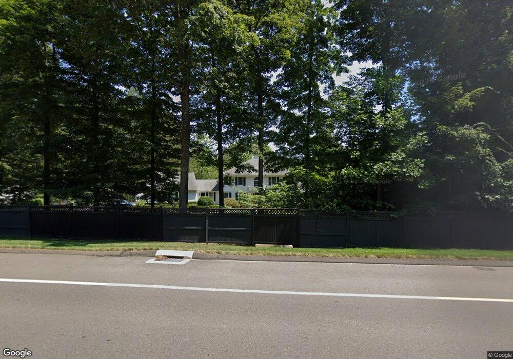
321 Smith Ridge Rd New Canaan, CT 06840
Estimated Value: $2,262,096 - $2,563,000
4
Beds
5
Baths
3,737
Sq Ft
$658/Sq Ft
Est. Value
About This Home
This home is located at 321 Smith Ridge Rd, New Canaan, CT 06840 and is currently estimated at $2,458,524, approximately $657 per square foot. 321 Smith Ridge Rd is a home located in Fairfield County with nearby schools including East Elementary School, Saxe Middle School, and New Canaan High School.
Ownership History
Date
Name
Owned For
Owner Type
Purchase Details
Closed on
Mar 15, 2007
Sold by
Shorten Richard L and Shorten Rachel M
Bought by
Barker James P and Barker Allison L
Current Estimated Value
Purchase Details
Closed on
Oct 27, 1998
Sold by
Cherry Dean E and Cherry Jacqueline G
Bought by
George Michael R
Purchase Details
Closed on
Feb 1, 1996
Sold by
Morris John J and Morris Jean W
Bought by
Cherry Dean E and Cherry Jacqueline G
Create a Home Valuation Report for This Property
The Home Valuation Report is an in-depth analysis detailing your home's value as well as a comparison with similar homes in the area
Home Values in the Area
Average Home Value in this Area
Purchase History
| Date | Buyer | Sale Price | Title Company |
|---|---|---|---|
| Barker James P | $1,600,000 | -- | |
| George Michael R | $1,000,000 | -- | |
| Cherry Dean E | $745,000 | -- |
Source: Public Records
Mortgage History
| Date | Status | Borrower | Loan Amount |
|---|---|---|---|
| Open | Cherry Dean E | $143,000 | |
| Open | Cherry Dean E | $1,300,000 |
Source: Public Records
Tax History Compared to Growth
Tax History
| Year | Tax Paid | Tax Assessment Tax Assessment Total Assessment is a certain percentage of the fair market value that is determined by local assessors to be the total taxable value of land and additions on the property. | Land | Improvement |
|---|---|---|---|---|
| 2025 | $19,958 | $1,195,810 | $595,070 | $600,740 |
| 2024 | $19,300 | $1,195,810 | $595,070 | $600,740 |
| 2023 | $18,398 | $971,390 | $657,720 | $313,670 |
| 2022 | $17,844 | $971,390 | $657,720 | $313,670 |
| 2021 | $17,640 | $971,390 | $657,720 | $313,670 |
| 2020 | $17,640 | $971,390 | $657,720 | $313,670 |
| 2019 | $17,718 | $971,390 | $657,720 | $313,670 |
| 2018 | $19,757 | $1,164,940 | $696,850 | $468,090 |
| 2017 | $19,420 | $1,164,940 | $696,850 | $468,090 |
| 2016 | $19,000 | $1,164,940 | $696,850 | $468,090 |
| 2015 | $19,291 | $1,164,940 | $696,850 | $468,090 |
| 2014 | $18,103 | $1,164,940 | $696,850 | $468,090 |
Source: Public Records
Map
Nearby Homes
- 240 Rosebrook Rd
- 49 Ludlowe Rd
- 101 Parade Hill Rd
- 52 Garibaldi Ln
- 61 Smith Ridge Rd
- 262 Brushy Ridge Rd
- 114 Ferris Hill Rd
- 145 River St
- 565 Oenoke Ridge
- 544 Oenoke Ridge
- 99 Wardwell Dr
- 232 Sleepy Hollow Rd
- 758 Smith Ridge Rd
- 79 Locust Ave Unit 212
- 17 Wardwell Dr
- 85 Locust Ave Unit 516
- 30L Huckleberry Hill Rd
- 42 Forest St Unit A
- 67 Carter St
- 96 East Ave Unit C
- 303 Smith Ridge Rd
- 323 Smith Ridge Rd
- 297 Smith Ridge Rd
- 51 Twin Pond Ln
- 289 Smith Ridge Rd
- 12 Norholt Dr
- 3 Norholt Dr
- 288 Smith Ridge Rd
- 279 Smith Ridge Rd
- 82 Twin Pond Ln
- 346 Smith Ridge Rd
- 22 Norholt Dr
- 31 Norholt Dr
- 56 Twin Pond Ln
- 52 Twin Pond Ln
- 370 Smith Ridge Rd
- 364 Smith Ridge Rd
- 302 Rosebrook Rd
- 24 Twin Pond Ln
- 44 Twin Pond Ln