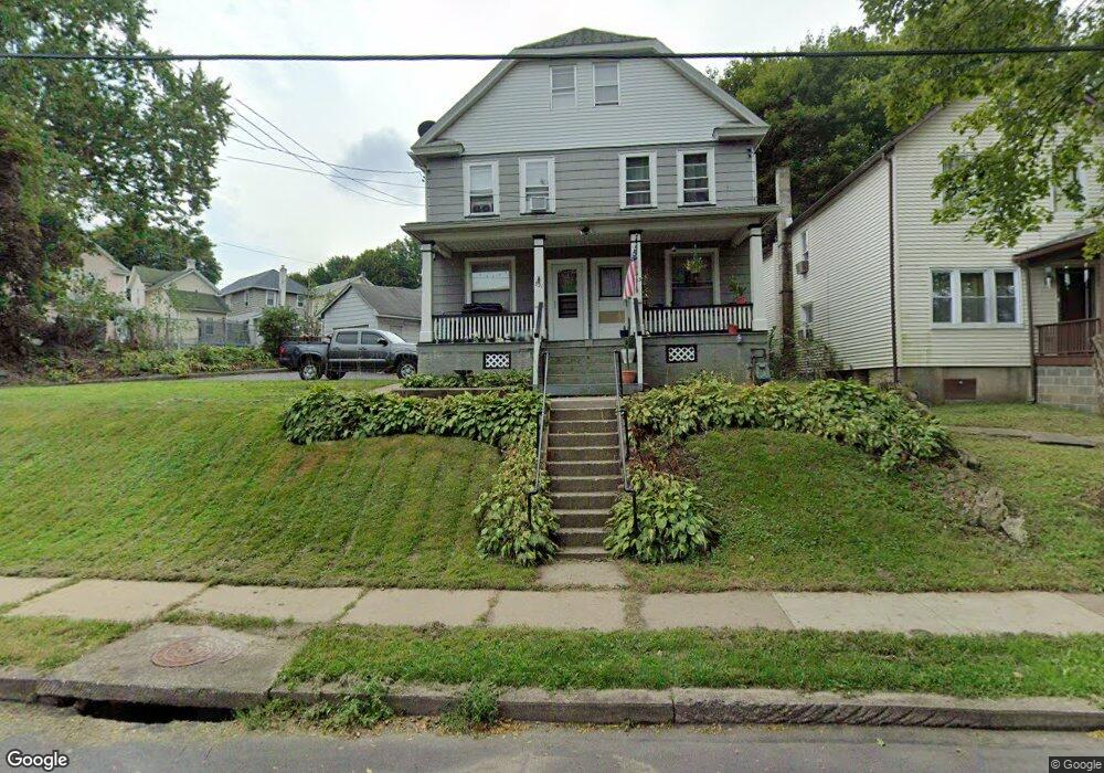
321 Spring St Unit 323 Scranton, PA 18508
Providence NeighborhoodEstimated Value: $168,000 - $258,000
Studio
--
Bath
--
Sq Ft
8,538
Sq Ft Lot
About This Home
This home is located at 321 Spring St Unit 323, Scranton, PA 18508 and is currently estimated at $210,667. 321 Spring St Unit 323 is a home located in Lackawanna County with nearby schools including Neil Armstrong Elementary School, Northeast Scranton Intermediate School, and Scranton High School.
Ownership History
Date
Name
Owned For
Owner Type
Purchase Details
Closed on
Dec 4, 2015
Sold by
Kruk Florence M
Bought by
Lance Nicole A
Current Estimated Value
Purchase Details
Closed on
Sep 10, 1965
Bought by
Kruk Eugene and Kruk Florence M
Create a Home Valuation Report for This Property
The Home Valuation Report is an in-depth analysis detailing your home's value as well as a comparison with similar homes in the area
Home Values in the Area
Average Home Value in this Area
Purchase History
| Date | Buyer | Sale Price | Title Company |
|---|---|---|---|
| Lance Nicole A | $25,000 | Attorney | |
| Kruk Eugene | $6,800 | -- |
Source: Public Records
Tax History
| Year | Tax Paid | Tax Assessment Tax Assessment Total Assessment is a certain percentage of the fair market value that is determined by local assessors to be the total taxable value of land and additions on the property. | Land | Improvement |
|---|---|---|---|---|
| 2025 | $2,928 | $9,000 | $1,600 | $7,400 |
| 2024 | $2,678 | $9,000 | $1,600 | $7,400 |
| 2023 | $2,678 | $9,000 | $1,600 | $7,400 |
| 2022 | $2,620 | $9,000 | $1,600 | $7,400 |
| 2021 | $2,620 | $9,000 | $1,600 | $7,400 |
| 2020 | $2,571 | $9,000 | $1,600 | $7,400 |
| 2019 | $2,419 | $9,000 | $1,600 | $7,400 |
| 2018 | $2,419 | $9,000 | $1,600 | $7,400 |
| 2017 | $2,377 | $9,000 | $1,600 | $7,400 |
| 2016 | $0 | $9,000 | $1,600 | $7,400 |
| 2015 | $1,462 | $9,000 | $1,600 | $7,400 |
| 2014 | -- | $9,000 | $1,600 | $7,400 |
Source: Public Records
Map
Nearby Homes
- 214 William St
- 2009-2011 Margaret Ave
- 2105 Belmont Terrace
- 418 Leggett St
- 2089 N Main Ave
- 1804 N Main Ave
- 2141 N Main Ave
- 193 W Parker St
- 463 Oak St
- 510 Oak St
- 220 Ferdinand St
- 2402 N Main Ave
- 328 Ferdinand St
- 1720 Mcdonough Ave
- 131 Throop St
- 309 Ferdinand St
- 194 Charles St
- 511 Race St
- 63-65 E Parker St
- 2706 N Main Ave
- 325 Spring St
- 316 Spring St
- 2113 Wayne Ave
- 2115-2117 Wayne Ave
- 2115 Wayne Ave Unit 2117
- 2111 Wayne Ave
- 2115 2117 Wayne Ave
- 2136 Brick Ave Unit L3
- 2138 Brick Ave Unit 2140
- 314 Spring St
- 327 Spring St
- 327 Spring St Unit R
- 2043 2045 Wayne Ave
- 2043 Wayne Ave Unit 2045
- 2043 2045 Wayne Ave
- 333 unit B Spring St
- 330 Spring St
- 2119 Wayne Ave
- 2121 Wayne Ave
- 2144 Brick Ave
Your Personal Tour Guide
Ask me questions while you tour the home.