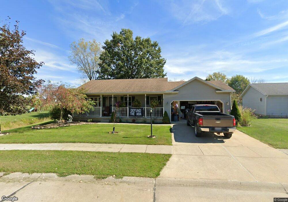
321 Turtle Creek Lagrange, OH 44050
Estimated Value: $156,771 - $175,000
2
Beds
1
Bath
884
Sq Ft
$186/Sq Ft
Est. Value
About This Home
This home is located at 321 Turtle Creek, Lagrange, OH 44050 and is currently estimated at $164,193, approximately $185 per square foot. 321 Turtle Creek is a home located in Lorain County with nearby schools including Keystone Elementary School, Keystone Middle School, and Keystone High School.
Ownership History
Date
Name
Owned For
Owner Type
Purchase Details
Closed on
Jul 26, 2000
Sold by
Skrada John A and Ksiezyk Skrada Heidi E
Bought by
Barth Shirley F
Current Estimated Value
Purchase Details
Closed on
Jul 10, 1995
Sold by
Sawbuck Inc
Bought by
Curtiss Gary A and Curtiss Amy R
Home Financials for this Owner
Home Financials are based on the most recent Mortgage that was taken out on this home.
Original Mortgage
$85,200
Interest Rate
7.9%
Mortgage Type
New Conventional
Create a Home Valuation Report for This Property
The Home Valuation Report is an in-depth analysis detailing your home's value as well as a comparison with similar homes in the area
Home Values in the Area
Average Home Value in this Area
Purchase History
| Date | Buyer | Sale Price | Title Company |
|---|---|---|---|
| Barth Shirley F | $109,000 | Lorain County Title Co Inc | |
| Curtiss Gary A | $94,760 | -- |
Source: Public Records
Mortgage History
| Date | Status | Borrower | Loan Amount |
|---|---|---|---|
| Previous Owner | Curtiss Gary A | $85,200 |
Source: Public Records
Tax History
| Year | Tax Paid | Tax Assessment Tax Assessment Total Assessment is a certain percentage of the fair market value that is determined by local assessors to be the total taxable value of land and additions on the property. | Land | Improvement |
|---|---|---|---|---|
| 2024 | $2,320 | $48,643 | $8,474 | $40,170 |
| 2023 | $2,317 | $40,702 | $8,600 | $32,102 |
| 2022 | $2,302 | $40,702 | $8,600 | $32,102 |
| 2021 | $2,302 | $40,702 | $8,600 | $32,102 |
| 2020 | $2,277 | $34,380 | $7,260 | $27,120 |
| 2019 | $2,184 | $34,380 | $7,260 | $27,120 |
| 2018 | $1,834 | $34,380 | $7,260 | $27,120 |
| 2017 | $1,864 | $32,750 | $5,150 | $27,600 |
| 2016 | $1,366 | $32,750 | $5,150 | $27,600 |
| 2015 | $1,363 | $32,750 | $5,150 | $27,600 |
| 2014 | $1,105 | $31,190 | $4,900 | $26,290 |
| 2013 | $1,071 | $31,190 | $4,900 | $26,290 |
Source: Public Records
Map
Nearby Homes
- 479 Stallion Ct
- 476 Stallion Ct
- 468 Stallion Ct
- 510 Arabian Ct
- 42113 Meadow Ln
- 704 Black Bear Run
- 43311 Peck Wadsworth Rd
- 0 West Rd Unit 5125531
- 20630 State Route 301
- 0 Whitehead Rd
- 40260 Whitney Rd
- 110 Railroad St
- 305 W Main St
- 0 Ohio 301
- 43902 State Route 303
- 317 Church St
- 0 Dill Ct Unit 5072837
- 516 Appomattox Ct
- 548 William St
- 340 Granger Dr
- 322 Turtle Creek
- 320 Turtle Creek
- 323 Turtle Creek
- 255 Turtle Creek
- 241 Turtle Creek
- 319 Turtle Creek
- 256 Turtle Creek
- 324 Turtle Creek
- 242 Turtle Creek
- 327 Stable Dr
- 328 Stable Dr
- 318 Turtle Creek
- 257 Turtle Creek
- 326 Stable Dr
- 42067 Biggs Rd
- 317 Turtle Creek
- 375 Stable Dr
- 244 Forest Park Dr
- 237 Turtle Creek
- 376 Stable Dr
Your Personal Tour Guide
Ask me questions while you tour the home.