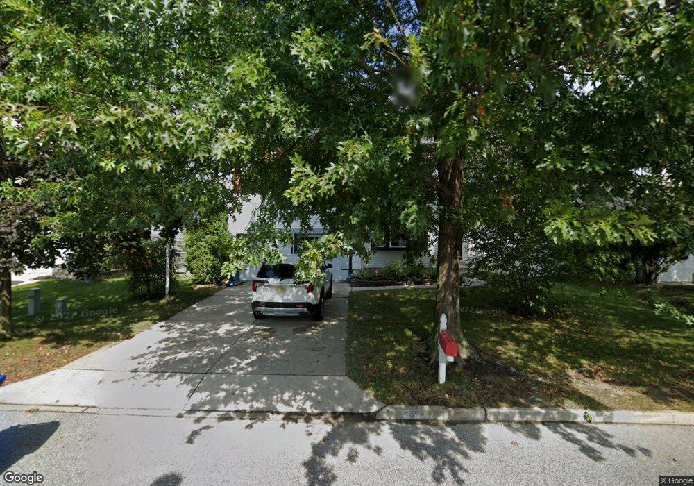
321 Val Dr Mount Laurel, NJ 08054
Estimated Value: $604,452 - $697,000
--
Bed
--
Bath
2,452
Sq Ft
$262/Sq Ft
Est. Value
About This Home
This home is located at 321 Val Dr, Mount Laurel, NJ 08054 and is currently estimated at $641,863, approximately $261 per square foot. 321 Val Dr is a home located in Burlington County with nearby schools including Countryside Elementary School, T.E. Harrington Middle School, and Mount Laurel Hartford School.
Ownership History
Date
Name
Owned For
Owner Type
Purchase Details
Closed on
Aug 11, 1995
Sold by
Orleans Corp Of New Jersey
Bought by
Dellafranco James T and Dellafranco Laura
Current Estimated Value
Create a Home Valuation Report for This Property
The Home Valuation Report is an in-depth analysis detailing your home's value as well as a comparison with similar homes in the area
Home Values in the Area
Average Home Value in this Area
Purchase History
| Date | Buyer | Sale Price | Title Company |
|---|---|---|---|
| Dellafranco James T | $208,046 | Sentry Land Title Agency Inc |
Source: Public Records
Tax History Compared to Growth
Tax History
| Year | Tax Paid | Tax Assessment Tax Assessment Total Assessment is a certain percentage of the fair market value that is determined by local assessors to be the total taxable value of land and additions on the property. | Land | Improvement |
|---|---|---|---|---|
| 2025 | $11,659 | $369,300 | $99,500 | $269,800 |
| 2024 | $11,219 | $369,300 | $99,500 | $269,800 |
| 2023 | $11,219 | $369,300 | $99,500 | $269,800 |
| 2022 | $11,182 | $369,300 | $99,500 | $269,800 |
| 2021 | $10,972 | $369,300 | $99,500 | $269,800 |
| 2020 | $10,758 | $369,300 | $99,500 | $269,800 |
| 2019 | $10,647 | $369,300 | $99,500 | $269,800 |
| 2018 | $10,566 | $369,300 | $99,500 | $269,800 |
| 2017 | $10,292 | $369,300 | $99,500 | $269,800 |
| 2016 | $10,137 | $369,300 | $99,500 | $269,800 |
| 2015 | $10,019 | $369,300 | $99,500 | $269,800 |
| 2014 | $9,919 | $369,300 | $99,500 | $269,800 |
Source: Public Records
Map
Nearby Homes
- 2 Watson Dr
- 1302 Ginger Dr
- 1201A Ginger Ct
- 13 Village Ct Unit 13
- 124 W Berwin Way
- 53 Saw Mill Dr
- 11 E Berwin Way
- 810 Mount Laurel Rd
- 212 Dogwood Dr
- 907A Oliphant Ln Unit 907A
- 420 Elderberry Ct
- 6 Leighton Dr
- 12 B E Daisy Ln
- 23 E Oleander Dr
- 324 Mount Laurel Rd
- 205 Kirby Way Unit 205
- 603 Kirby Way Unit 603
- 329 Mount Laurel Rd
- 74 Poppy Ct
- 130B Birchfield Ct Unit 130B