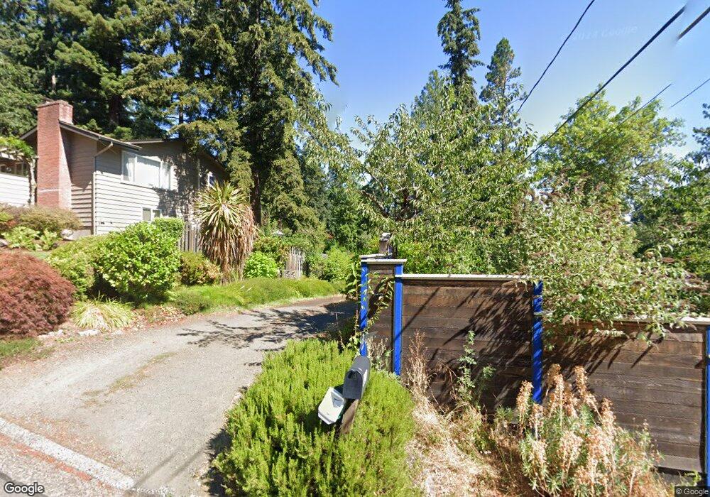
321 W 39th Ave Eugene, OR 97405
Crest Drive NeighborhoodEstimated Value: $610,669 - $754,000
5
Beds
2
Baths
2,166
Sq Ft
$307/Sq Ft
Est. Value
About This Home
This home is located at 321 W 39th Ave, Eugene, OR 97405 and is currently estimated at $665,417, approximately $307 per square foot. 321 W 39th Ave is a home located in Lane County with nearby schools including Edgewood Community Elementary School, Spencer Butte Middle School, and South Eugene High School.
Ownership History
Date
Name
Owned For
Owner Type
Purchase Details
Closed on
Dec 8, 2020
Sold by
Wright Jay G
Bought by
Tillinghast Wright Family Trust
Current Estimated Value
Create a Home Valuation Report for This Property
The Home Valuation Report is an in-depth analysis detailing your home's value as well as a comparison with similar homes in the area
Home Values in the Area
Average Home Value in this Area
Purchase History
| Date | Buyer | Sale Price | Title Company |
|---|---|---|---|
| Tillinghast Wright Family Trust | -- | -- |
Source: Public Records
Tax History
| Year | Tax Paid | Tax Assessment Tax Assessment Total Assessment is a certain percentage of the fair market value that is determined by local assessors to be the total taxable value of land and additions on the property. | Land | Improvement |
|---|---|---|---|---|
| 2025 | $5,685 | $291,801 | -- | -- |
| 2024 | $5,615 | $283,302 | -- | -- |
| 2023 | $5,615 | $275,051 | $0 | $0 |
| 2022 | $5,260 | $267,040 | $0 | $0 |
| 2021 | $4,940 | $259,263 | $0 | $0 |
| 2020 | $4,948 | $251,197 | $0 | $0 |
| 2019 | $4,778 | $243,881 | $0 | $0 |
| 2018 | $4,498 | $229,882 | $0 | $0 |
| 2017 | $4,297 | $229,882 | $0 | $0 |
| 2016 | $4,115 | $223,186 | $0 | $0 |
| 2015 | $3,958 | $216,685 | $0 | $0 |
| 2014 | $3,858 | $210,374 | $0 | $0 |
Source: Public Records
Map
Nearby Homes
- 320 Dellwood Dr
- 357 W 37th Ave
- 3593 Lawrence St
- 453 Dellwood Dr
- 3854 Monroe St
- 75 W 35th Place
- 3872 Monroe St
- 806 Sundance St
- 605 Fulvue Dr
- 170 E 40th Ave
- 0 Hidden Meadows
- 350 Loma Linda Ln
- 275 E 39th Ave
- 17 Westbrook Way
- 21 Westbrook Way
- 0 Pine View Ct Unit 758820410
- 434 E 39th Ave
- 36 Westbrook Way
- 784 Brookside Dr
- 1 Storey Blvd
- 329 W 39th Ave
- 3850 Watkins Ln
- 320 W 38th Ave
- 324 W 38th Ave
- 3870 Watkins Ln
- 345 W 39th Ave
- 328 W 38th Ave
- 315 W 39th Ave
- 3810 Watkins Ln
- 330 W 38th Ave
- 355 W 39th Ave
- 3835 Watkins Ln
- 305 Dellwood Dr
- 3875 Watkins Ln
- 3825 Watkins Ln
- 325 W 38th Ave
- 195 W 39th Ave
- 3815 Watkins Ln
- 3770 Watkins Ln
- 335 W 38th Ave
Your Personal Tour Guide
Ask me questions while you tour the home.