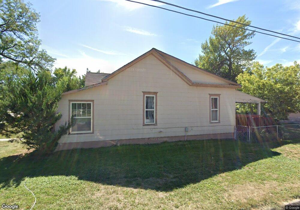
321 W 6th St Alliance, NE 69301
Estimated Value: $89,000
2
Beds
1
Bath
1,896
Sq Ft
$47/Sq Ft
Est. Value
About This Home
This home is located at 321 W 6th St, Alliance, NE 69301 and is currently priced at $89,000, approximately $46 per square foot. 321 W 6th St is a home located in Box Butte County with nearby schools including Alliance High School, St. Agnes Academy, and Immanuel Evangelical Lutheran School.
Ownership History
Date
Name
Owned For
Owner Type
Purchase Details
Closed on
May 26, 2016
Sold by
Jon Worthman
Bought by
Knapp Ray A and Knapp Alice J
Current Estimated Value
Purchase Details
Closed on
Oct 8, 2013
Sold by
Jon Jon
Bought by
Knapp Ray A and Knapp Alice J
Purchase Details
Closed on
Apr 7, 2011
Sold by
Bickford David M
Bought by
Broderick Matthew C and Broderick Amanda
Create a Home Valuation Report for This Property
The Home Valuation Report is an in-depth analysis detailing your home's value as well as a comparison with similar homes in the area
Home Values in the Area
Average Home Value in this Area
Purchase History
| Date | Buyer | Sale Price | Title Company |
|---|---|---|---|
| Knapp Ray A | -- | -- | |
| Knapp Ray A | -- | -- | |
| Broderick Matthew C | -- | -- | |
| Hernandez Ceaser | -- | -- | |
| Broderick Matthew C | -- | -- |
Source: Public Records
Tax History Compared to Growth
Tax History
| Year | Tax Paid | Tax Assessment Tax Assessment Total Assessment is a certain percentage of the fair market value that is determined by local assessors to be the total taxable value of land and additions on the property. | Land | Improvement |
|---|---|---|---|---|
| 2024 | -- | $6,300 | $6,300 | $0 |
| 2023 | $0 | $27,340 | $6,300 | $21,040 |
| 2022 | $435 | $23,910 | $5,950 | $17,960 |
| 2021 | $441 | $23,910 | $5,950 | $17,960 |
| 2020 | $440 | $23,910 | $5,950 | $17,960 |
| 2019 | $429 | $23,910 | $5,950 | $17,960 |
| 2018 | $427 | $23,910 | $5,950 | $17,960 |
| 2017 | $159 | $8,552 | $4,550 | $4,002 |
| 2016 | $157 | $8,552 | $4,550 | $4,002 |
| 2015 | $223 | $8,325 | $4,550 | $3,775 |
| 2014 | $223 | $8,325 | $4,550 | $3,775 |
Source: Public Records
Map
Nearby Homes
- 420 Laramie Ave
- 719 Toluca Ave
- 621 Emerson Ave
- 316 Big Horn Ave
- 907 Toluca Ave
- 904 Laramie Ave
- 924 Big Horn Ave
- 911 Emerson Ave
- 819 Black Hills Ave
- 615 Sweetwater Ave
- 1019 Laramie Ave
- 936 Platte Ave
- 1239 Toluca Ave
- 1021 Dakota Ave
- 917 Missouri Ave
- 613 Mississippi Ave
- 1004 Missouri Ave
- 667 E 9th St
- 719 E 8th St
- 620 Hudson Ave
- 519 Big Horn Ave
- 515 Big Horn Ave
- 601 Big Horn Ave
- 511 Big Horn Ave
- 524 Cheyenne Ave
- 605 Big Horn Ave
- 520 Cheyenne Ave
- 514 Cheyenne Ave
- 606 Cheyenne Ave
- 611 Big Horn Ave
- 522 Big Horn Ave
- 510 Cheyenne Ave
- 520 Big Horn Ave
- 516 Big Horn Ave
- 324 W 5th St
- 604 Big Horn Ave
- 316 W 5th St
- 615 Big Horn Ave
- 612 Cheyenne Ave
- 512 Big Horn Ave