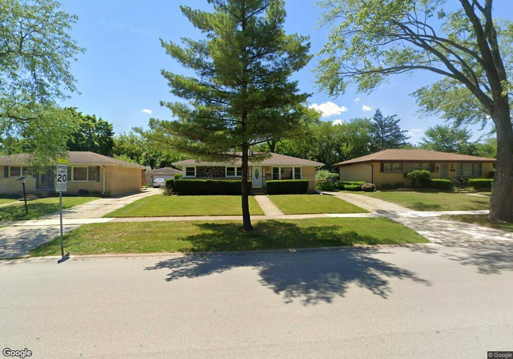
321 W Byron Ave Addison, IL 60101
Estimated Value: $274,015 - $357,000
Studio
--
Bath
1,029
Sq Ft
$315/Sq Ft
Est. Value
About This Home
This home is located at 321 W Byron Ave, Addison, IL 60101 and is currently estimated at $324,004, approximately $314 per square foot. 321 W Byron Ave is a home located in DuPage County with nearby schools including Lincoln Elementary School, Indian Trail Jr High School, and Addison Trail High School.
Ownership History
Date
Name
Owned For
Owner Type
Purchase Details
Closed on
Nov 29, 1996
Sold by
Mandarino Michael A and Mandarino Karen L
Bought by
Burde Kathleen L
Current Estimated Value
Home Financials for this Owner
Home Financials are based on the most recent Mortgage that was taken out on this home.
Original Mortgage
$117,600
Outstanding Balance
$12,181
Interest Rate
7.91%
Estimated Equity
$311,823
Create a Home Valuation Report for This Property
The Home Valuation Report is an in-depth analysis detailing your home's value as well as a comparison with similar homes in the area
Home Values in the Area
Average Home Value in this Area
Purchase History
| Date | Buyer | Sale Price | Title Company |
|---|---|---|---|
| Burde Kathleen L | $147,000 | Land Title Group Inc |
Source: Public Records
Mortgage History
| Date | Status | Borrower | Loan Amount |
|---|---|---|---|
| Open | Burde Kathleen L | $117,600 |
Source: Public Records
Tax History
| Year | Tax Paid | Tax Assessment Tax Assessment Total Assessment is a certain percentage of the fair market value that is determined by local assessors to be the total taxable value of land and additions on the property. | Land | Improvement |
|---|---|---|---|---|
| 2024 | $5,278 | $90,886 | $41,141 | $49,745 |
| 2023 | $4,973 | $83,550 | $37,820 | $45,730 |
| 2022 | $5,180 | $76,330 | $34,530 | $41,800 |
| 2021 | $4,957 | $73,110 | $33,070 | $40,040 |
| 2020 | $4,816 | $70,030 | $31,680 | $38,350 |
| 2019 | $4,776 | $67,330 | $30,460 | $36,870 |
| 2018 | $4,715 | $64,080 | $28,990 | $35,090 |
| 2017 | $4,586 | $61,250 | $27,710 | $33,540 |
| 2016 | $4,449 | $56,550 | $25,580 | $30,970 |
| 2015 | $4,323 | $52,240 | $23,630 | $28,610 |
| 2014 | $4,845 | $51,490 | $21,660 | $29,830 |
| 2013 | $4,738 | $52,540 | $22,100 | $30,440 |
Source: Public Records
Map
Nearby Homes
- 138 W Janice Ln
- 451 W Linda Ln
- 539 W Eggerding Dr
- 981 N Mill Rd Unit 1
- 465 W Dominion Dr Unit 1001
- 734 N Briar Hill Ln Unit 3
- 720 N Briar Hill Ln Unit 5
- 730 N Briar Hill Ln Unit 1
- 724 N Briar Hill Ln Unit 3
- 649 N Briar Hill Ln Unit 3
- 543 N Chestnut St
- 235 N Mill Rd Unit 115B
- 245 N Mill Rd Unit 9C
- 387 Masters Dr
- 330 Masters Dr
- 4N163 5th Ave
- 427 W Natoma Ave
- 474 Elizabeth Dr Unit 17D
- 276 Masters Dr
- 257 Masters Dr
- 315 W Byron Ave Unit 10
- 327 W Byron Ave
- 309 W Byron Ave
- 800 N Lincoln St
- 333 W Byron Ave
- 748 N Lincoln Ave
- 801 N Sumner St
- 740 N Lincoln Ave
- 806 N Lincoln St
- 743 N Highview Ave
- 749 N Highview Ave
- 801 N Lincoln St
- 732 N Lincoln Ave Unit 14
- 807 N Sumner St
- 812 N Lincoln St
- 807 N Lincoln St
- 813 N Sumner St
- 813 N Lincoln St
- 816 N Lincoln St
- 735 N Highview Ave
Your Personal Tour Guide
Ask me questions while you tour the home.