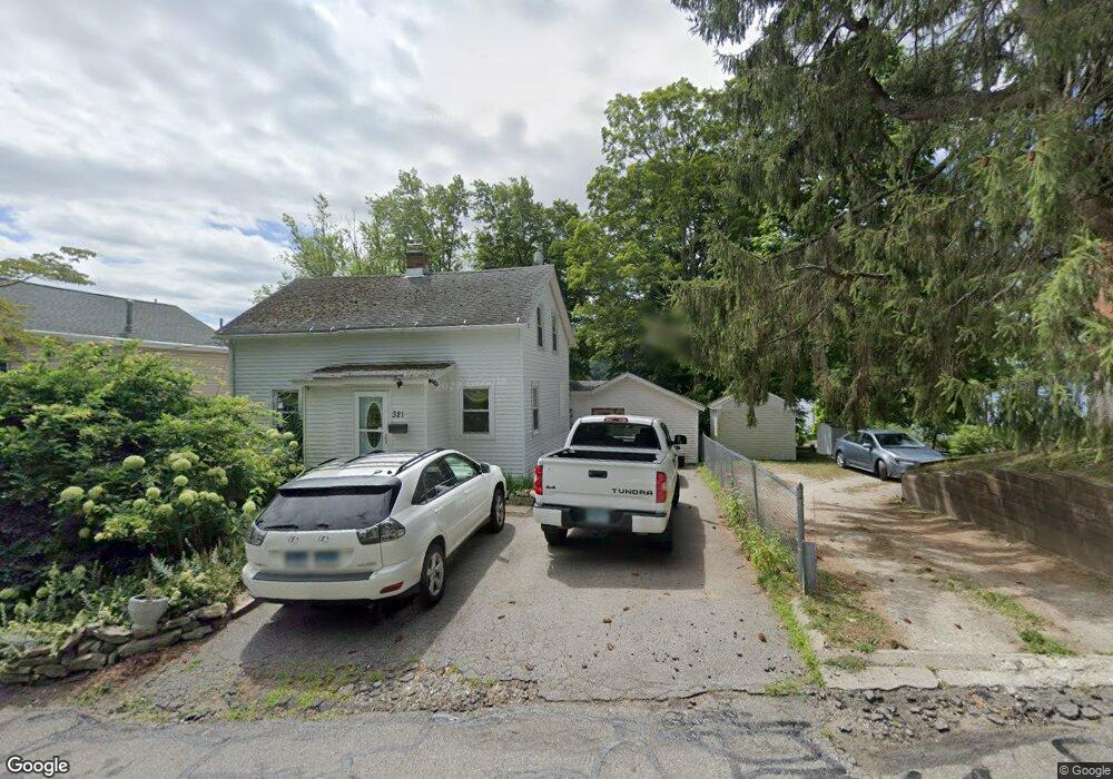
321 W Lake St Winsted, CT 06098
Estimated Value: $231,000 - $444,000
3
Beds
2
Baths
1,908
Sq Ft
$190/Sq Ft
Est. Value
About This Home
This home is located at 321 W Lake St, Winsted, CT 06098 and is currently estimated at $361,916, approximately $189 per square foot. 321 W Lake St is a home located in Litchfield County with nearby schools including Explorations Charter School, St Anthony School, and The Gilbert School.
Ownership History
Date
Name
Owned For
Owner Type
Purchase Details
Closed on
Jun 9, 2003
Sold by
Underwood Irene Syp and Syp Richard Jan
Bought by
Subklew Arthur H and Sanchez Maria E
Current Estimated Value
Create a Home Valuation Report for This Property
The Home Valuation Report is an in-depth analysis detailing your home's value as well as a comparison with similar homes in the area
Home Values in the Area
Average Home Value in this Area
Purchase History
| Date | Buyer | Sale Price | Title Company |
|---|---|---|---|
| Subklew Arthur H | $105,000 | -- | |
| Subklew Arthur H | $105,000 | -- |
Source: Public Records
Mortgage History
| Date | Status | Borrower | Loan Amount |
|---|---|---|---|
| Open | Subklew Arthur H | $149,300 | |
| Closed | Subklew Arthur H | $125,000 | |
| Closed | Subklew Arthur H | $75,000 |
Source: Public Records
Tax History Compared to Growth
Tax History
| Year | Tax Paid | Tax Assessment Tax Assessment Total Assessment is a certain percentage of the fair market value that is determined by local assessors to be the total taxable value of land and additions on the property. | Land | Improvement |
|---|---|---|---|---|
| 2025 | $6,024 | $206,500 | $93,450 | $113,050 |
| 2024 | $5,625 | $206,500 | $93,450 | $113,050 |
| 2023 | $5,450 | $206,500 | $93,450 | $113,050 |
| 2022 | $4,377 | $130,500 | $47,410 | $83,090 |
| 2021 | $4,377 | $130,500 | $47,410 | $83,090 |
| 2020 | $4,377 | $130,500 | $47,410 | $83,090 |
| 2019 | $4,377 | $130,500 | $47,410 | $83,090 |
| 2018 | $4,377 | $130,500 | $47,410 | $83,090 |
| 2017 | $3,971 | $118,410 | $40,640 | $77,770 |
| 2016 | $3,971 | $118,410 | $40,640 | $77,770 |
| 2015 | $3,872 | $118,410 | $40,640 | $77,770 |
| 2014 | $3,778 | $118,410 | $40,640 | $77,770 |
Source: Public Records
Map
Nearby Homes
- 317 W Lake St Unit 319
- 101 W Wakefield Blvd
- 327 W Lake St
- 304 W Lake St
- 139 W Wakefiedl
- 139 W Wakefield Blvd
- 139A W Wakefield Blvd
- 286 W Lake St
- 284 W Lake St
- 282 W Lake St
- 345 W Lake St
- 000 W Wakefield Blvd
- 330 W Lake St
- 331 W Lake St
- 59 Cook St Unit 4
- 59 Cook St Unit 2
- 59 Cook St Unit 6
- 59 Cook St Unit 1
- 59 Cook St Unit 7
- 59 Cook St Unit 8