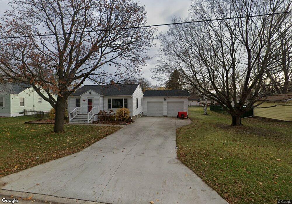
321 W Maple St Baraboo, WI 53913
Estimated Value: $183,000 - $265,000
2
Beds
1
Bath
700
Sq Ft
$297/Sq Ft
Est. Value
About This Home
This home is located at 321 W Maple St, Baraboo, WI 53913 and is currently estimated at $207,736, approximately $296 per square foot. 321 W Maple St is a home located in Sauk County with nearby schools including Baraboo High School, St. Joseph Catholic School, and St. John's Lutheran School.
Ownership History
Date
Name
Owned For
Owner Type
Purchase Details
Closed on
Jul 14, 2009
Sold by
Luebke Clara L and Luebke William J
Bought by
Roloff Raina K
Current Estimated Value
Home Financials for this Owner
Home Financials are based on the most recent Mortgage that was taken out on this home.
Original Mortgage
$92,690
Outstanding Balance
$65,221
Interest Rate
5.43%
Mortgage Type
USDA
Estimated Equity
$142,515
Create a Home Valuation Report for This Property
The Home Valuation Report is an in-depth analysis detailing your home's value as well as a comparison with similar homes in the area
Purchase History
| Date | Buyer | Sale Price | Title Company |
|---|---|---|---|
| Roloff Raina K | $92,700 | Wis Consin River Title Consu |
Source: Public Records
Mortgage History
| Date | Status | Borrower | Loan Amount |
|---|---|---|---|
| Open | Roloff Raina K | $92,690 |
Source: Public Records
Tax History
| Year | Tax Paid | Tax Assessment Tax Assessment Total Assessment is a certain percentage of the fair market value that is determined by local assessors to be the total taxable value of land and additions on the property. | Land | Improvement |
|---|---|---|---|---|
| 2025 | $2,276 | $113,600 | $38,100 | $75,500 |
| 2024 | $20 | $113,600 | $38,100 | $75,500 |
| 2023 | $2,026 | $113,600 | $38,100 | $75,500 |
| 2022 | $2,058 | $113,600 | $38,100 | $75,500 |
| 2021 | $1,898 | $110,600 | $38,100 | $72,500 |
| 2020 | $1,923 | $90,800 | $31,900 | $58,900 |
| 2019 | $2,167 | $90,800 | $31,900 | $58,900 |
| 2018 | $2,035 | $90,800 | $31,900 | $58,900 |
| 2017 | $2,008 | $90,800 | $31,900 | $58,900 |
| 2016 | $1,897 | $90,800 | $31,900 | $58,900 |
| 2015 | $1,961 | $90,500 | $31,900 | $58,600 |
| 2014 | $1,993 | $90,500 | $31,900 | $58,600 |
Source: Public Records
Map
Nearby Homes
- 674 W Mulberry St
- 831 Island Ct
- 1074 Tinkham Trail
- 801 Park St
- 430 Viola Ct
- 604 9th Ave
- E11086 Hatchery Rd
- 602 Eisenhower St
- 515 8th Ave
- E10919 Hatchery Rd
- 616 West St
- 415 2nd Ave
- 327 8th Ave
- 509 Ernstmeyer Dr
- 435 14th Ave
- 1735 Crawford St Unit 8
- S4362 Fox Hill Cir
- E11220 Birnam Woods Rd
- 809 Oak St
- 140 Ac U S 12
- 317 W Maple St
- 422 W Walnut St
- 318 Chestnut St
- 326 Chestnut St
- 401 Cedar St
- 413 Cedar St Unit 415
- 307 W Maple St
- 413/415 Cedar St
- 322 W Maple St
- 322 W Maple St
- 320 W Maple St
- 332 W Maple St
- 423 W Walnut St
- 318 W Maple St
- 404 Chestnut St
- 503 Cedar St
- 401 W Walnut St
- 323 Linn St
- 321 Linn St
- 315 Linn St
Your Personal Tour Guide
Ask me questions while you tour the home.