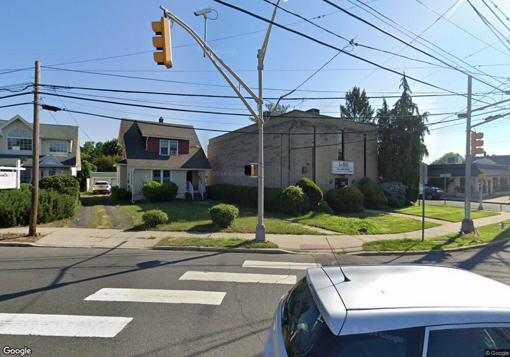
321 W Union Ave Bound Brook, NJ 08805
Estimated Value: $753,298
Studio
--
Bath
500
Sq Ft
$1,507/Sq Ft
Est. Value
About This Home
This home is located at 321 W Union Ave, Bound Brook, NJ 08805 and is currently estimated at $753,298, approximately $1,506 per square foot. 321 W Union Ave is a home located in Somerset County with nearby schools including LaMonte Annex Elementary School, Lafayette Elementary School, and Bound Brook High School.
Ownership History
Date
Name
Owned For
Owner Type
Purchase Details
Closed on
Mar 23, 2017
Sold by
Somerset County Education Association
Bought by
Rlg Realty 321 Llc
Current Estimated Value
Home Financials for this Owner
Home Financials are based on the most recent Mortgage that was taken out on this home.
Original Mortgage
$280,000
Outstanding Balance
$232,062
Interest Rate
4.15%
Mortgage Type
Commercial
Estimated Equity
$516,605
Purchase Details
Closed on
May 27, 1993
Sold by
P A M Associates
Bought by
Somerset County Education Assoc
Create a Home Valuation Report for This Property
The Home Valuation Report is an in-depth analysis detailing your home's value as well as a comparison with similar homes in the area
Home Values in the Area
Average Home Value in this Area
Purchase History
We collect this data history from publicly available records. To have your information removed, we recommend requesting removal directly through your county’s website.
| Date | Buyer | Sale Price | Title Company |
|---|---|---|---|
| Rlg Realty 321 Llc | $350,000 | Prestige Title Agency Inc | |
| Somerset County Education Assoc | $275,000 | -- |
Source: Public Records
Mortgage History
We collect this data history from publicly available records. To have your information removed, we recommend requesting removal directly through your county’s website.
| Date | Status | Borrower | Loan Amount |
|---|---|---|---|
| Open | Rlg Realty 321 Llc | $280,000 |
Source: Public Records
Tax History
| Year | Tax Paid | Tax Assessment Tax Assessment Total Assessment is a certain percentage of the fair market value that is determined by local assessors to be the total taxable value of land and additions on the property. | Land | Improvement |
|---|---|---|---|---|
| 2025 | $10,619 | $503,000 | $336,000 | $167,000 |
| 2024 | $10,619 | $468,000 | $321,000 | $147,000 |
| 2023 | $10,210 | $433,000 | $291,000 | $142,000 |
| 2022 | $9,778 | $393,000 | $271,000 | $122,000 |
| 2021 | $11,362 | $343,000 | $251,000 | $92,000 |
| 2020 | $11,144 | $361,000 | $236,000 | $125,000 |
| 2019 | $11,362 | $351,000 | $236,000 | $115,000 |
| 2018 | $11,702 | $351,000 | $236,000 | $115,000 |
| 2017 | $12,314 | $361,000 | $236,000 | $125,000 |
| 2016 | $13,239 | $391,000 | $236,000 | $155,000 |
| 2015 | $14,913 | $450,400 | $236,000 | $214,400 |
| 2014 | $12,012 | $350,400 | $136,000 | $214,400 |
Source: Public Records
Map
Nearby Homes
- 553 Marion St
- 561 Marion St
- 317 Livingston St
- 153 W Union Ave
- 617 Vosseller Ave
- 31 Romney Rd
- 27-29 Fisher Ave
- 280 Metape Cir S
- 520 Winsor St
- 17 Fisher Ave
- 551 Winsor St
- 28 W Union Ave
- 125 Linden Ave
- 430 Talmadge Ave
- 308 Church St
- 432 Talmage Ave
- 3 E High St
- 11 E Union Ave
- 261 W Main St
- 17 Talmage Ave
- 321 W Union Ave Unit 100
- 325 W Union Ave
- 425 Carleton St
- 408 Vosseller Ave Unit A
- 429 Carleton St
- 426 Carleton St
- 307 W Union Ave Unit 307
- 428 Carleton St
- 326 W Maple Ave
- 330 W Maple Ave
- 334 W Maple Ave
- 420 Vosseller Ave
- 338 W Maple Ave
- 427 Washington St
- 314 W Maple Ave
- 315 Longwood Ave Unit 2
- 315 Longwood Ave Unit 1
- 315 Longwood Ave
- 342 W Maple Ave
- 429 Washington St
Your Personal Tour Guide
Ask me questions while you tour the home.