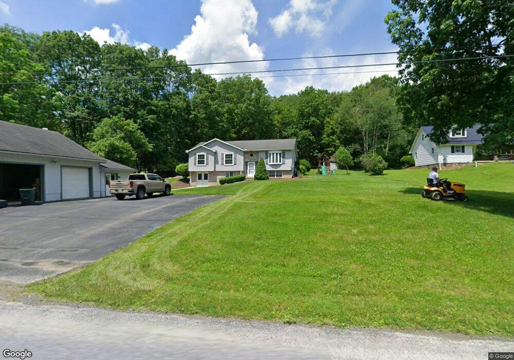
321 Whetstone Rd Brockport, PA 15823
Estimated Value: $193,530 - $291,000
3
Beds
2
Baths
--
Sq Ft
0.65
Acres
About This Home
This home is located at 321 Whetstone Rd, Brockport, PA 15823 and is currently estimated at $229,883. 321 Whetstone Rd is a home located in Elk County with nearby schools including Brockway Area Elementary School, Brockway Area Junior/Senior High School, and Hillside School.
Ownership History
Date
Name
Owned For
Owner Type
Purchase Details
Closed on
Aug 12, 2015
Sold by
Romain Patricia
Bought by
Sitosky Michael J and Palmer Ashley A
Current Estimated Value
Home Financials for this Owner
Home Financials are based on the most recent Mortgage that was taken out on this home.
Original Mortgage
$143,000
Outstanding Balance
$112,698
Interest Rate
4.09%
Mortgage Type
New Conventional
Estimated Equity
$117,185
Create a Home Valuation Report for This Property
The Home Valuation Report is an in-depth analysis detailing your home's value as well as a comparison with similar homes in the area
Home Values in the Area
Average Home Value in this Area
Purchase History
| Date | Buyer | Sale Price | Title Company |
|---|---|---|---|
| Sitosky Michael J | $160,000 | None Available |
Source: Public Records
Mortgage History
| Date | Status | Borrower | Loan Amount |
|---|---|---|---|
| Open | Sitosky Michael J | $143,000 |
Source: Public Records
Tax History Compared to Growth
Tax History
| Year | Tax Paid | Tax Assessment Tax Assessment Total Assessment is a certain percentage of the fair market value that is determined by local assessors to be the total taxable value of land and additions on the property. | Land | Improvement |
|---|---|---|---|---|
| 2025 | $1,800 | $35,100 | $1,500 | $33,600 |
| 2024 | $1,800 | $35,100 | $1,500 | $33,600 |
| 2023 | $1,738 | $35,100 | $1,500 | $33,600 |
| 2022 | $1,726 | $35,100 | $1,500 | $33,600 |
| 2021 | $1,696 | $35,100 | $1,500 | $33,600 |
| 2020 | $1,696 | $35,100 | $1,500 | $33,600 |
| 2019 | $1,635 | $35,100 | $1,500 | $33,600 |
| 2018 | $1,590 | $35,100 | $1,500 | $33,600 |
| 2017 | $1,542 | $35,100 | $1,500 | $33,600 |
| 2016 | $1,346 | $35,100 | $1,500 | $33,600 |
| 2015 | -- | $35,100 | $1,500 | $33,600 |
| 2013 | -- | $35,100 | $1,500 | $33,600 |
Source: Public Records
Map
Nearby Homes
- 101 Howard Rd
- 3323 Mount Daniels Rd
- 425 Zuccolotto Ln
- 47 Caruso Rd
- 1083 Rattlesnake Rd
- 924 Elm St
- 1549 Main St
- 0 U S 219
- 7956 U S 219
- 1074 10th Ave
- 0 Cap Haitien Rd Unit SEC 17 LOT 14
- 601 Sandbank Rd
- 970 Baghdad Rd
- 598 Sandbank Rd
- 537 Lynyard Ln Bonefish Rd
- Section 19 Lot 181 Dolphin Head Rd
- 181 Dolphin Head Rd
- 129 Dolphin Head Rd
- 744 Dolphin Head Rd Unit 19 83 & 84
- 266 South St
- 345 Whetstone Rd
- 287 Whetstone Rd
- 387 Whetstone Rd
- 237 Whetstone Rd
- 425 Whetstone Rd
- 453 Whetstone Rd
- 464 Whetstone Rd
- 147 Whetstone Rd
- 190 Whetstone Rd
- 511 Whetstone Rd
- 740 Keystone Rd
- 527 Whetstone Rd
- 553 Whetstone Rd
- 790 Keystone Rd
- 564 Whetstone Rd
- 731 Keystone Rd
- 575 Whetstone Rd
- 789 Keystone Rd
- 43 Whetstone Rd
- 616 Whetstone Rd