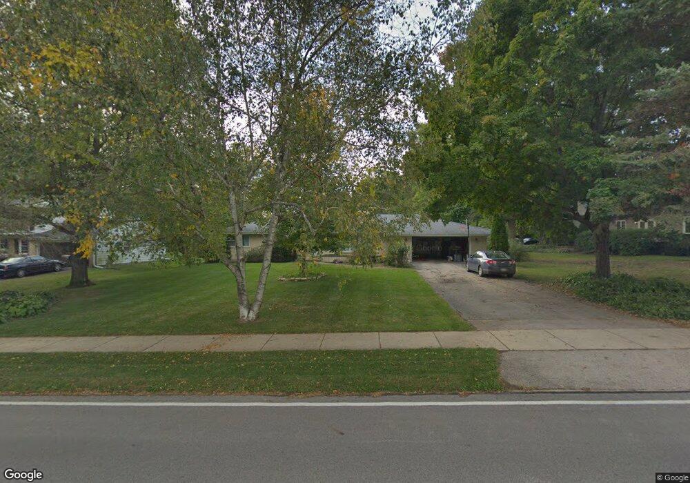
321 Woodland Hills Rd Batavia, IL 60510
Woodland Hills NeighborhoodEstimated Value: $433,996 - $504,000
3
Beds
--
Bath
2,162
Sq Ft
$220/Sq Ft
Est. Value
About This Home
This home is located at 321 Woodland Hills Rd, Batavia, IL 60510 and is currently estimated at $475,999, approximately $220 per square foot. 321 Woodland Hills Rd is a home located in Kane County with nearby schools including J B Nelson Elementary School, Sam Rotolo Middle School, and Batavia Sr High School.
Ownership History
Date
Name
Owned For
Owner Type
Purchase Details
Closed on
Mar 10, 2000
Sold by
Hauman Richard W and Deahl Julia
Bought by
Tisdale Michael A and Tisdale Nancy C
Current Estimated Value
Home Financials for this Owner
Home Financials are based on the most recent Mortgage that was taken out on this home.
Original Mortgage
$147,000
Outstanding Balance
$49,820
Interest Rate
8.29%
Estimated Equity
$426,179
Create a Home Valuation Report for This Property
The Home Valuation Report is an in-depth analysis detailing your home's value as well as a comparison with similar homes in the area
Home Values in the Area
Average Home Value in this Area
Purchase History
| Date | Buyer | Sale Price | Title Company |
|---|---|---|---|
| Tisdale Michael A | $217,500 | Chicago Title Insurance Co |
Source: Public Records
Mortgage History
| Date | Status | Borrower | Loan Amount |
|---|---|---|---|
| Open | Tisdale Michael A | $147,000 |
Source: Public Records
Tax History Compared to Growth
Tax History
| Year | Tax Paid | Tax Assessment Tax Assessment Total Assessment is a certain percentage of the fair market value that is determined by local assessors to be the total taxable value of land and additions on the property. | Land | Improvement |
|---|---|---|---|---|
| 2024 | $9,895 | $141,148 | $23,640 | $117,508 |
| 2023 | $10,993 | $128,107 | $21,456 | $106,651 |
| 2022 | $9,557 | $109,446 | $20,052 | $89,394 |
| 2021 | $9,201 | $103,799 | $19,017 | $84,782 |
| 2020 | $8,984 | $101,803 | $18,651 | $83,152 |
| 2019 | $8,856 | $98,199 | $17,991 | $80,208 |
| 2018 | $8,523 | $94,459 | $17,306 | $77,153 |
| 2017 | $8,334 | $91,344 | $16,735 | $74,609 |
| 2016 | $8,172 | $88,684 | $16,248 | $72,436 |
| 2015 | -- | $86,665 | $15,878 | $70,787 |
| 2014 | -- | $83,937 | $15,378 | $68,559 |
| 2013 | -- | $86,552 | $19,331 | $67,221 |
Source: Public Records
Map
Nearby Homes
- 1267 Foxglove Dr
- 1273 Foxglove Dr
- 1277 Foxglove Dr
- 1283 Foxglove Dr
- 1285 Foxglove Dr
- 133 Mayflower Dr
- 1384 Foxglove Dr
- 4 Mayflower Dr
- 817 Woodland Hills Rd
- 1025 E Wilson St
- 1136 Pine Ct
- Lot 1 Center St
- 943 Orchard Ct
- 1017 Willow Ln Unit 2
- 637 E Wilson St
- 621 Young Ave
- 428 E Wilson St
- 1332 Giese Rd Unit 2
- 129 S Prairie St
- 323 Church St
- 331 Woodland Hills Rd
- 306 Meadowrue Ln
- 346 Meadowrue Ln
- 341 Woodland Hills Rd
- 330 Woodland Hills Rd
- 320 Woodland Hills Rd
- 356 Meadowrue Ln
- 1306 Meadowrue Ln
- 313 Meadowrue Ln
- 342 Woodland Hills Rd
- 323 Meadowrue Ln
- 351 Woodland Hills Rd
- 303 Meadowrue Ln
- 366 Meadowrue Ln
- 333 Meadowrue Ln
- 1313 Bluebell Ln
- 380 Meadowrue Ln
- 343 Meadowrue Ln
- 358 Woodland Hills Rd
- 1322 Meadowrue Ln