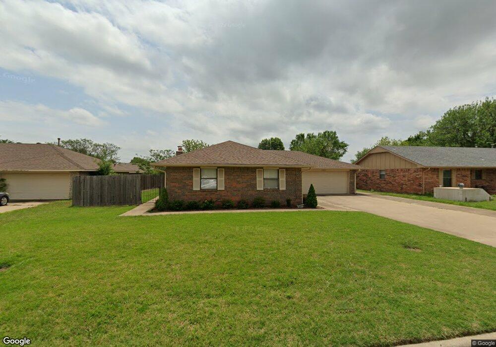
3210 Lansbrook Ct Duncan, OK 73533
Estimated Value: $152,851 - $170,000
3
Beds
2
Baths
1,348
Sq Ft
$119/Sq Ft
Est. Value
About This Home
This home is located at 3210 Lansbrook Ct, Duncan, OK 73533 and is currently estimated at $160,963, approximately $119 per square foot. 3210 Lansbrook Ct is a home located in Stephens County with nearby schools including Horace Mann Elementary School, Duncan Middle School, and Duncan High School.
Ownership History
Date
Name
Owned For
Owner Type
Purchase Details
Closed on
Mar 26, 2024
Sold by
Mccann Leah D
Bought by
Leah Dawn Mccann Revocable Living Trust and Mccann
Current Estimated Value
Purchase Details
Closed on
Dec 20, 2004
Sold by
Wilkerson Michael and Wilkerson Oree
Bought by
Mccann Leah D
Purchase Details
Closed on
Jul 12, 2002
Sold by
Barker Brandon Paul
Purchase Details
Closed on
Nov 19, 1998
Sold by
Stough Charles P
Purchase Details
Closed on
Jun 10, 1996
Sold by
Lynch David L
Create a Home Valuation Report for This Property
The Home Valuation Report is an in-depth analysis detailing your home's value as well as a comparison with similar homes in the area
Purchase History
| Date | Buyer | Sale Price | Title Company |
|---|---|---|---|
| Leah Dawn Mccann Revocable Living Trust | -- | None Listed On Document | |
| Mccann Leah D | $90,000 | -- | |
| -- | $63,000 | -- | |
| -- | $62,500 | -- | |
| -- | $64,500 | -- |
Source: Public Records
Tax History
| Year | Tax Paid | Tax Assessment Tax Assessment Total Assessment is a certain percentage of the fair market value that is determined by local assessors to be the total taxable value of land and additions on the property. | Land | Improvement |
|---|---|---|---|---|
| 2025 | $1,010 | $12,970 | $1,288 | $11,682 |
| 2024 | $956 | $12,227 | $1,288 | $10,939 |
| 2023 | $956 | $12,226 | $1,288 | $10,938 |
| 2022 | $895 | $11,870 | $1,288 | $10,582 |
| 2021 | $867 | $11,189 | $1,288 | $9,901 |
| 2020 | $938 | $11,862 | $1,288 | $10,574 |
| 2019 | $910 | $11,516 | $1,288 | $10,228 |
| 2018 | $926 | $11,516 | $1,288 | $10,228 |
| 2017 | $865 | $11,401 | $1,288 | $10,113 |
| 2016 | $828 | $10,746 | $1,288 | $9,458 |
| 2015 | $793 | $10,433 | $1,288 | $9,145 |
| 2014 | $793 | $10,129 | $1,288 | $8,841 |
Source: Public Records
Map
Nearby Homes
- 1377 Drexal Place
- 3450 W Elk Ave
- 0 W Beech Ave
- 903 N Harville Rd
- 261 N 29th St
- 507 N Alice Dr
- 262 N 29th St
- NO ADDRESS W Elk Ave
- 2210 Western Dr
- 2086 N 44th St
- 2610 Virginia St
- 209 N 22nd St
- 2002 Redbud Ave
- 2202 Canary Ave
- 1309 Whisenant Ct
- 2012 W Randall Ave
- 2202 Flamingo Ln
- 2407 W Mallard Dr
- 1909 W Spruce Ave
- 2120 Flamingo Ln
- 3214 Lansbrook Ct
- 3206 Lansbrook Ct
- 3209 Glenwood Ct
- 3218 Lansbrook Ct
- 3205 Glenwood Ct
- 3213 Glenwood Ct
- 3202 Lansbrook Ct
- 3209 Lansbrook Ct
- 3217 Glenwood Ct
- 3213 Lansbrook Ct
- 3222 Lansbrook Ct
- 3205 Lansbrook Ct
- 3201 Glenwood Ct
- 3205 3205 Lansbrook Ct
- 3217 Lansbrook Ct
- 3201 Lansbrook Ct
- 3221 Glenwood Ct
- 3221 Lansbrook Ct
- 3450 Glenwood Ct
- 3210 Glenwood Ct
Your Personal Tour Guide
Ask me questions while you tour the home.