3210 Maple Ave NE Millersport, OH 43046
Estimated Value: $579,452 - $936,000
3
Beds
2
Baths
1,704
Sq Ft
$436/Sq Ft
Est. Value
About This Home
This home is located at 3210 Maple Ave NE, Millersport, OH 43046 and is currently estimated at $742,484, approximately $435 per square foot. 3210 Maple Ave NE is a home located in Fairfield County with nearby schools including Millersport Elementary School and Millersport Jr/Sr High School.
Ownership History
Date
Name
Owned For
Owner Type
Purchase Details
Closed on
Feb 11, 2010
Sold by
Stein Jeffrey D and Stein Diane L
Bought by
Stein Jeffrey D and Stein Diane L
Current Estimated Value
Purchase Details
Closed on
Aug 3, 2007
Sold by
Kremer Delma Rae
Bought by
Stein Jeffrey D and Stein Diane L
Home Financials for this Owner
Home Financials are based on the most recent Mortgage that was taken out on this home.
Original Mortgage
$269,200
Outstanding Balance
$171,400
Interest Rate
6.77%
Mortgage Type
Purchase Money Mortgage
Estimated Equity
$571,084
Purchase Details
Closed on
Jan 14, 1993
Sold by
Kremer William H
Bought by
Kremer Delma Rae
Create a Home Valuation Report for This Property
The Home Valuation Report is an in-depth analysis detailing your home's value as well as a comparison with similar homes in the area
Home Values in the Area
Average Home Value in this Area
Purchase History
| Date | Buyer | Sale Price | Title Company |
|---|---|---|---|
| Stein Jeffrey D | -- | None Available | |
| Stein Jeffrey D | $86,500 | Attorney | |
| Kremer Delma Rae | -- | -- |
Source: Public Records
Mortgage History
| Date | Status | Borrower | Loan Amount |
|---|---|---|---|
| Open | Stein Jeffrey D | $269,200 |
Source: Public Records
Tax History Compared to Growth
Tax History
| Year | Tax Paid | Tax Assessment Tax Assessment Total Assessment is a certain percentage of the fair market value that is determined by local assessors to be the total taxable value of land and additions on the property. | Land | Improvement |
|---|---|---|---|---|
| 2024 | $8,293 | $137,980 | $75,060 | $62,920 |
| 2023 | $5,571 | $137,980 | $75,060 | $62,920 |
| 2022 | $5,601 | $137,980 | $75,060 | $62,920 |
| 2021 | $4,750 | $105,370 | $62,550 | $42,820 |
| 2020 | $4,767 | $105,370 | $62,550 | $42,820 |
| 2019 | $4,768 | $105,370 | $62,550 | $42,820 |
| 2018 | $4,470 | $85,790 | $59,170 | $26,620 |
| 2017 | $4,470 | $89,380 | $59,170 | $30,210 |
| 2016 | $4,125 | $89,380 | $59,170 | $30,210 |
| 2015 | $4,129 | $88,020 | $59,170 | $28,850 |
| 2014 | $3,352 | $88,020 | $59,170 | $28,850 |
| 2013 | $3,352 | $88,020 | $59,170 | $28,850 |
Source: Public Records
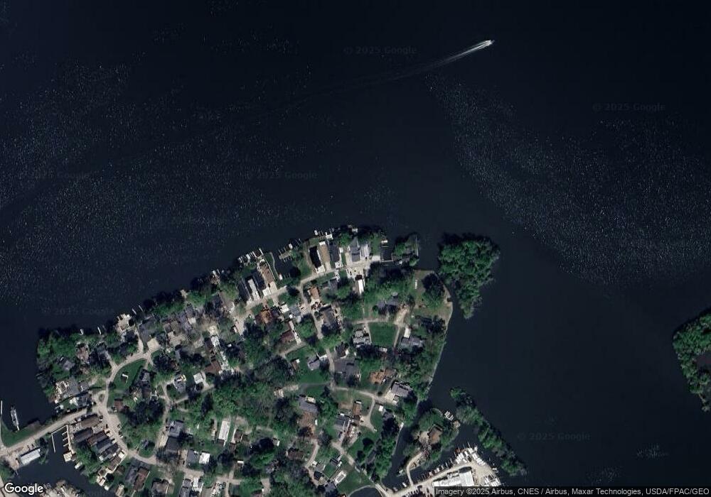
Map
Nearby Homes
- 12700 Onion Island NE
- 12946 W Bank Dr NE
- 12580 W Bank Dr NE
- 13180 W Bank Dr NE
- 12656 W Bank Dr NE
- 13244 W Bank Dr NE
- 3621 S Bank Rd NE
- 12291 Ohio Ave
- 13404 W Bank Dr NE
- 2486 Mallard Point Ln
- 12055 7th Ave
- 13474 W Bank Dr NE
- 3317 S Bank Rd NE
- 3333 S Bank Rd NE
- 2592 Summit St
- 3427 S Bank Rd NE
- 2582 E Park St
- 3308 Shepard Ave
- 13556 Richards St NE
- 2595 Canal Dr
- 3218 Maple Ave NE
- 3202 Maple Ave NE
- 3194 Maple Ave NE
- 3184 Maple Ave NE
- 3191 Maple Ave NE
- 3232 Maple Ave NE
- 3232 Maple Ave NE
- 3183 Maple Ave NE
- 3230 Cottonwood Ct NE
- 3230 Cottonwood Ct NE
- 3222 Cottonwood Ct NE
- 3167 Maple Ave NE
- 3190 Cottonwood Ct NE
- 12678 Greenlawn Ave NE
- 3151 Maple Ave NE
- 3136 Maple Ave NE
- 3141 Maple Ave NE
- 12677 Greenlawn Ave NE
- 3203 Cottonwood Ct NE
- 3238 Cottonwood Ct NE