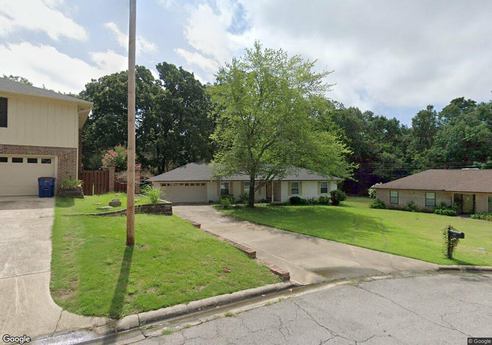
3211 S 33rd Ct Fort Smith, AR 72903
Estimated Value: $214,225 - $252,000
--
Bed
2
Baths
1,797
Sq Ft
$132/Sq Ft
Est. Value
About This Home
This home is located at 3211 S 33rd Ct, Fort Smith, AR 72903 and is currently estimated at $237,056, approximately $131 per square foot. 3211 S 33rd Ct is a home located in Sebastian County with nearby schools including Fairview Elementary School, Ramsey Junior High School, and Southside High School.
Ownership History
Date
Name
Owned For
Owner Type
Purchase Details
Closed on
Aug 17, 2009
Sold by
Mendenhall Schriver Lynn S
Bought by
Robinson David W and Robinson Jonni S
Current Estimated Value
Purchase Details
Closed on
Jan 24, 2006
Sold by
Mendenhall David L
Bought by
Mendenhall Lynn S
Purchase Details
Closed on
Apr 7, 2005
Sold by
Jones Sandra D
Bought by
Mendenhall David L and Mendenhall Lynn S
Home Financials for this Owner
Home Financials are based on the most recent Mortgage that was taken out on this home.
Original Mortgage
$94,000
Interest Rate
5.75%
Mortgage Type
New Conventional
Purchase Details
Closed on
Aug 21, 1990
Bought by
Jones Sandra D
Purchase Details
Closed on
Nov 13, 1984
Bought by
Vannostrand Lowell C and Vannostrand Patsy
Purchase Details
Closed on
Nov 14, 1977
Bought by
Stumbaugh Ronald L and Stumbaugh Deborah
Create a Home Valuation Report for This Property
The Home Valuation Report is an in-depth analysis detailing your home's value as well as a comparison with similar homes in the area
Home Values in the Area
Average Home Value in this Area
Purchase History
| Date | Buyer | Sale Price | Title Company |
|---|---|---|---|
| Robinson David W | $133,000 | Guaranty Abstract | |
| Mendenhall Lynn S | -- | None Available | |
| Mendenhall David L | $124,000 | None Available | |
| Jones Sandra D | $70,000 | -- | |
| Vannostrand Lowell C | -- | -- | |
| Stumbaugh Ronald L | -- | -- |
Source: Public Records
Mortgage History
| Date | Status | Borrower | Loan Amount |
|---|---|---|---|
| Previous Owner | Mendenhall David L | $94,000 |
Source: Public Records
Tax History Compared to Growth
Tax History
| Year | Tax Paid | Tax Assessment Tax Assessment Total Assessment is a certain percentage of the fair market value that is determined by local assessors to be the total taxable value of land and additions on the property. | Land | Improvement |
|---|---|---|---|---|
| 2024 | $1,477 | $30,730 | $7,500 | $23,230 |
| 2023 | $1,208 | $30,730 | $7,500 | $23,230 |
| 2022 | $1,258 | $30,730 | $7,500 | $23,230 |
| 2021 | $1,258 | $30,730 | $7,500 | $23,230 |
| 2020 | $1,258 | $30,730 | $7,500 | $23,230 |
| 2019 | $1,180 | $26,790 | $5,000 | $21,790 |
| 2018 | $1,205 | $26,790 | $5,000 | $21,790 |
| 2017 | $1,056 | $26,790 | $5,000 | $21,790 |
| 2016 | $1,329 | $26,790 | $5,000 | $21,790 |
| 2015 | $1,329 | $26,790 | $5,000 | $21,790 |
| 2014 | -- | $24,110 | $5,000 | $19,110 |
Source: Public Records
Map
Nearby Homes
- 3422 Fresno St
- 3315 Independence St
- 3415 S 32nd St
- 3205 Independence St
- 5222 S 31st St
- 3405 S 29th Cir
- 2925 Gary St Unit 12
- 2929 Gary St Unit 14
- 2906 S Carthage St
- 3000 Independence St
- 3725 Hendricks Cir
- 2808 May Branch Point
- 2715 Dallas St
- 3820 Dallas St
- 3900 Fresno St
- 3823 Dallas St
- 3009 Hendricks Blvd
- 70 Haven Dr
- 2601 Dallas St
- 3511 Cliff Dr