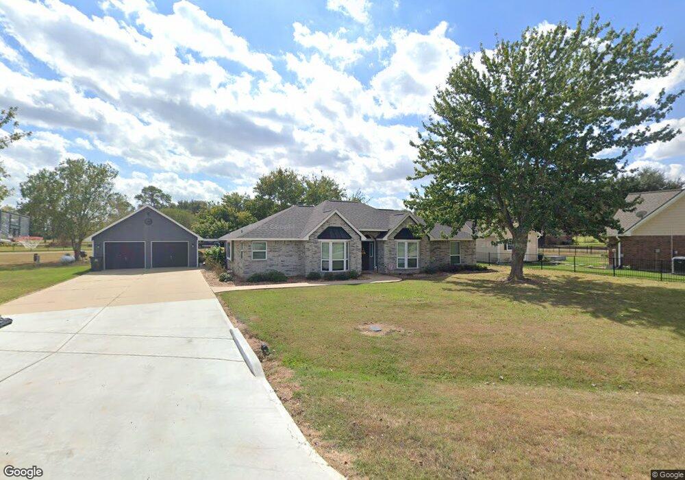
32115 Bunker Ln Waller, TX 77484
Estimated Value: $378,037 - $422,000
3
Beds
3
Baths
1,993
Sq Ft
$201/Sq Ft
Est. Value
About This Home
This home is located at 32115 Bunker Ln, Waller, TX 77484 and is currently estimated at $400,009, approximately $200 per square foot. 32115 Bunker Ln is a home located in Waller County with nearby schools including Waller Junior High School and Waller High School.
Ownership History
Date
Name
Owned For
Owner Type
Purchase Details
Closed on
Aug 12, 2013
Sold by
Snell Kenneth P and Snell Becky K
Bought by
Horton Justin and Horton Eva
Current Estimated Value
Home Financials for this Owner
Home Financials are based on the most recent Mortgage that was taken out on this home.
Original Mortgage
$123,750
Outstanding Balance
$91,844
Interest Rate
4.34%
Mortgage Type
New Conventional
Estimated Equity
$308,165
Create a Home Valuation Report for This Property
The Home Valuation Report is an in-depth analysis detailing your home's value as well as a comparison with similar homes in the area
Home Values in the Area
Average Home Value in this Area
Purchase History
| Date | Buyer | Sale Price | Title Company |
|---|---|---|---|
| Horton Justin | -- | Stewart Title Company |
Source: Public Records
Mortgage History
| Date | Status | Borrower | Loan Amount |
|---|---|---|---|
| Open | Horton Justin | $123,750 |
Source: Public Records
Tax History Compared to Growth
Tax History
| Year | Tax Paid | Tax Assessment Tax Assessment Total Assessment is a certain percentage of the fair market value that is determined by local assessors to be the total taxable value of land and additions on the property. | Land | Improvement |
|---|---|---|---|---|
| 2025 | $2,730 | $343,340 | $77,160 | $266,180 |
| 2024 | $2,730 | $346,630 | $77,160 | $269,470 |
| 2023 | $2,730 | $333,580 | $77,160 | $256,420 |
| 2022 | $3,537 | $313,247 | -- | -- |
| 2021 | $5,932 | $284,770 | $38,850 | $245,920 |
| 2020 | $5,660 | $279,300 | $38,590 | $240,710 |
| 2019 | $5,372 | $241,300 | $38,590 | $202,710 |
| 2018 | $4,948 | $229,420 | $38,590 | $190,830 |
| 2017 | $4,610 | $212,130 | $24,620 | $187,510 |
| 2016 | $4,637 | $213,380 | $23,950 | $189,430 |
| 2015 | $3,596 | $198,120 | $23,690 | $174,430 |
| 2014 | $3,596 | $182,510 | $21,960 | $160,550 |
Source: Public Records
Map
Nearby Homes
- 15408 Sandtrap
- 15388 Sandtrap Dr
- 15940 Kitty Hawk Dr
- 15610 Penick Rd
- 32226 Divot Dr
- 32231 Sandwedge Dr
- 16004 Penick Rd
- 32227 White Wing Dr
- 1024 Colibri Lake Ln
- 32956 Londonderry Dr
- 364 Rosalind Cir
- 360 Rosalind Cir
- 361 Rosalind Cir
- 31229 Rochen Rd
- 33369 Black Falcon Ct
- 32027 Meadow View Ln
- 17209 Fm 362 Rd
- 17207 Penick Rd
- 31423 Gayle Prairie Oaks St
- 31426 Gayle Prairie Oaks St
- 32114 Birdie Dr
- 32119 Bunker Ln
- Lot 70 Birdie
- 32115 Birdie Dr
- 32106 Bunker Ln
- 0 Bunker Ln
- Lot 67 Bunker Ln
- 32006 Birdie Ln
- 0 Birdie St
- 32033 Birdie Dr
- 32122 Bunker Ln
- 32103 Birdie St
- 15592 Sandtrap Dr
- 15619 Sandtrap Dr
- 32033 Birdie Dr Dr
- 15633 Sandtrap Dr
- 32076 Birdie Dr
- 15615 Sandtrap Dr
- 17069 Bridle Ct Unit Lot 9
- 17058 Bridle Ct