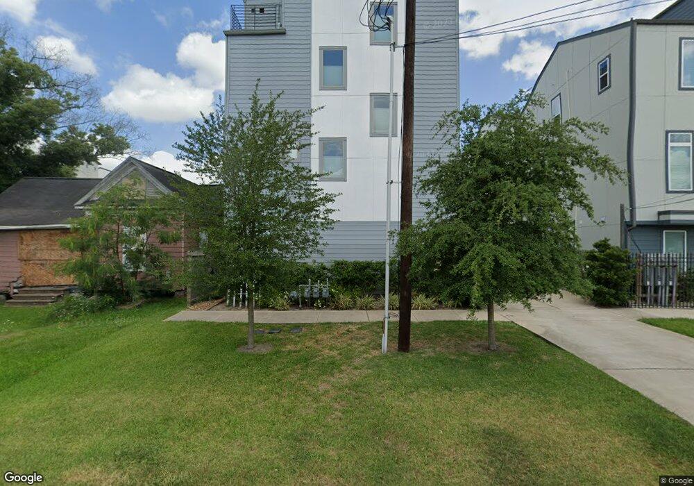
3212 Bastrop St Houston, TX 77004
Third Ward NeighborhoodEstimated Value: $413,607 - $485,000
3
Beds
4
Baths
2,150
Sq Ft
$215/Sq Ft
Est. Value
About This Home
This home is located at 3212 Bastrop St, Houston, TX 77004 and is currently estimated at $462,902, approximately $215 per square foot. 3212 Bastrop St is a home located in Harris County with nearby schools including Blackshear Elementary School, Cullen Middle School, and Yates High School.
Ownership History
Date
Name
Owned For
Owner Type
Purchase Details
Closed on
Jan 22, 2019
Sold by
Nsv On Bastrop 2018 Llc
Bought by
Clark Mark Wesley
Current Estimated Value
Home Financials for this Owner
Home Financials are based on the most recent Mortgage that was taken out on this home.
Original Mortgage
$389,000
Outstanding Balance
$342,010
Interest Rate
4.6%
Mortgage Type
VA
Estimated Equity
$120,892
Purchase Details
Closed on
Apr 26, 2017
Sold by
Archer Thornstenberg Mary Catherine
Bought by
New Skies Ventures Llc
Create a Home Valuation Report for This Property
The Home Valuation Report is an in-depth analysis detailing your home's value as well as a comparison with similar homes in the area
Home Values in the Area
Average Home Value in this Area
Purchase History
| Date | Buyer | Sale Price | Title Company |
|---|---|---|---|
| Clark Mark Wesley | -- | Old Republic National Title | |
| New Skies Ventures Llc | -- | Stewart Title |
Source: Public Records
Mortgage History
| Date | Status | Borrower | Loan Amount |
|---|---|---|---|
| Open | Clark Mark Wesley | $389,000 |
Source: Public Records
Tax History Compared to Growth
Tax History
| Year | Tax Paid | Tax Assessment Tax Assessment Total Assessment is a certain percentage of the fair market value that is determined by local assessors to be the total taxable value of land and additions on the property. | Land | Improvement |
|---|---|---|---|---|
| 2025 | $6,459 | $410,000 | $73,958 | $336,042 |
| 2024 | $6,459 | $437,000 | $73,958 | $363,042 |
| 2023 | $6,459 | $408,235 | $61,632 | $346,603 |
| 2022 | $9,275 | $400,308 | $61,632 | $338,676 |
| 2021 | $8,938 | $383,482 | $61,632 | $321,850 |
| 2020 | $9,502 | $374,579 | $61,632 | $312,947 |
| 2019 | $9,909 | $374,579 | $61,632 | $312,947 |
| 2018 | $1,628 | $61,632 | $61,632 | $0 |
| 2017 | $3,158 | $125,000 | $125,000 | $0 |
| 2016 | $3,161 | $125,000 | $125,000 | $0 |
| 2015 | $1,971 | $75,000 | $75,000 | $0 |
| 2014 | $1,971 | $76,661 | $75,000 | $1,661 |
Source: Public Records
Map
Nearby Homes
- 3217 Hutchins St
- 3208 Hutchins St
- 2123 Elgin St
- 3447 Francis St
- 3209 Saint Emanuel St Unit B
- 3201 Saint Emanuel St Unit A
- 3402 Emancipation Ave
- 3207 Rosalie St
- 2105 Holman St
- 3505 Hutchins St
- 2103 Holman St
- 2107 Holman St
- 2206 Holman St
- 3114 Anita St
- 3412 St Emanuel St
- 2213 Berry St
- 2106 Holman St Unit B
- 2028 Tuam St
- 2321 Tuam St
- 2109 Holman St
- 3212 Bastrop St Unit A
- 3214 Bastrop St
- 3216 Bastrop St
- 3216 Bastrop St Unit C
- 3218 Bastrop St
- 3210 Bastrop St
- 3210 Bastrop St Unit B
- 3210 Bastrop St Unit A
- 2205 Stuart St
- 2222 Stuart St
- 2214 Elgin St
- 3219 Hutchins St
- 2220 Stuart St
- 2218 Stuart St
- 3308 Bastrop St
- 3308 Bastrop St Unit B
- 3308 Bastrop St Unit A
- 2210 Stuart St
- 2214 Stuart St
- 2206 Stuart St