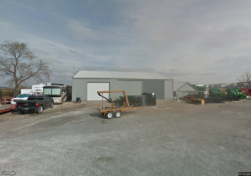
3212 New Town Blvd Saint Charles, MO 63301
New Town NeighborhoodEstimated Value: $484,384
3
Beds
2
Baths
2,092
Sq Ft
$232/Sq Ft
Est. Value
About This Home
This home is located at 3212 New Town Blvd, Saint Charles, MO 63301 and is currently estimated at $484,384, approximately $231 per square foot. 3212 New Town Blvd is a home located in St. Charles County with nearby schools including Discovery Elementary School, Orchard Farm Elementary School, and Orchard Farm Middle School.
Ownership History
Date
Name
Owned For
Owner Type
Purchase Details
Closed on
Apr 22, 2004
Sold by
Morgan John Lorenz
Bought by
J & S Commercial Properties Llc
Current Estimated Value
Home Financials for this Owner
Home Financials are based on the most recent Mortgage that was taken out on this home.
Original Mortgage
$220,000
Outstanding Balance
$101,793
Interest Rate
5.42%
Mortgage Type
Purchase Money Mortgage
Estimated Equity
$382,591
Purchase Details
Closed on
Dec 22, 1999
Sold by
J & S Commercial Properties Llc and Jansen Mark
Bought by
Morgan John Lorenz
Create a Home Valuation Report for This Property
The Home Valuation Report is an in-depth analysis detailing your home's value as well as a comparison with similar homes in the area
Home Values in the Area
Average Home Value in this Area
Purchase History
| Date | Buyer | Sale Price | Title Company |
|---|---|---|---|
| J & S Commercial Properties Llc | $220,000 | Ust | |
| Morgan John Lorenz | -- | -- |
Source: Public Records
Mortgage History
| Date | Status | Borrower | Loan Amount |
|---|---|---|---|
| Open | J & S Commercial Properties Llc | $220,000 |
Source: Public Records
Tax History Compared to Growth
Tax History
| Year | Tax Paid | Tax Assessment Tax Assessment Total Assessment is a certain percentage of the fair market value that is determined by local assessors to be the total taxable value of land and additions on the property. | Land | Improvement |
|---|---|---|---|---|
| 2025 | $3,489 | $49,938 | -- | -- |
| 2023 | $3,487 | $46,808 | $0 | $0 |
| 2022 | $3,194 | $41,240 | $0 | $0 |
| 2021 | $3,190 | $41,240 | $0 | $0 |
| 2020 | $3,102 | $40,185 | $0 | $0 |
| 2019 | $2,837 | $40,185 | $0 | $0 |
| 2018 | $1,410 | $20,793 | $0 | $0 |
| 2017 | $1,402 | $20,793 | $0 | $0 |
| 2016 | $1,292 | $19,458 | $0 | $0 |
| 2015 | $1,302 | $19,458 | $0 | $0 |
| 2014 | $1,229 | $17,950 | $0 | $0 |
Source: Public Records
Map
Nearby Homes
- 6045 New Town Dr
- 3214 Camp St
- 6124 New Town Dr
- 108 Canal Cottage Alley
- 3713 Arpent St
- 3709 Arpent St
- 4036 Hempstead St
- 345 Tiber Place
- 136 Tiber Way
- 177 Arpent St
- 120 Tiber Way
- 6178 Suntan Dr
- 3165 Canal St
- 210 Suntan Place
- 3225 Canal St
- 3610 Arpent St
- 3679 Hempstead St
- 3312 Canal St
- 3075 Pirogue St
- 3025 Memphis St
- 3657 Starkville St
- 3665 Starkville St
- 3653 Starkville St
- 3649 Starkville St
- 3645 Starkville St
- 3660 Starkville St
- 3641 Starkville St
- 3656 Starkville St
- 4001 Freehold Rock Dr
- 3637 Starkville St
- 16 Freehold Rock Place
- 3633 Starkville St
- 4008 Freehold Rock Dr
- 4005 Freehold Rock Dr
- 4009 Freehold Rock Dr
- 4012 Freehold Rock Dr
- 3644 Starkville St
- 24 Freehold Rock Place
- 4016 Freehold Rock Dr
- 3629 Starkville St
