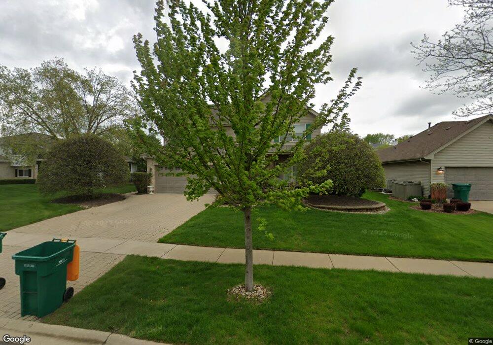
3213 Apache Dr New Lenox, IL 60451
Estimated Value: $425,251 - $471,000
About This Home
This home is located at 3213 Apache Dr, New Lenox, IL 60451 and is currently estimated at $457,313. 3213 Apache Dr is a home located in Will County with nearby schools including Haines Elementary School, Oster-Oakview School, and Lincoln Way West.
Ownership History
We collect this data history from publicly available records. To have your information removed, we recommend requesting removal directly through your county’s website.
Purchase Details
Purchase Details
Home Financials for this Owner
Home Financials are based on the most recent Mortgage that was taken out on this home.Purchase Details
Home Financials for this Owner
Home Financials are based on the most recent Mortgage that was taken out on this home.Home Values in the Area
Average Home Value in this Area
Purchase History
We collect this data history from publicly available records. To have your information removed, we recommend requesting removal directly through your county’s website.
| Date | Buyer | Sale Price | Title Company |
|---|---|---|---|
| -- | None Available | ||
| $360,000 | Millennium Title Group | ||
| $201,000 | -- |
Mortgage History
We collect this data history from publicly available records. To have your information removed, we recommend requesting removal directly through your county’s website.
| Date | Status | Borrower | Loan Amount |
|---|---|---|---|
| Open | $287,820 | ||
| Previous Owner | $180,000 |
Tax History
We collect this data history from publicly available records. To have your information removed, we recommend requesting removal directly through your county’s website.
| Year | Tax Paid | Tax Assessment Tax Assessment Total Assessment is a certain percentage of the fair market value that is determined by local assessors to be the total taxable value of land and additions on the property. | Land | Improvement |
|---|---|---|---|---|
| 2024 | $10,910 | $134,083 | $33,732 | $100,351 |
| 2023 | $10,464 | $122,227 | $30,749 | $91,478 |
| 2022 | $9,431 | $112,600 | $28,327 | $84,273 |
| 2021 | $8,984 | $105,897 | $26,641 | $79,256 |
| 2020 | $8,710 | $102,118 | $25,690 | $76,428 |
| 2019 | $8,428 | $98,951 | $24,893 | $74,058 |
| 2018 | $8,197 | $95,540 | $24,035 | $71,505 |
| 2017 | $7,970 | $92,793 | $23,344 | $69,449 |
| 2016 | $7,774 | $90,309 | $22,719 | $67,590 |
| 2015 | $7,513 | $87,466 | $22,004 | $65,462 |
| 2014 | $7,513 | $86,386 | $21,732 | $64,654 |
| 2013 | $7,513 | $87,550 | $22,025 | $65,525 |
Map
- 3241 Lightning Ct
- 3237 Lightning Ct
- 3209 Lightning Ct
- 3204 Hickory Creek Dr
- 908 Blandford Ave Unit 2
- 3408 Blandford Ave
- 2907 Golf Rd
- 903 Prescott Dr
- 19015 Spring Creek St Unit 1
- 2905 Carol Dr
- 0 Silver Cross Blvd
- 1013 Mountain View Dr
- 1301 Silver Cross Blvd
- 14119 W Maple Rd
- 1999 Silver Cross Blvd
- 2412 Fleetwood Dr
- 207 York Place
- 2408 Brush Hill Cir
- 1500 W Lincoln Hwy
- 1039 Silver Hill Cir
Ask me questions while you tour the home.