3215 Adventist Cir Morganton, NC 28655
Estimated Value: $252,000 - $406,000
3
Beds
2
Baths
1,595
Sq Ft
$211/Sq Ft
Est. Value
About This Home
This home is located at 3215 Adventist Cir, Morganton, NC 28655 and is currently estimated at $337,221, approximately $211 per square foot. 3215 Adventist Cir is a home located in Burke County with nearby schools including Oak Hill Elementary School, Table Rock Middle School, and Freedom High School.
Ownership History
Date
Name
Owned For
Owner Type
Purchase Details
Closed on
Jan 23, 2012
Sold by
Rudicill Elizabeth W
Bought by
Rudicill Rickie Clay
Current Estimated Value
Home Financials for this Owner
Home Financials are based on the most recent Mortgage that was taken out on this home.
Original Mortgage
$154,530
Interest Rate
4%
Mortgage Type
FHA
Create a Home Valuation Report for This Property
The Home Valuation Report is an in-depth analysis detailing your home's value as well as a comparison with similar homes in the area
Home Values in the Area
Average Home Value in this Area
Purchase History
| Date | Buyer | Sale Price | Title Company |
|---|---|---|---|
| Rudicill Rickie Clay | -- | None Available |
Source: Public Records
Mortgage History
| Date | Status | Borrower | Loan Amount |
|---|---|---|---|
| Closed | Rudicill Rickie Clay | $154,530 |
Source: Public Records
Tax History
| Year | Tax Paid | Tax Assessment Tax Assessment Total Assessment is a certain percentage of the fair market value that is determined by local assessors to be the total taxable value of land and additions on the property. | Land | Improvement |
|---|---|---|---|---|
| 2025 | $1,854 | $276,350 | $23,446 | $252,904 |
| 2024 | $1,864 | $276,350 | $23,446 | $252,904 |
| 2023 | $1,863 | $276,350 | $23,446 | $252,904 |
| 2022 | $1,419 | $171,865 | $19,070 | $152,795 |
| 2021 | $1,413 | $171,865 | $19,070 | $152,795 |
| 2020 | $1,409 | $171,865 | $19,070 | $152,795 |
| 2019 | $1,409 | $171,865 | $19,070 | $152,795 |
| 2018 | $1,381 | $168,296 | $19,070 | $149,226 |
| 2017 | $1,379 | $168,296 | $19,070 | $149,226 |
| 2016 | $1,349 | $168,296 | $19,070 | $149,226 |
| 2015 | $1,346 | $168,296 | $19,070 | $149,226 |
| 2014 | $1,344 | $168,296 | $19,070 | $149,226 |
| 2013 | $1,345 | $168,296 | $19,070 | $149,226 |
Source: Public Records
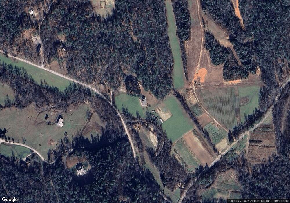
Map
Nearby Homes
- 2236 Sisue St
- 4157 Beck Rd
- 2033 Starlight Ln Unit 111
- 1060 Hawksbill Dr
- 1057 Hawksbill Dr
- 1386 Southpointe Dr
- 1277 Northview Dr
- 5339 Knollview Dr
- 5619 Channel View Cove
- 1441 Pheasant Run Ct
- 3375 Nc 126
- 0 Boyd Moore Ave Unit CAR3848175
- 4634 Harbor View Terrace
- 1590 Hawks Pointe Ln
- 4333 Kirby Dr Unit 10,14,4
- 4617 Harbor View Terrace
- 1504 Brentwood Place
- 5140 Beech Bluff Dr
- 1600 Lillians Point Ct Unit 33
- 4407 Georgia Pines Rd
- 3197 Adventist Cir
- 3133 Adventist Cir
- 2417 Adventist Cir
- 2165 Toads Way
- 2423 Adventist Cir Unit 2453
- 2496 Whisper Wind Ln
- 2453 Adventist Cir
- 2425 Whisper Wind Ln
- 2455 Whisper Wind Ln
- 2985 Adventist Cir
- 2535 Adventist Cir
- 5008 Fish Hatchery Rd
- 2975 Adventist Cir Unit 2985
- 5011 Fish Hatchery Rd
- 2615 Adventist Cir Unit 2625
- 2615 Adventist Cir Unit 1,6,7
- 2915 Adventist Cir
- 2655 Adventist Cir
- 5530 Fish Hatchery Rd
- 2676 Adventist Cir
Your Personal Tour Guide
Ask me questions while you tour the home.