3215 Brockport Spencerport Rd Spencerport, NY 14559
Estimated Value: $518,158 - $567,000
3
Beds
3
Baths
3,181
Sq Ft
$171/Sq Ft
Est. Value
About This Home
This home is located at 3215 Brockport Spencerport Rd, Spencerport, NY 14559 and is currently estimated at $543,290, approximately $170 per square foot. 3215 Brockport Spencerport Rd is a home with nearby schools including A M Cosgrove Middle School and Spencerport High School.
Ownership History
Date
Name
Owned For
Owner Type
Purchase Details
Closed on
Nov 22, 2022
Sold by
Page Tracy
Bought by
Page Tracy and Page Jeffrey M
Current Estimated Value
Purchase Details
Closed on
Jan 24, 2013
Sold by
Progno Nicholas
Bought by
Page Tracy
Home Financials for this Owner
Home Financials are based on the most recent Mortgage that was taken out on this home.
Original Mortgage
$150,000
Interest Rate
3.35%
Mortgage Type
New Conventional
Create a Home Valuation Report for This Property
The Home Valuation Report is an in-depth analysis detailing your home's value as well as a comparison with similar homes in the area
Home Values in the Area
Average Home Value in this Area
Purchase History
| Date | Buyer | Sale Price | Title Company |
|---|---|---|---|
| Page Tracy | -- | -- | |
| Page Tracy | $187,500 | None Available |
Source: Public Records
Mortgage History
| Date | Status | Borrower | Loan Amount |
|---|---|---|---|
| Previous Owner | Page Tracy | $150,000 |
Source: Public Records
Tax History Compared to Growth
Tax History
| Year | Tax Paid | Tax Assessment Tax Assessment Total Assessment is a certain percentage of the fair market value that is determined by local assessors to be the total taxable value of land and additions on the property. | Land | Improvement |
|---|---|---|---|---|
| 2024 | $9,983 | $395,900 | $39,900 | $356,000 |
| 2023 | $9,192 | $231,000 | $36,000 | $195,000 |
| 2022 | $9,264 | $231,000 | $36,000 | $195,000 |
| 2021 | $9,061 | $231,000 | $36,000 | $195,000 |
| 2020 | $8,252 | $231,000 | $36,000 | $195,000 |
| 2019 | $7,581 | $231,000 | $36,000 | $195,000 |
| 2018 | $8,236 | $231,000 | $36,000 | $195,000 |
| 2017 | $4,379 | $210,000 | $36,000 | $174,000 |
| 2016 | $7,581 | $210,000 | $36,000 | $174,000 |
| 2015 | -- | $210,000 | $36,000 | $174,000 |
| 2014 | -- | $210,000 | $36,000 | $174,000 |
Source: Public Records
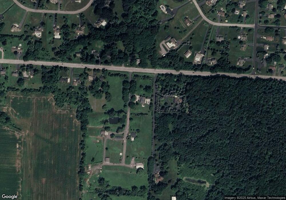
Map
Nearby Homes
- 24 Birdsong Terrace
- 3375 Brockport Spencerport Rd
- 76 Hawthorne Dr
- 4028 Canal Rd
- 326 Village Walk Cir
- 0000 Bay Leaf Cir Lot#119
- 000
- 00 Bay Leaf Circle Lot#117
- 0 Unit R1620030
- vl Canal Rd
- 87 Highview Dr
- 154 Amity St
- 607 Trimmer Rd
- 2283 S Union St
- 78 Clark St
- 49 Hillcrest Dr
- 4310 Canal Rd
- 389 Washington St
- 911 Washington St
- 909 Washington St
- 3199 Brockport Spencerport Rd
- 3232 Brockport Spencerport Rd
- 3273 Brockport Spencerport Rd
- 3234 Brockport Spencerport Rd
- 3275 Brockport Spencerport Rd
- 3275 Brockport Spencerport Rd Unit R
- 3236 Brockport Spencerport Rd
- 45 Longbow Cir
- 3277 Brockport Spencerport Rd
- 3238 Brockport Spencerport Rd
- 49 Longbow Cir
- 3207 Brockport Spencerport Rd
- 3860 Canal Rd
- 3279 Brockport Spencerport Rd
- 57 Longbow Cir
- 68 Sarah Cir
- 41 Longbow Cir
- 37 Longbow Cir
- 64 Sarah Cir
- 53 Longbow Cir