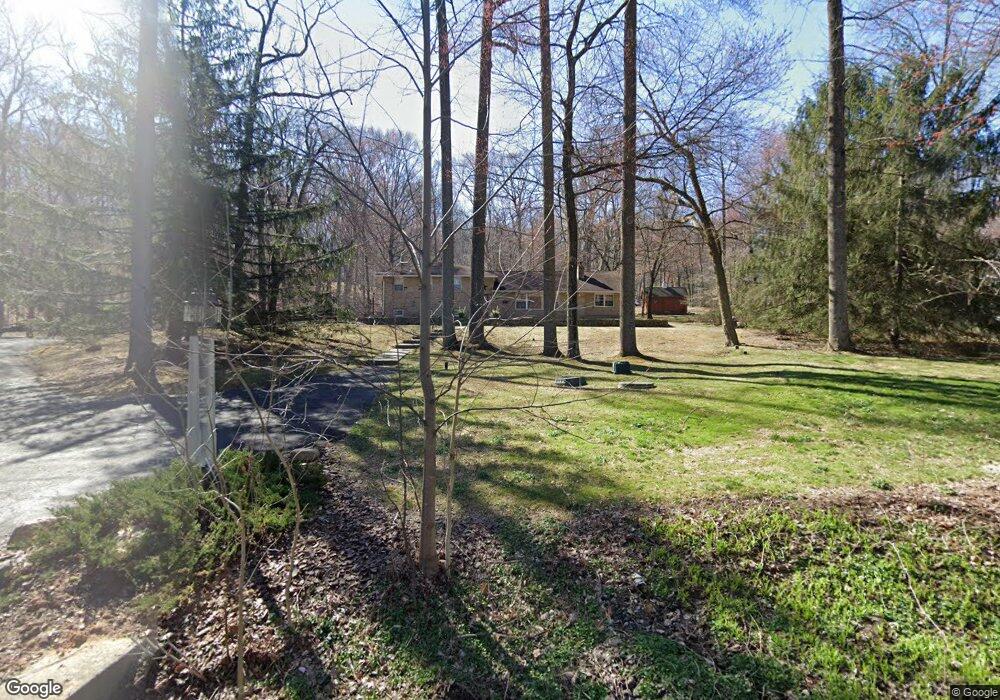
3215 Pennypack Rd Hatboro, PA 19040
Upper Moreland NeighborhoodEstimated Value: $689,959 - $787,000
3
Beds
3
Baths
3,272
Sq Ft
$227/Sq Ft
Est. Value
About This Home
This home is located at 3215 Pennypack Rd, Hatboro, PA 19040 and is currently estimated at $741,990, approximately $226 per square foot. 3215 Pennypack Rd is a home located in Montgomery County with nearby schools including Upper Moreland Intermediate School, Upper Moreland Primary School, and Upper Moreland Middle School.
Ownership History
Date
Name
Owned For
Owner Type
Purchase Details
Closed on
Sep 30, 2004
Sold by
Boyle Roderick and Boyle Marianne
Bought by
Martino Paul and Martino Melanie
Current Estimated Value
Create a Home Valuation Report for This Property
The Home Valuation Report is an in-depth analysis detailing your home's value as well as a comparison with similar homes in the area
Home Values in the Area
Average Home Value in this Area
Purchase History
| Date | Buyer | Sale Price | Title Company |
|---|---|---|---|
| Martino Paul | $429,000 | -- |
Source: Public Records
Mortgage History
| Date | Status | Borrower | Loan Amount |
|---|---|---|---|
| Closed | Martino Paul | $0 |
Source: Public Records
Tax History Compared to Growth
Tax History
| Year | Tax Paid | Tax Assessment Tax Assessment Total Assessment is a certain percentage of the fair market value that is determined by local assessors to be the total taxable value of land and additions on the property. | Land | Improvement |
|---|---|---|---|---|
| 2025 | $9,938 | $209,080 | $57,100 | $151,980 |
| 2024 | $9,938 | $209,080 | $57,100 | $151,980 |
| 2023 | $9,526 | $209,080 | $57,100 | $151,980 |
| 2022 | $8,958 | $209,080 | $57,100 | $151,980 |
| 2021 | $8,838 | $209,080 | $57,100 | $151,980 |
| 2020 | $8,546 | $209,080 | $57,100 | $151,980 |
| 2019 | $8,359 | $209,080 | $57,100 | $151,980 |
| 2018 | $8,359 | $209,080 | $57,100 | $151,980 |
| 2017 | $7,985 | $209,080 | $57,100 | $151,980 |
| 2016 | $7,903 | $209,080 | $57,100 | $151,980 |
| 2015 | $7,500 | $209,080 | $57,100 | $151,980 |
| 2014 | $7,500 | $209,080 | $57,100 | $151,980 |
Source: Public Records
Map
Nearby Homes
- 80 High Point W
- 2160 Huntingdon Rd
- 2390 Terwood Rd
- 141 Greenwood Dr
- 204 Cowbell Rd
- 1790 Cathedral Rd
- 181 Campmeeting Rd
- 185 Windmill Rd
- 2455 Byberry Rd
- 4280 Frontier Rd
- 315 Arionne Dr
- 105 Overlook Ave
- 3898 Round Meadow Ln
- 1104 N York Rd
- 885 N York Rd Unit 12C
- 1014 N York Rd
- 1006 N York Rd Unit 1
- 1715 Terwood Rd
- 712 N York Rd
- 401 Church St
- 3205 Pennypack Rd
- 3213 Pennypack Rd
- 90 High Point W
- 3165 Pennypack Rd
- 70 High Point W
- 3155 Pennypack Rd
- 30 High Point E
- 60 High Point W
- 2325 Huntingdon Rd
- 3150 Pennypack Rd
- 3145 Pennypack Rd
- 2175 Huntingdon Rd
- 20 High Point E
- 2185 Huntingdon Rd
- 3140 Pennypack Rd
- 3135 Pennypack Rd
- 2315 Huntingdon Rd
- 2265 Huntingdon Rd
- 10 High Point E
- 2309 Huntingdon Rd