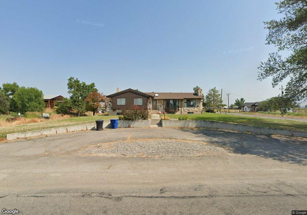
3215 W 3000 N Smithfield, UT 84335
Estimated Value: $476,000 - $686,000
Studio
--
Bath
2,558
Sq Ft
$232/Sq Ft
Est. Value
About This Home
This home is located at 3215 W 3000 N, Smithfield, UT 84335 and is currently estimated at $594,227, approximately $232 per square foot. 3215 W 3000 N is a home with nearby schools including Birch Creek School, Cedar Ridge School, and North Cache Middle School.
Ownership History
Date
Name
Owned For
Owner Type
Purchase Details
Closed on
Oct 3, 2002
Sold by
Kunzler Darrell C and Kunzler Sharon R
Bought by
Kunzler Darrell C and Kunzler Sharon R
Current Estimated Value
Purchase Details
Closed on
Dec 10, 2001
Sold by
Kunzler Darrell C and Kunzler Sharon R
Bought by
Darrell Kunzler Landholdings Llc
Home Financials for this Owner
Home Financials are based on the most recent Mortgage that was taken out on this home.
Original Mortgage
$96,000
Interest Rate
6.57%
Create a Home Valuation Report for This Property
The Home Valuation Report is an in-depth analysis detailing your home's value as well as a comparison with similar homes in the area
Home Values in the Area
Average Home Value in this Area
Purchase History
| Date | Buyer | Sale Price | Title Company |
|---|---|---|---|
| Kunzler Darrell C | -- | -- | |
| Darrell Kunzler Landholdings Llc | -- | Northern Title Company | |
| Kunzler Darrell C | -- | Northern Title Company |
Source: Public Records
Mortgage History
| Date | Status | Borrower | Loan Amount |
|---|---|---|---|
| Previous Owner | Kunzler Darrell C | $96,000 |
Source: Public Records
Tax History
| Year | Tax Paid | Tax Assessment Tax Assessment Total Assessment is a certain percentage of the fair market value that is determined by local assessors to be the total taxable value of land and additions on the property. | Land | Improvement |
|---|---|---|---|---|
| 2025 | $2,064 | $337,345 | $0 | $0 |
| 2024 | $2,231 | $337,485 | $0 | $0 |
| 2023 | $2,484 | $351,410 | $0 | $0 |
| 2022 | $2,281 | $308,465 | $0 | $0 |
| 2021 | $2,202 | $436,750 | $73,250 | $363,500 |
| 2020 | $2,046 | $380,150 | $73,250 | $306,900 |
| 2019 | $1,820 | $316,139 | $73,250 | $242,889 |
| 2018 | $1,686 | $282,734 | $73,250 | $209,484 |
| 2017 | $1,477 | $140,635 | $0 | $0 |
| 2016 | $1,495 | $138,435 | $0 | $0 |
| 2015 | $1,468 | $138,435 | $0 | $0 |
| 2014 | $1,344 | $130,740 | $0 | $0 |
| 2013 | -- | $130,740 | $0 | $0 |
Source: Public Records
Map
Nearby Homes
- 1799 W 3400 N
- 3776 N 2400 W
- 208 W 3600 N
- 2653 W 5230 N
- 1600 W 4600 N
- 32 E 100 N
- 850 W 4600 N
- 1926 Lavender Loop Unit 6
- 1492 N 565 W Unit 103
- 519 W 1570 N Unit 103
- 2 Somerset Place
- 1903 N 300 W
- 1515 N 450 W Unit 103
- 1521 N 420 W Unit 104
- 54 Kensington Place
- 49 Kensington Place
- 240 N 1375 W Unit 3
- 395 W 3200 N
- 400 W 3200 N
- 1555 N 280 W Unit 102
Your Personal Tour Guide
Ask me questions while you tour the home.