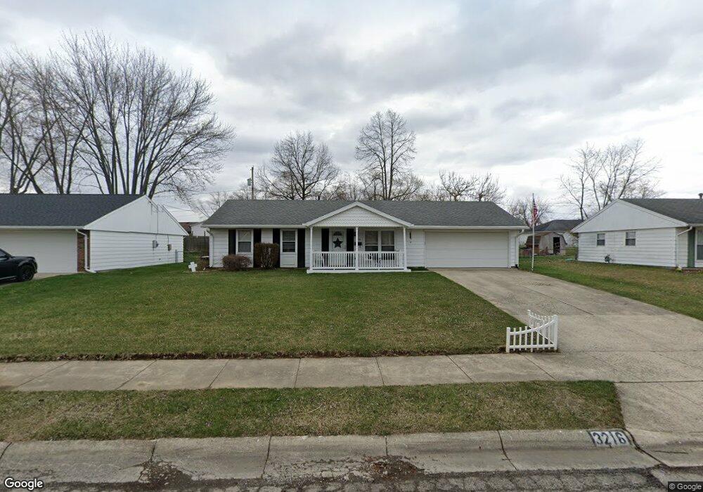
3216 Glouster St Springfield, OH 45503
Estimated Value: $180,156 - $204,000
3
Beds
1
Bath
1,250
Sq Ft
$156/Sq Ft
Est. Value
About This Home
This home is located at 3216 Glouster St, Springfield, OH 45503 and is currently estimated at $195,039, approximately $156 per square foot. 3216 Glouster St is a home located in Clark County with nearby schools including Kenton Elementary School, Roosevelt Middle School, and Springfield High School.
Ownership History
Date
Name
Owned For
Owner Type
Purchase Details
Closed on
Sep 28, 2007
Sold by
Reisinger Christopher R and Reisinger Heather
Bought by
Whaley Donna R
Current Estimated Value
Purchase Details
Closed on
Dec 31, 2002
Sold by
Gootee Wendi M
Bought by
Reisinger Christopher R
Home Financials for this Owner
Home Financials are based on the most recent Mortgage that was taken out on this home.
Original Mortgage
$102,192
Interest Rate
6.13%
Mortgage Type
FHA
Create a Home Valuation Report for This Property
The Home Valuation Report is an in-depth analysis detailing your home's value as well as a comparison with similar homes in the area
Home Values in the Area
Average Home Value in this Area
Purchase History
| Date | Buyer | Sale Price | Title Company |
|---|---|---|---|
| Whaley Donna R | $110,000 | Attorney | |
| Reisinger Christopher R | $103,000 | -- |
Source: Public Records
Mortgage History
| Date | Status | Borrower | Loan Amount |
|---|---|---|---|
| Previous Owner | Reisinger Christopher R | $102,192 |
Source: Public Records
Tax History
| Year | Tax Paid | Tax Assessment Tax Assessment Total Assessment is a certain percentage of the fair market value that is determined by local assessors to be the total taxable value of land and additions on the property. | Land | Improvement |
|---|---|---|---|---|
| 2025 | $1,317 | $53,220 | $9,490 | $43,730 |
| 2024 | $1,313 | $36,410 | $9,020 | $27,390 |
| 2023 | $1,313 | $36,410 | $9,020 | $27,390 |
| 2022 | $1,365 | $36,410 | $9,020 | $27,390 |
| 2021 | $1,281 | $32,690 | $6,780 | $25,910 |
| 2020 | $1,284 | $32,690 | $6,780 | $25,910 |
| 2019 | $1,287 | $32,690 | $6,780 | $25,910 |
| 2018 | $1,070 | $27,890 | $7,190 | $20,700 |
| 2017 | $1,070 | $29,474 | $7,186 | $22,288 |
| 2016 | $1,071 | $29,474 | $7,186 | $22,288 |
| 2015 | $918 | $29,068 | $6,780 | $22,288 |
| 2014 | $914 | $29,068 | $6,780 | $22,288 |
| 2013 | $904 | $29,068 | $6,780 | $22,288 |
Source: Public Records
Map
Nearby Homes
- 1948 Falmouth Ave
- 3300 Revels St
- 3214 Revels St
- 1924 Marinette Dr
- 2022 Westboro Ave
- 1516 Hyannis Dr
- 1032 Armsgate Rd
- 1040 Carson Ln
- 1139 Bradford Dr
- 1811 Devon Dr
- 2043 Providence Ave
- 2529 Marinette Dr
- 3124 El Camino Dr
- 1136 Foxboro Rd Unit 202
- 1149 Foxboro Rd
- 3135 Imperial Blvd
- 3126 Lakeview Ct Unit 3126
- 2553 Derr Rd
- 2400 Thor Dr
- 1507 Kingsgate Rd
- 3224 Glouster St
- 3208 Glouster St
- 3215 Haverhill St
- 3223 Haverhill St
- 3211 Haverhill St
- 3200 Glouster St
- 3223 Glouster St
- 3211 Glouster St
- 3231 Haverhill St
- 3207 Haverhill St
- 3238 Glouster St
- 3154 Glouster St
- 3231 Glouster St
- 3207 Glouster St
- 3239 Haverhill St
- 3153 Haverhill St
- 3239 Glouster St
- 3153 Glouster St
- 3216 Haverhill St
- 3214 Woonsocket St
Your Personal Tour Guide
Ask me questions while you tour the home.