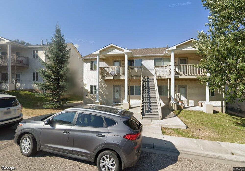
3216 Randy Rd Cheyenne, WY 82001
Estimated Value: $528,000
2
Beds
2
Baths
900
Sq Ft
$587/Sq Ft
Est. Value
About This Home
This home is located at 3216 Randy Rd, Cheyenne, WY 82001 and is currently estimated at $528,000, approximately $586 per square foot. 3216 Randy Rd is a home located in Laramie County with nearby schools including Henderson Elementary School, Carey Junior High School, and East High School.
Ownership History
Date
Name
Owned For
Owner Type
Purchase Details
Closed on
Dec 22, 2003
Sold by
Cedarwood Manor Llc
Bought by
Abbene Matthew P and Abbene Clare H
Current Estimated Value
Home Financials for this Owner
Home Financials are based on the most recent Mortgage that was taken out on this home.
Original Mortgage
$231,800
Outstanding Balance
$108,087
Interest Rate
5.97%
Mortgage Type
Purchase Money Mortgage
Estimated Equity
$419,913
Purchase Details
Closed on
Oct 21, 2003
Sold by
Sutherland Larry and Richardson Randy
Bought by
Cedarwood Manor Llc
Create a Home Valuation Report for This Property
The Home Valuation Report is an in-depth analysis detailing your home's value as well as a comparison with similar homes in the area
Purchase History
| Date | Buyer | Sale Price | Title Company |
|---|---|---|---|
| Abbene Matthew P | -- | -- | |
| Cedarwood Manor Llc | -- | -- |
Source: Public Records
Mortgage History
| Date | Status | Borrower | Loan Amount |
|---|---|---|---|
| Open | Abbene Matthew P | $231,800 |
Source: Public Records
Tax History
| Year | Tax Paid | Tax Assessment Tax Assessment Total Assessment is a certain percentage of the fair market value that is determined by local assessors to be the total taxable value of land and additions on the property. | Land | Improvement |
|---|---|---|---|---|
| 2025 | $3,390 | $54,363 | $4,439 | $49,924 |
| 2024 | $3,390 | $47,943 | $4,439 | $43,504 |
| 2023 | $3,457 | $48,888 | $4,439 | $44,449 |
| 2022 | $3,490 | $48,355 | $4,439 | $43,916 |
| 2021 | $2,964 | $40,968 | $4,439 | $36,529 |
| 2020 | $2,786 | $38,621 | $4,439 | $34,182 |
| 2019 | $2,805 | $38,844 | $4,439 | $34,405 |
| 2018 | $2,731 | $38,182 | $4,302 | $33,880 |
| 2017 | $2,558 | $35,441 | $4,302 | $31,139 |
| 2016 | $2,470 | $34,212 | $4,302 | $29,910 |
| 2015 | $2,542 | $35,195 | $4,302 | $30,893 |
| 2014 | $2,572 | $35,383 | $4,302 | $31,081 |
Source: Public Records
Map
Nearby Homes
- 3319 Myers Ct
- 3425 Myers Ct
- 3518 Randy Rd
- 3524 Frontier St
- 3513 Holmes St
- 3248 Acacia Dr
- 3315 Grove Dr
- 2334 Mccann Ave Unit 56
- 2842 Pine Dr
- 3331 Belaire Ave
- 3410 Ridge Rd
- TBD Atkin St
- 2985 Henderson Dr
- 3820 E Pershing Blvd
- Lot 2 E 13th St
- 3802 Mccann Ave
- Lot 1 Block 2 N College Dr
- Lot 1 Block 1 N College Dr
- 840 Stevens Dr
- 901 Coolidge St
- 3224 Randy Rd
- 3200 Randy Rd
- 3219 Frontier St
- 3300 Randy Rd
- 3229 Frontier St Unit 3229 Frontier St
- 3227 Frontier St Unit 3227 Frontier St
- 3235 Frontier St
- TBD Randy Rd
- 3531 Silvergate Dr
- 3316 Randy Rd
- 3525 Silvergate Dr
- 1820 Ridge Rd
- 3141 Frontier St
- 3537 Silvergate Dr
- 3517 Silvergate Dr
- 3135 Frontier St
- 3545 Silvergate Dr
- 3302 Frontier St
- 3509 Silvergate Dr
- 3324 Randy Rd
Your Personal Tour Guide
Ask me questions while you tour the home.