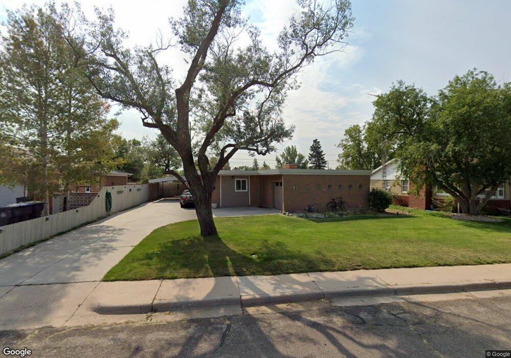
3217 Forest Dr Cheyenne, WY 82001
Mountview Park NeighborhoodEstimated Value: $337,875 - $359,000
3
Beds
2
Baths
1,389
Sq Ft
$251/Sq Ft
Est. Value
About This Home
This home is located at 3217 Forest Dr, Cheyenne, WY 82001 and is currently estimated at $349,219, approximately $251 per square foot. 3217 Forest Dr is a home located in Laramie County with nearby schools including Henderson Elementary School, Carey Junior High School, and East High School.
Ownership History
Date
Name
Owned For
Owner Type
Purchase Details
Closed on
Mar 29, 2019
Sold by
Gallegos Jimmy L
Bought by
Pfoor Fiona J and Crow Thomas W
Current Estimated Value
Home Financials for this Owner
Home Financials are based on the most recent Mortgage that was taken out on this home.
Original Mortgage
$183,200
Outstanding Balance
$161,065
Interest Rate
4.3%
Mortgage Type
New Conventional
Estimated Equity
$188,154
Purchase Details
Closed on
Jul 19, 2018
Sold by
Gallegos Jimmy L and Gallegos Joyce
Bought by
Gallegos Jimmy L
Home Financials for this Owner
Home Financials are based on the most recent Mortgage that was taken out on this home.
Original Mortgage
$78,037
Interest Rate
4.5%
Mortgage Type
Purchase Money Mortgage
Create a Home Valuation Report for This Property
The Home Valuation Report is an in-depth analysis detailing your home's value as well as a comparison with similar homes in the area
Home Values in the Area
Average Home Value in this Area
Purchase History
| Date | Buyer | Sale Price | Title Company |
|---|---|---|---|
| Pfoor Fiona J | -- | First American Title | |
| Gallegos Jimmy L | -- | None Available |
Source: Public Records
Mortgage History
| Date | Status | Borrower | Loan Amount |
|---|---|---|---|
| Open | Pfoor Fiona J | $183,200 | |
| Previous Owner | Gallegos Jimmy L | $78,037 |
Source: Public Records
Tax History
| Year | Tax Paid | Tax Assessment Tax Assessment Total Assessment is a certain percentage of the fair market value that is determined by local assessors to be the total taxable value of land and additions on the property. | Land | Improvement |
|---|---|---|---|---|
| 2025 | $2,021 | $22,171 | $3,918 | $18,253 |
| 2024 | $2,021 | $28,583 | $5,224 | $23,359 |
| 2023 | $1,955 | $27,648 | $5,224 | $22,424 |
| 2022 | $1,812 | $25,108 | $5,224 | $19,884 |
| 2021 | $1,582 | $21,869 | $5,224 | $16,645 |
| 2020 | $1,497 | $20,756 | $5,224 | $15,532 |
| 2019 | $1,375 | $19,039 | $5,224 | $13,815 |
| 2018 | $1,273 | $17,795 | $4,464 | $13,331 |
| 2017 | $1,301 | $18,024 | $3,419 | $14,605 |
| 2016 | $1,257 | $17,414 | $3,151 | $14,263 |
| 2015 | $1,177 | $16,300 | $3,151 | $13,149 |
| 2014 | $1,167 | $16,056 | $3,151 | $12,905 |
Source: Public Records
Map
Nearby Homes
- 3248 Acacia Dr
- 3241 Acacia Dr
- 2842 Pine Dr
- 2985 Henderson Dr
- 2820 Kelley Dr
- 1719 Walnut Dr
- 3319 Myers Ct
- 3315 Grove Dr
- 1502 Willow Dr
- 3424 Frontier St
- 3425 Myers Ct
- Proposed Lot 3 Ridge Rd
- Proposed Lot 2 Ridge Rd
- Proposed Lot 4 Ridge Rd
- 1101 Rosebud Rd
- 1518 Hot Springs Ave
- 3849 E Lincolnway
- 3331 Belaire Ave
- 2533 Deming Blvd
- 2334 Mccann Ave Unit 56
Your Personal Tour Guide
Ask me questions while you tour the home.