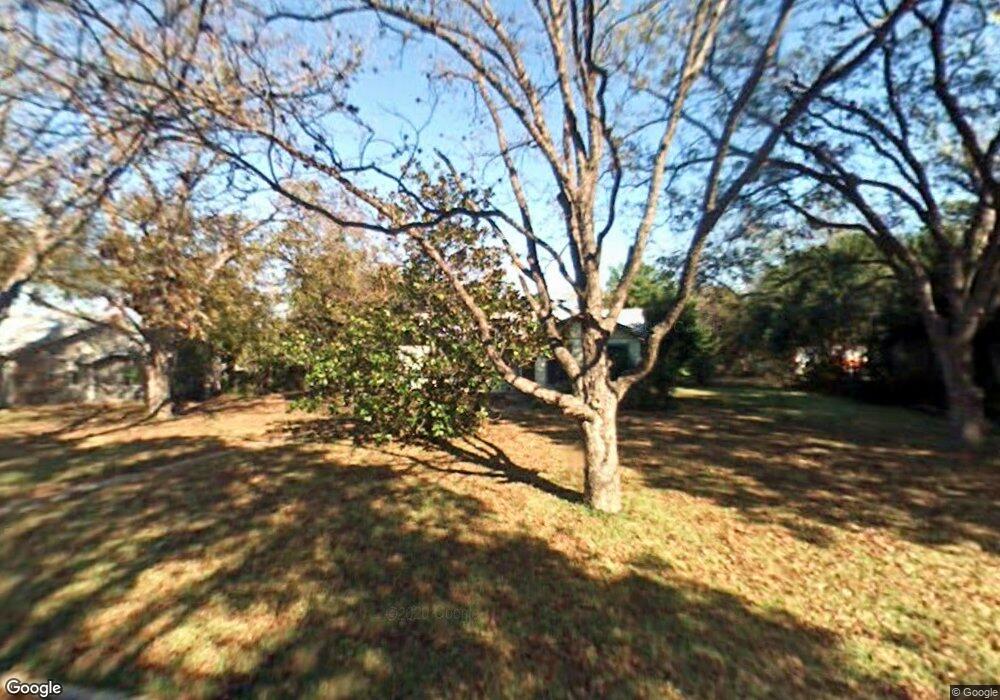
3217 N 32nd St Waco, TX 76708
Landon Branch NeighborhoodEstimated Value: $143,841 - $224,000
3
Beds
1
Bath
1,114
Sq Ft
$157/Sq Ft
Est. Value
About This Home
This home is located at 3217 N 32nd St, Waco, TX 76708 and is currently estimated at $174,960, approximately $157 per square foot. 3217 N 32nd St is a home located in McLennan County with nearby schools including Mountainview Elementary School, Tennyson Middle School, and Waco High School.
Ownership History
Date
Name
Owned For
Owner Type
Purchase Details
Closed on
Sep 12, 2014
Sold by
Tabor Tommy
Bought by
Barron Samantha K
Current Estimated Value
Home Financials for this Owner
Home Financials are based on the most recent Mortgage that was taken out on this home.
Original Mortgage
$83,456
Outstanding Balance
$63,985
Interest Rate
4.18%
Mortgage Type
VA
Estimated Equity
$110,975
Purchase Details
Closed on
Jun 17, 2011
Sold by
Purvis Roxanne Wilkerson and Deese Lisa Gail Wilkerson
Bought by
Tabor Tommy
Create a Home Valuation Report for This Property
The Home Valuation Report is an in-depth analysis detailing your home's value as well as a comparison with similar homes in the area
Home Values in the Area
Average Home Value in this Area
Purchase History
| Date | Buyer | Sale Price | Title Company |
|---|---|---|---|
| Barron Samantha K | -- | None Available | |
| Tabor Tommy | -- | None Available |
Source: Public Records
Mortgage History
| Date | Status | Borrower | Loan Amount |
|---|---|---|---|
| Open | Barron Samantha K | $83,456 |
Source: Public Records
Tax History Compared to Growth
Tax History
| Year | Tax Paid | Tax Assessment Tax Assessment Total Assessment is a certain percentage of the fair market value that is determined by local assessors to be the total taxable value of land and additions on the property. | Land | Improvement |
|---|---|---|---|---|
| 2025 | $955 | $104,731 | -- | -- |
| 2024 | $2,148 | $95,210 | $27,070 | $68,140 |
| 2023 | $2,135 | $95,210 | $27,070 | $68,140 |
| 2022 | $2,397 | $95,210 | $27,070 | $68,140 |
| 2021 | $2,531 | $95,210 | $16,600 | $78,610 |
| 2020 | $2,470 | $91,070 | $15,810 | $75,260 |
| 2019 | $2,492 | $88,570 | $15,020 | $73,550 |
| 2018 | $2,466 | $86,790 | $14,420 | $72,370 |
| 2017 | $2,251 | $78,960 | $13,630 | $65,330 |
| 2016 | $1,878 | $65,900 | $13,440 | $52,460 |
| 2015 | $1,556 | $64,450 | $13,040 | $51,410 |
| 2014 | $1,556 | $55,280 | $12,000 | $43,280 |
Source: Public Records
Map
Nearby Homes
- 3227 Macarthur Dr
- 3405 Macarthur Dr
- 3216 Macarthur Dr
- 3125 McFerrin Ave
- 3400 Dever Dr
- 3129 Fadal Ave
- 3405 Edna Ave
- 3338 Chimney Place Dr
- 3015 Sturgis Ln
- 3343 Chimney Place Dr
- 3400 Obrien Cir
- 3600 Macarthur Dr
- 3412 Sturgis Ln
- 2923 Reuter Ave
- 3313 Fox Hollow Cir
- 3217 N 27th St
- 3408 Fadal Ave
- 3106 N 26th St
- 3116 N 26th St
- 3110 N 26th St
