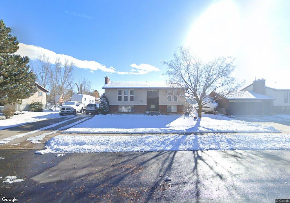
3217 W 1925 N Clearfield, UT 84015
Estimated Value: $420,687 - $501,000
5
Beds
2
Baths
1,032
Sq Ft
$443/Sq Ft
Est. Value
About This Home
This home is located at 3217 W 1925 N, Clearfield, UT 84015 and is currently estimated at $457,172, approximately $442 per square foot. 3217 W 1925 N is a home located in Davis County with nearby schools including West Clinton Elementary School, West Point Junior High School, and Clearfield High School.
Ownership History
Date
Name
Owned For
Owner Type
Purchase Details
Closed on
Feb 2, 2022
Sold by
Petersen Floyd W and Petersen Donna C
Bought by
Floyd And Donna Petersen Living Trust and Livin Donna
Current Estimated Value
Create a Home Valuation Report for This Property
The Home Valuation Report is an in-depth analysis detailing your home's value as well as a comparison with similar homes in the area
Home Values in the Area
Average Home Value in this Area
Purchase History
| Date | Buyer | Sale Price | Title Company |
|---|---|---|---|
| Floyd And Donna Petersen Living Trust | -- | None Listed On Document |
Source: Public Records
Tax History
| Year | Tax Paid | Tax Assessment Tax Assessment Total Assessment is a certain percentage of the fair market value that is determined by local assessors to be the total taxable value of land and additions on the property. | Land | Improvement |
|---|---|---|---|---|
| 2025 | $2,174 | $209,000 | $97,715 | $111,285 |
| 2024 | $2,088 | $201,850 | $106,624 | $95,226 |
| 2023 | $1,907 | $341,000 | $122,689 | $218,311 |
| 2022 | $2,040 | $201,850 | $73,374 | $128,476 |
| 2021 | $1,860 | $273,000 | $94,699 | $178,301 |
| 2020 | $1,625 | $236,000 | $82,010 | $153,990 |
| 2019 | $1,564 | $222,000 | $92,991 | $129,009 |
| 2018 | $1,435 | $200,000 | $78,179 | $121,821 |
| 2016 | $1,272 | $91,575 | $30,760 | $60,815 |
| 2015 | $1,188 | $81,290 | $30,760 | $50,530 |
| 2014 | $961 | $66,813 | $30,760 | $36,053 |
| 2013 | -- | $73,114 | $27,373 | $45,741 |
Source: Public Records
Map
Nearby Homes
- 3941 W 1800 N
- 2927 W 2100 N
- 339 N 3250 W Unit 12
- 2118 Snowy Crane Dr
- 3656 W 1800 N
- 1727 N 2700 W
- 2000 Garden Plan at Cranefield Estates - Collection
- 2400 Garden Plan at Cranefield Estates - Collection
- 2500 Farmhouse Plan at Cranefield Estates - Collection
- 1700 Farmhouse Plan at Cranefield Estates - Collection
- San Marino Traditional Plan at Cranefield Estates
- 2542 N 3300 W
- 2611 W 1675 N Unit 17
- 3027 W 2600 N
- 3033 W 2600 N
- 2921 W 1300 N
- 2544 W 1675 N
- 3816 W 2300 N
- 3828 W 2300 N
- 3826 W 2350 N
Your Personal Tour Guide
Ask me questions while you tour the home.