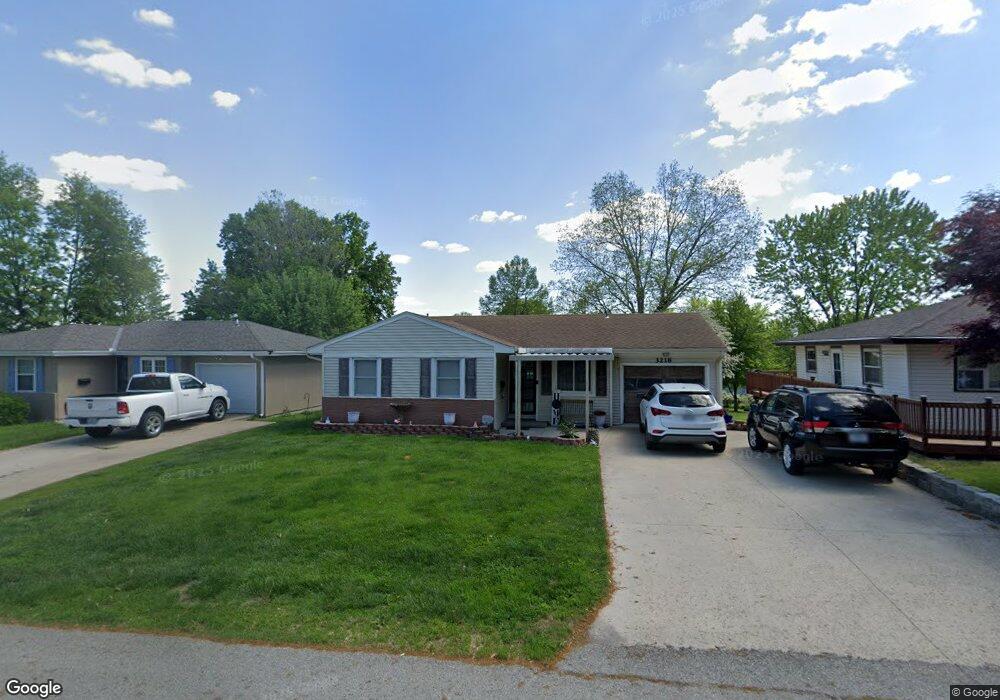
3218 Summit Ave Saint Joseph, MO 64506
Ashland NeighborhoodEstimated Value: $162,705 - $210,000
Studio
--
Bath
1,020
Sq Ft
$187/Sq Ft
Est. Value
About This Home
This home is located at 3218 Summit Ave, Saint Joseph, MO 64506 and is currently estimated at $191,176, approximately $187 per square foot. 3218 Summit Ave is a home located in Buchanan County with nearby schools including Field Elementary School, Bode Middle School, and Central High School.
Ownership History
Date
Name
Owned For
Owner Type
Purchase Details
Closed on
Aug 30, 2022
Sold by
Marilyn Nordstrom Trust
Bought by
Swartz Tammy
Current Estimated Value
Home Financials for this Owner
Home Financials are based on the most recent Mortgage that was taken out on this home.
Original Mortgage
$5,302
Outstanding Balance
$5,064
Interest Rate
5.55%
Estimated Equity
$186,112
Purchase Details
Closed on
Mar 22, 2012
Sold by
Nordstrom Marilyn K
Bought by
Nordstrom Marilyn K and Marilyn Nordstrom Trust
Create a Home Valuation Report for This Property
The Home Valuation Report is an in-depth analysis detailing your home's value as well as a comparison with similar homes in the area
Home Values in the Area
Average Home Value in this Area
Purchase History
| Date | Buyer | Sale Price | Title Company |
|---|---|---|---|
| Swartz Tammy | -- | First American Title | |
| Nordstrom Marilyn K | -- | None Available | |
| Np | -- | None Available |
Source: Public Records
Mortgage History
| Date | Status | Borrower | Loan Amount |
|---|---|---|---|
| Open | Swartz Tammy | $5,302 | |
| Open | Swartz Tammy | $132,554 |
Source: Public Records
Tax History
| Year | Tax Paid | Tax Assessment Tax Assessment Total Assessment is a certain percentage of the fair market value that is determined by local assessors to be the total taxable value of land and additions on the property. | Land | Improvement |
|---|---|---|---|---|
| 2025 | $1,346 | $18,650 | $4,940 | $13,710 |
| 2024 | $1,247 | $17,270 | $4,940 | $12,330 |
| 2023 | $1,247 | $17,270 | $4,940 | $12,330 |
| 2022 | $1,152 | $17,270 | $4,940 | $12,330 |
| 2021 | $1,157 | $17,270 | $4,940 | $12,330 |
| 2020 | $1,150 | $17,270 | $4,940 | $12,330 |
| 2019 | $1,111 | $17,270 | $4,940 | $12,330 |
| 2018 | $1,004 | $17,270 | $4,940 | $12,330 |
| 2017 | $995 | $17,270 | $0 | $0 |
| 2015 | $0 | $17,270 | $0 | $0 |
| 2014 | $1,090 | $17,270 | $0 | $0 |
Source: Public Records
Map
Nearby Homes
- 3107 Carlisle Ct
- 3109 Carlisle Ct
- 3111 Carlisle Ct
- 3117 Miller Ave
- 2634 Lucille Ave
- 00 Lot 2 Highway 169
- 3309 Mueller Ln
- 2611 Parallel Ave
- 2520 N 35th St
- 2610 Parallel Ave
- 4411 Rochester Rd
- 3509 Robin Ln
- 28 Court Ln
- 4301 N 169 Hwy
- 3212 Morton Ln
- 3413 W Colony Square
- 2712 N 39th Terrace
- 2204 Ashland Ave
- 3904 Remington Ct
- 2110 Ashland Ave
- 3222 Summit Ave
- 3226 Summit Ave
- 3210 Summit Ave
- 3206 Summit Ave
- 3232 Summit Ave
- 3207 Dale Ave
- 3205 Dale Ave
- 2909 N 32nd St
- 3202 Summit Ave
- 3203 Dale Ave
- 3205 Summit Ave
- 3217 Dale Ave
- 3203 Summit Ave
- 3201 Dale Ave
- 3219 Dale Ave
- 3137 Summit Ave
- 3516 N Belt Hwy
- 3130 Summit Ave
- 2910 N 32nd St
- 3208 Floral Ave
Your Personal Tour Guide
Ask me questions while you tour the home.