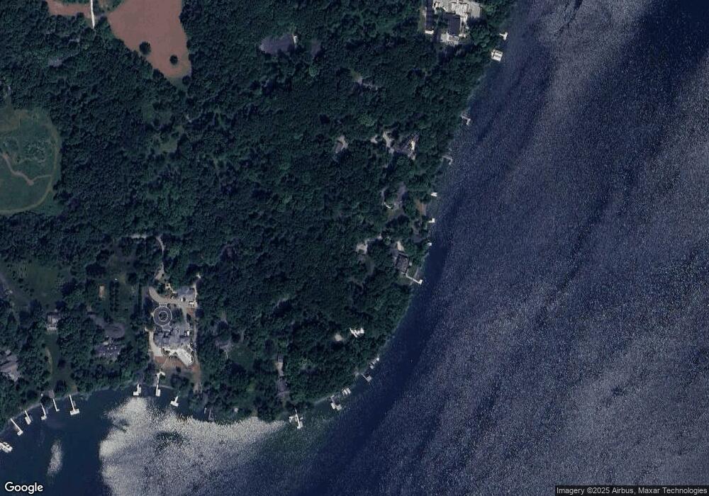
32182 W Oakland Rd Nashotah, WI 53058
Estimated Value: $1,538,000 - $2,614,707
5
Beds
--
Bath
2,789
Sq Ft
$706/Sq Ft
Est. Value
About This Home
This home is located at 32182 W Oakland Rd, Nashotah, WI 53058 and is currently estimated at $1,967,902, approximately $705 per square foot. 32182 W Oakland Rd is a home with nearby schools including Stone Bank Elementary School and Arrowhead High School.
Ownership History
Date
Name
Owned For
Owner Type
Purchase Details
Closed on
Dec 18, 2008
Sold by
Scott John R and Holbrook Linda S
Bought by
Pranke Holding 32182 Oakland Road Llc
Current Estimated Value
Purchase Details
Closed on
Jul 12, 2007
Sold by
Scott Warren J
Bought by
John R Scott Irrevocable Trust and Linda Scott Holbrook Irrevocable Trust
Create a Home Valuation Report for This Property
The Home Valuation Report is an in-depth analysis detailing your home's value as well as a comparison with similar homes in the area
Home Values in the Area
Average Home Value in this Area
Purchase History
| Date | Buyer | Sale Price | Title Company |
|---|---|---|---|
| Pranke Holding 32182 Oakland Road Llc | $1,600,000 | None Available | |
| John R Scott Irrevocable Trust | -- | None Available |
Source: Public Records
Tax History Compared to Growth
Tax History
| Year | Tax Paid | Tax Assessment Tax Assessment Total Assessment is a certain percentage of the fair market value that is determined by local assessors to be the total taxable value of land and additions on the property. | Land | Improvement |
|---|---|---|---|---|
| 2024 | $16,360 | $1,800,400 | $1,349,400 | $451,000 |
| 2023 | $15,729 | $1,800,400 | $1,349,400 | $451,000 |
| 2022 | $15,658 | $1,614,500 | $1,193,700 | $420,800 |
| 2021 | $17,475 | $1,510,500 | $1,141,800 | $368,700 |
| 2020 | $17,732 | $1,464,600 | $1,115,800 | $348,800 |
| 2019 | $17,481 | $1,428,900 | $1,089,900 | $339,000 |
| 2018 | $17,719 | $1,425,000 | $1,089,900 | $335,100 |
| 2017 | $18,214 | $1,414,600 | $1,089,900 | $324,700 |
| 2016 | $19,465 | $1,381,700 | $1,065,300 | $316,400 |
| 2015 | $19,955 | $1,372,900 | $1,065,300 | $307,600 |
| 2014 | $21,685 | $1,375,000 | $1,065,300 | $309,700 |
| 2013 | $21,685 | $1,360,300 | $1,065,300 | $295,000 |
Source: Public Records
Map
Nearby Homes
- 32683 Pheasant Dr
- 6644 N Shawmoors Dr
- N67W32498 Wildwood Point Rd
- W329N6495 Forest Dr
- W332N6211 County Road C
- W332n6481 County Road C
- W332N6553 County Road C
- Lt8 Road L
- Lt5 Road L
- Lt9-13 Road L
- Lt1-3 Road L
- L16,17,18 Road L -
- W308N5576 Windrise Cir
- W335N5511 Island View Ln
- 4779 Pine Meadows Ln
- 4848 Wisconsin 83
- N67W30854 Golf Rd
- W312N4890 Chapel Ridge Rd
- N53W30509 Arrowhead Dr
- Lt1 Swallow Ln
- W32265 Oakland Rd
- 32179 W Oakland Rd
- 32275 W Oakland Rd
- 32279 W Oakland Rd
- 6100 Brumder Rd
- 6100 Brumder Rd
- 32289 W Oakland Rd
- 32307 W Oakland Rd
- 6128 Brumder Rd
- 32377 W Oakland Rd
- 6144 Brumder Rd
- 32312 W Oakland Rd
- 32451 W Oakland Rd
- 6182 Brumder Rd
- 6136 Brumder Rd
- 32452 W Oakland Rd
- 6208 Brumder Rd
- 6310 N Tarry Ln
- 6315 N Tarry Ln Unit 6315
- 6312 N Tarry Ln
