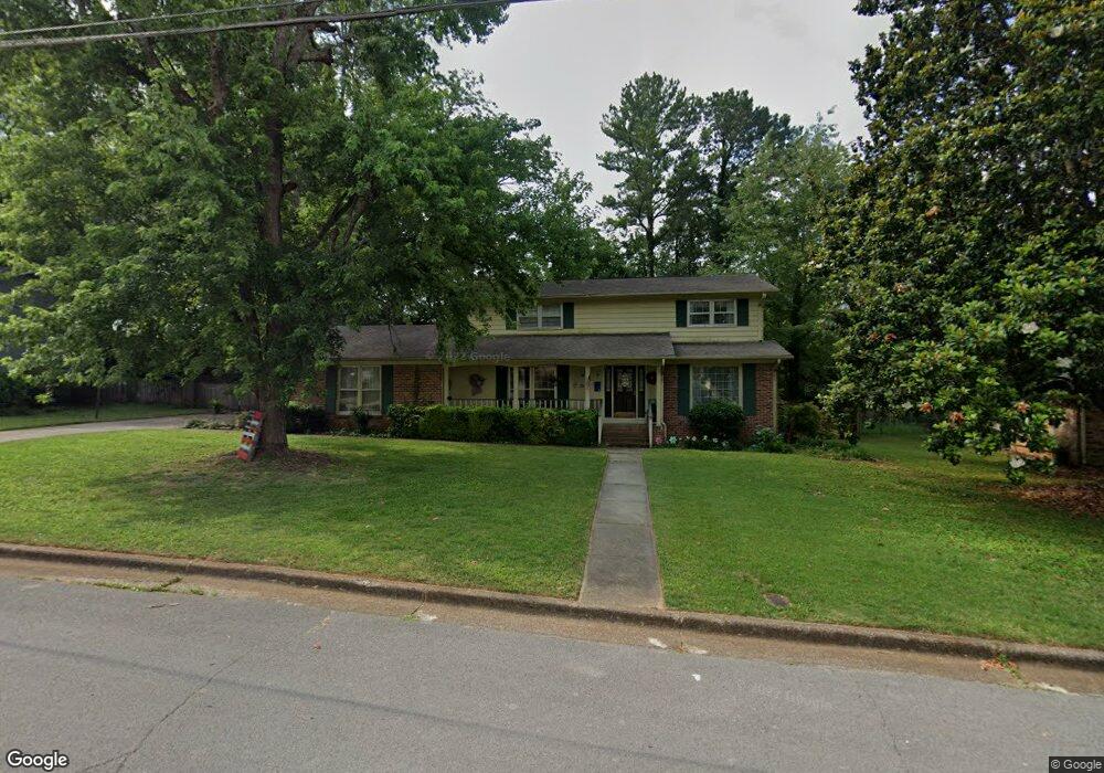
3219 Hastings Rd SW Huntsville, AL 35801
Mayfair-Piedmont NeighborhoodEstimated Value: $484,000 - $626,000
--
Bed
1
Bath
2,630
Sq Ft
$206/Sq Ft
Est. Value
About This Home
This home is located at 3219 Hastings Rd SW, Huntsville, AL 35801 and is currently estimated at $542,417, approximately $206 per square foot. 3219 Hastings Rd SW is a home with nearby schools including Jones Valley Elementary School, Huntsville Junior High School, and Huntsville High School.
Ownership History
Date
Name
Owned For
Owner Type
Purchase Details
Closed on
Jun 30, 2005
Sold by
Rodenhauser Charles S and Rodenhauser Gail C
Bought by
Campbell Jami Lynn and Campbell Charles Wilson
Current Estimated Value
Home Financials for this Owner
Home Financials are based on the most recent Mortgage that was taken out on this home.
Original Mortgage
$225,900
Outstanding Balance
$117,923
Interest Rate
5.66%
Mortgage Type
New Conventional
Estimated Equity
$424,494
Create a Home Valuation Report for This Property
The Home Valuation Report is an in-depth analysis detailing your home's value as well as a comparison with similar homes in the area
Home Values in the Area
Average Home Value in this Area
Purchase History
| Date | Buyer | Sale Price | Title Company |
|---|---|---|---|
| Campbell Jami Lynn | -- | -- |
Source: Public Records
Mortgage History
| Date | Status | Borrower | Loan Amount |
|---|---|---|---|
| Open | Campbell Jami Lynn | $225,900 |
Source: Public Records
Tax History Compared to Growth
Tax History
| Year | Tax Paid | Tax Assessment Tax Assessment Total Assessment is a certain percentage of the fair market value that is determined by local assessors to be the total taxable value of land and additions on the property. | Land | Improvement |
|---|---|---|---|---|
| 2024 | $2,328 | $40,960 | $6,900 | $34,060 |
| 2023 | $2,328 | $39,820 | $5,760 | $34,060 |
| 2022 | $2,079 | $36,680 | $5,760 | $30,920 |
| 2021 | $1,853 | $32,780 | $4,320 | $28,460 |
| 2020 | $1,556 | $27,650 | $3,450 | $24,200 |
| 2019 | $1,539 | $27,350 | $3,450 | $23,900 |
| 2018 | $1,499 | $26,680 | $0 | $0 |
| 2017 | $1,499 | $26,680 | $0 | $0 |
| 2016 | $1,499 | $26,680 | $0 | $0 |
| 2015 | $1,499 | $26,680 | $0 | $0 |
| 2014 | $1,432 | $25,520 | $0 | $0 |
Source: Public Records
Map
Nearby Homes
- 3318 Ohara Rd SW
- 125 Wingate Ave SW
- 202 Wingate Ave SW
- 301 Wingate Ave SW
- 3225 Riley Rd SW
- 100 Winthrop Dr SW
- 3310 Whitesburg Dr SW
- 228 Drake Ave SW
- 123 Bibb Rd SW
- 211 Kent Rd SW
- 3028 Dupree Dr SW
- 2721 Thornton Cir SW
- 4770 Whitesburg Dr SE Unit 304
- 50 Northampton Dr SE
- 4105 Devon St SE
- 4110 Devon St SE
- 4107 Devon St SE
- 4108 Devon St SE
- 4103 Devon St SE
- 4017 Devon St SE
- 3221 Hastings Rd SW
- 3217 Hastings Rd SW
- 3216 Hastings Rd SW
- 3314 Ohara Rd SW
- 3223 Hastings Rd SW
- 3316 Ohara Rd SW
- 3218 Hastings Rd SW
- 3215 Hastings Rd SW
- 3214 Hastings Rd SW
- 3312 Ohara Rd SW
- 3310 Ohara Rd SW
- 3220 Hastings Rd SW
- 3212 Hastings Rd SW
- 3308 Ohara Rd SW
- 3225 Hastings Rd SW
- 3213 Hastings Rd SW
- 3206 Westburg Ct SW
- 3222 Hastings Rd SW
- 3320 Ohara Rd SW
- 3317 Ohara Rd SW