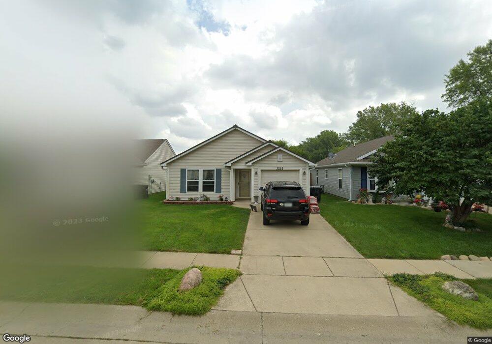
3219 Townsend Dr Lafayette, IN 47909
Estimated Value: $200,743 - $225,000
3
Beds
1
Bath
1,156
Sq Ft
$186/Sq Ft
Est. Value
About This Home
This home is located at 3219 Townsend Dr, Lafayette, IN 47909 and is currently estimated at $215,436, approximately $186 per square foot. 3219 Townsend Dr is a home located in Tippecanoe County with nearby schools including Wea Ridge Elementary School, Wea Ridge Middle School, and McCutcheon High School.
Ownership History
Date
Name
Owned For
Owner Type
Purchase Details
Closed on
May 31, 2010
Sold by
Maxwell Ales L
Bought by
Maxwell Laura K
Current Estimated Value
Purchase Details
Closed on
Dec 31, 2004
Sold by
Habitat For Humanity Of Lafayette Inc
Bought by
Maxwell Ales Luther and Maxwell Laura
Home Financials for this Owner
Home Financials are based on the most recent Mortgage that was taken out on this home.
Original Mortgage
$90,000
Outstanding Balance
$45,530
Interest Rate
5.78%
Mortgage Type
Seller Take Back
Estimated Equity
$169,906
Purchase Details
Closed on
Feb 26, 2004
Sold by
Tippecanoe Land Holding Inc
Bought by
Habitat For Humanity Of Lafayette Inc
Purchase Details
Closed on
Jan 14, 2003
Sold by
Habitat For Humanity Of Lafayette Inc
Bought by
Tippecanoe Land Holding Inc
Purchase Details
Closed on
Dec 31, 2002
Sold by
Crossmann Habitat Llc
Bought by
Habitat For Humanity Of Lafayette Inc
Create a Home Valuation Report for This Property
The Home Valuation Report is an in-depth analysis detailing your home's value as well as a comparison with similar homes in the area
Purchase History
| Date | Buyer | Sale Price | Title Company |
|---|---|---|---|
| Maxwell Laura K | -- | None Available | |
| Maxwell Ales Luther | -- | -- | |
| Habitat For Humanity Of Lafayette Inc | -- | -- | |
| Tippecanoe Land Holding Inc | -- | -- | |
| Habitat For Humanity Of Lafayette Inc | -- | -- |
Source: Public Records
Mortgage History
| Date | Status | Borrower | Loan Amount |
|---|---|---|---|
| Open | Maxwell Ales Luther | $90,000 |
Source: Public Records
Tax History
| Year | Tax Paid | Tax Assessment Tax Assessment Total Assessment is a certain percentage of the fair market value that is determined by local assessors to be the total taxable value of land and additions on the property. | Land | Improvement |
|---|---|---|---|---|
| 2024 | $1,383 | $149,900 | $23,600 | $126,300 |
| 2023 | $1,027 | $124,000 | $15,000 | $109,000 |
| 2022 | $989 | $109,600 | $15,000 | $94,600 |
| 2021 | $815 | $97,400 | $15,000 | $82,400 |
| 2020 | $659 | $88,500 | $15,000 | $73,500 |
| 2019 | $607 | $85,300 | $15,000 | $70,300 |
| 2018 | $586 | $84,800 | $15,000 | $69,800 |
| 2017 | $510 | $80,100 | $15,000 | $65,100 |
| 2016 | $486 | $79,500 | $15,000 | $64,500 |
| 2014 | $464 | $79,000 | $15,000 | $64,000 |
| 2013 | $474 | $79,000 | $15,000 | $64,000 |
Source: Public Records
Map
Nearby Homes
- 3212 Townsend Dr
- 2833 Flagstone Way
- 317 Winchester Ave
- 3442 Teasdale Ct
- 3416 Coventry Ln
- 533 Stockdale Dr
- 3435 Coventry Ln
- 604 Stockdale Dr
- 2846 Plaza Ct Unit 28
- 3155 Stoney Dr
- 3501 Joallen Ln
- 237 Cromwell Ct
- 324 Persimmon Trail
- 904 N Southland Dr
- 3267 Hendrickson Ln
- 345 Persimmon Trail
- 2404 Bennett Rd
- 601 Old Farm Rd
- 3412 Ingram Ct
- 12 Brookhill Ct
Your Personal Tour Guide
Ask me questions while you tour the home.