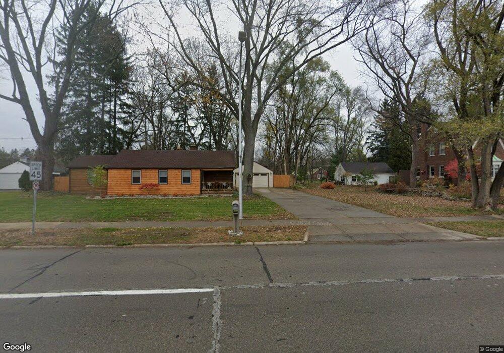
32190 5 Mile Rd Livonia, MI 48154
Estimated Value: $248,765 - $313,000
--
Bed
1
Bath
1,294
Sq Ft
$216/Sq Ft
Est. Value
About This Home
This home is located at 32190 5 Mile Rd, Livonia, MI 48154 and is currently estimated at $279,191, approximately $215 per square foot. 32190 5 Mile Rd is a home located in Wayne County with nearby schools including Buchanan Elementary School, Riley Upper Elementary School, and Holmes Middle School.
Ownership History
Date
Name
Owned For
Owner Type
Purchase Details
Closed on
Jun 20, 2004
Sold by
Strauch Paul D and Strauch Cheri E
Bought by
Strauch Paul D
Current Estimated Value
Home Financials for this Owner
Home Financials are based on the most recent Mortgage that was taken out on this home.
Original Mortgage
$135,000
Outstanding Balance
$63,189
Interest Rate
5.37%
Mortgage Type
New Conventional
Estimated Equity
$216,002
Purchase Details
Closed on
Mar 14, 2002
Sold by
Strauch John C
Bought by
Strauch Paul D
Purchase Details
Closed on
Jun 3, 1994
Sold by
Est Arthur J Cooper Jr
Bought by
Jacque Swanson
Create a Home Valuation Report for This Property
The Home Valuation Report is an in-depth analysis detailing your home's value as well as a comparison with similar homes in the area
Home Values in the Area
Average Home Value in this Area
Purchase History
| Date | Buyer | Sale Price | Title Company |
|---|---|---|---|
| Strauch Paul D | -- | Concord Title | |
| Strauch Paul D | -- | -- | |
| Jacque Swanson | $62,000 | -- |
Source: Public Records
Mortgage History
| Date | Status | Borrower | Loan Amount |
|---|---|---|---|
| Open | Strauch Paul D | $135,000 | |
| Closed | Jacque Swanson | $0 |
Source: Public Records
Tax History Compared to Growth
Tax History
| Year | Tax Paid | Tax Assessment Tax Assessment Total Assessment is a certain percentage of the fair market value that is determined by local assessors to be the total taxable value of land and additions on the property. | Land | Improvement |
|---|---|---|---|---|
| 2025 | $1,653 | $118,800 | $0 | $0 |
| 2024 | $1,653 | $107,700 | $0 | $0 |
| 2023 | $1,577 | $98,900 | $0 | $0 |
| 2022 | $2,769 | $92,000 | $0 | $0 |
| 2021 | $2,690 | $88,600 | $0 | $0 |
| 2019 | $2,581 | $82,800 | $0 | $0 |
| 2018 | $1,333 | $74,800 | $0 | $0 |
| 2017 | $2,360 | $73,700 | $0 | $0 |
| 2016 | $2,434 | $72,800 | $0 | $0 |
| 2015 | $5,892 | $70,170 | $0 | $0 |
| 2012 | -- | $62,270 | $31,500 | $30,770 |
Source: Public Records
Map
Nearby Homes
- 15075 Hubbard St Unit 5
- 32651 5 Mile Rd Unit 15
- 15040 Berwick St
- 15600 Auburndale St
- 14879 Fairfield St
- 14677 Auburndale St
- 32136 Lyndon St
- 14563 Melrose St
- 31005 Roycroft St
- 15873 Shadyside Dr
- 15345 Bainbridge St
- 33040 Allen St
- 14327 Arden St
- 31221 Lyndon St
- 14214 Cranston St
- 31126 Grennada St
- 33025 Martin St
- 33233 Lyndon St
- 32950 Perth St
- 31069 Munger Dr
- 32230 5 Mile Rd
- 32160 5 Mile Rd
- 32150 5 Mile Rd
- 32270 5 Mile Rd
- 32290 5 Mile Rd
- 32290 5 Mile Rd
- 32290 5 Mile Rd
- 31680 5 Mile Rd
- 15415 Ingram St
- 15400 Ingram St
- 15435 Ingram St
- 15406 Ingram St
- 31660 5 Mile Rd
- 31699 5 Mile Rd
- 15501 Ingram St
- 15430 Hubbard St
- 31652 5 Mile Rd
- 15100 Hubbard St
- 31652 Five Mile Rd
- 15410 Hubbard St