32195 Angus Ct Locust Grove, VA 22508
Estimated Value: $575,942 - $684,000
5
Beds
4
Baths
3,409
Sq Ft
$189/Sq Ft
Est. Value
About This Home
This home is located at 32195 Angus Ct, Locust Grove, VA 22508 and is currently estimated at $643,986, approximately $188 per square foot. 32195 Angus Ct is a home located in Orange County with nearby schools including Locust Grove Elementary School, Locust Grove Primary School, and Locust Grove Middle School.
Ownership History
Date
Name
Owned For
Owner Type
Purchase Details
Closed on
May 27, 2021
Sold by
Salunga Alexander and Musick Nikki
Bought by
Tovar Jean David and Torres Nini J
Current Estimated Value
Home Financials for this Owner
Home Financials are based on the most recent Mortgage that was taken out on this home.
Original Mortgage
$409,500
Outstanding Balance
$369,132
Interest Rate
2.9%
Mortgage Type
Construction
Estimated Equity
$274,854
Create a Home Valuation Report for This Property
The Home Valuation Report is an in-depth analysis detailing your home's value as well as a comparison with similar homes in the area
Home Values in the Area
Average Home Value in this Area
Purchase History
| Date | Buyer | Sale Price | Title Company |
|---|---|---|---|
| Tovar Jean David | $455,000 | American Title |
Source: Public Records
Mortgage History
| Date | Status | Borrower | Loan Amount |
|---|---|---|---|
| Open | Tovar Jean David | $409,500 |
Source: Public Records
Tax History Compared to Growth
Tax History
| Year | Tax Paid | Tax Assessment Tax Assessment Total Assessment is a certain percentage of the fair market value that is determined by local assessors to be the total taxable value of land and additions on the property. | Land | Improvement |
|---|---|---|---|---|
| 2025 | $2,573 | $343,100 | $52,100 | $291,000 |
| 2024 | $2,573 | $343,100 | $52,100 | $291,000 |
| 2023 | $2,573 | $343,100 | $52,100 | $291,000 |
| 2022 | $2,573 | $343,100 | $52,100 | $291,000 |
| 2021 | $2,470 | $343,100 | $52,100 | $291,000 |
| 2020 | $2,470 | $343,100 | $52,100 | $291,000 |
| 2019 | $2,644 | $328,800 | $51,800 | $277,000 |
| 2018 | $2,644 | $328,800 | $51,800 | $277,000 |
| 2017 | $2,644 | $328,800 | $51,800 | $277,000 |
| 2016 | $2,644 | $328,800 | $51,800 | $277,000 |
| 2015 | -- | $294,600 | $57,400 | $237,200 |
| 2014 | -- | $294,600 | $57,400 | $237,200 |
Source: Public Records
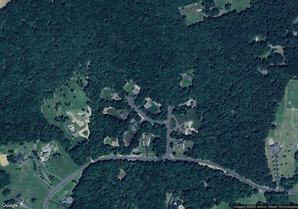
Map
Nearby Homes
- 32314 Deep Meadow Ln
- 32236 Deep Meadow Ln
- 0 Constitution Hwy Unit VAOR2012262
- 31078 Old Office Rd
- 0 Zoar Rd Unit VAOR2010406
- 0 Zoar Rd
- 0 Zoar Rd Unit VAOR2010396
- 0 Zoar Rd Unit VAOR2010404
- 7719 Vermont Rd
- 31380 Paynes Farm Dr
- 29629 Rows Mill Rd
- 13037 Orange Plank Rd
- 0 Old Plank Rd Unit VAOR2012528
- 29727 New Hampshire Rd
- 111 Butler Cir
- 104 Butler Cir
- 112 Butler Cir
- 109 Aspen Ct
- 203 Battlefield Rd
- 537 Monticello Cir
- 32186 Angus Ct
- 32177 Angus Ct
- 32210 Angus Ct
- 32178 Angus Ct
- 8025 Lundsford Dr
- 0 Lundsford Rd
- 32415 Deep Meadow Ln
- 8037 Lundsford Dr
- 0 White Oak Dr Unit 1005238893
- 0 White Oak Dr Unit 1007081886
- 0 White Oak Dr Unit OR8358729
- 8067 Lundsford Dr
- 32371 Deep Meadow Ln
- 32414 Deep Meadow Ln
- 32444 Deep Meadow Ln
- 32357 Deep Meadow Ln
- 8067 Lunsford Dr
- 32315 Deep Meadow Ln
- 32315 Deep Meadow Ln
- 32282 Singleton Rd