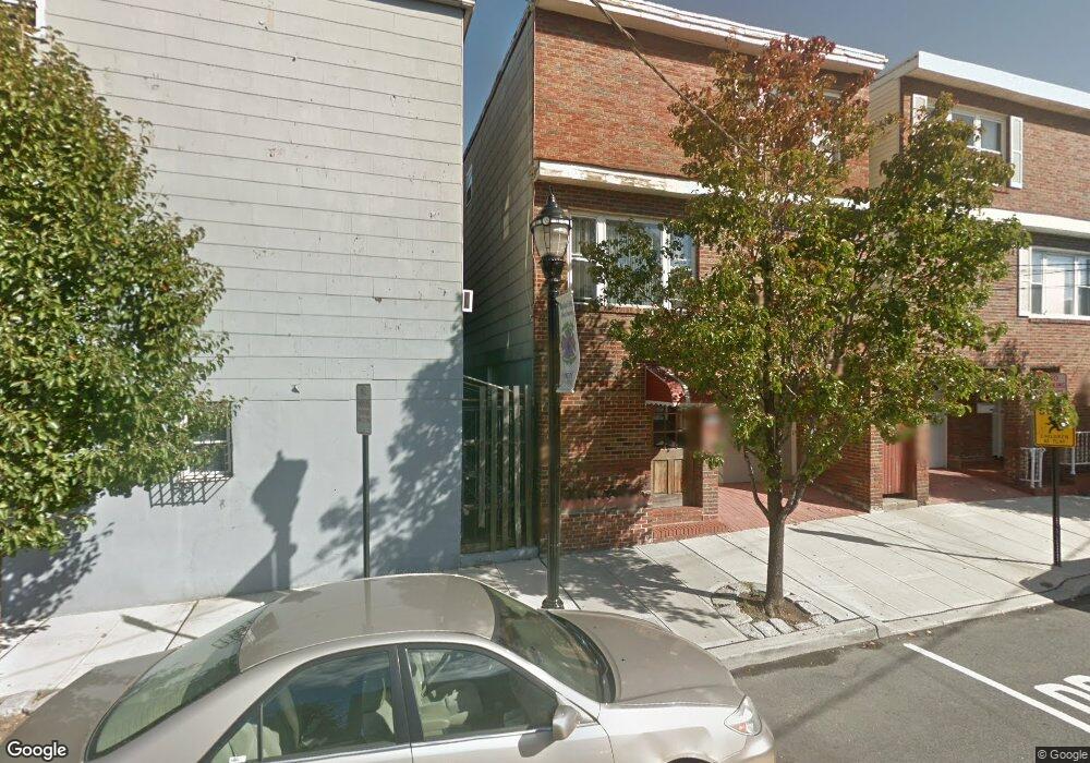
322 10th St Union City, NJ 07087
Estimated Value: $641,000 - $891,000
--
Bed
--
Bath
2,536
Sq Ft
$292/Sq Ft
Est. Value
About This Home
This home is located at 322 10th St, Union City, NJ 07087 and is currently estimated at $739,959, approximately $291 per square foot. 322 10th St is a home located in Hudson County with nearby schools including Thomas A. Edison Elementary School, Sara M. Gilmore Academy, and Emerson Middle School.
Ownership History
Date
Name
Owned For
Owner Type
Purchase Details
Closed on
Dec 6, 2016
Sold by
Ayuso Francis and Ayuso Sherline
Bought by
Ayuso Sherline
Current Estimated Value
Home Financials for this Owner
Home Financials are based on the most recent Mortgage that was taken out on this home.
Original Mortgage
$339,628
Interest Rate
4.25%
Mortgage Type
FHA
Purchase Details
Closed on
Jun 26, 1995
Sold by
New Jersey National Bank
Bought by
Ayuso Francis and Ayuso Sherline
Create a Home Valuation Report for This Property
The Home Valuation Report is an in-depth analysis detailing your home's value as well as a comparison with similar homes in the area
Home Values in the Area
Average Home Value in this Area
Purchase History
| Date | Buyer | Sale Price | Title Company |
|---|---|---|---|
| Ayuso Sherline | $67,500 | Boston National Title | |
| Ayuso Francis | $115,000 | -- |
Source: Public Records
Mortgage History
| Date | Status | Borrower | Loan Amount |
|---|---|---|---|
| Previous Owner | Ayuso Sherline | $339,628 |
Source: Public Records
Tax History Compared to Growth
Tax History
| Year | Tax Paid | Tax Assessment Tax Assessment Total Assessment is a certain percentage of the fair market value that is determined by local assessors to be the total taxable value of land and additions on the property. | Land | Improvement |
|---|---|---|---|---|
| 2025 | $10,456 | $576,000 | $208,300 | $367,700 |
| 2024 | $12,285 | $565,800 | $203,000 | $362,800 |
| 2023 | $12,285 | $159,800 | $64,600 | $95,200 |
| 2022 | $11,843 | $159,800 | $64,600 | $95,200 |
| 2021 | $11,801 | $159,800 | $64,600 | $95,200 |
| 2020 | $11,667 | $159,800 | $64,600 | $95,200 |
| 2019 | $11,351 | $159,800 | $64,600 | $95,200 |
| 2018 | $11,138 | $159,800 | $64,600 | $95,200 |
| 2017 | $11,033 | $159,800 | $64,600 | $95,200 |
| 2016 | $11,010 | $159,800 | $64,600 | $95,200 |
| 2015 | $10,413 | $159,800 | $64,600 | $95,200 |
| 2014 | $10,181 | $159,800 | $64,600 | $95,200 |
Source: Public Records
Map
Nearby Homes
- 416 11th St
- 904 Bergenline Ave
- 413-415 9th St Unit 204
- 416 8th St
- 1201 Bergenline Ave
- 521 10th St Unit 3
- 521 10th St Unit 2
- 1000 Palisade Ave
- 1215 Bergenline Ave
- 801 Palisade Ave Unit 305
- 806 Palisade Ave
- 418 7th St
- 1203 Morris St
- 603 11th St
- 1208 Palisade Ave Unit 3
- 612 12th St
- 315 7th St Unit 301
- 315 7th St Unit 503
- 315 7th St Unit 501
- 615 11th St
- 320 10th St
- 1004 New York Ave
- 1002 New York Ave
- 1002 New York Ave Unit 3
- 1002 New York Ave Unit 2
- 1000 New York Ave
- 1006 New York Ave
- 318 10th St
- 318 10th St Unit 2
- 316 10th St
- 316 10th St Unit 3
- 316 10th St Unit 2
- 312 10th St Unit 14
- 312 10th St Unit 6
- 312 10th St Unit 2
- 312 10th St Unit 1
- 314 10th St
- 314 10th St Unit 3
- 314 10th St Unit 2
- 314 10th St Unit 1