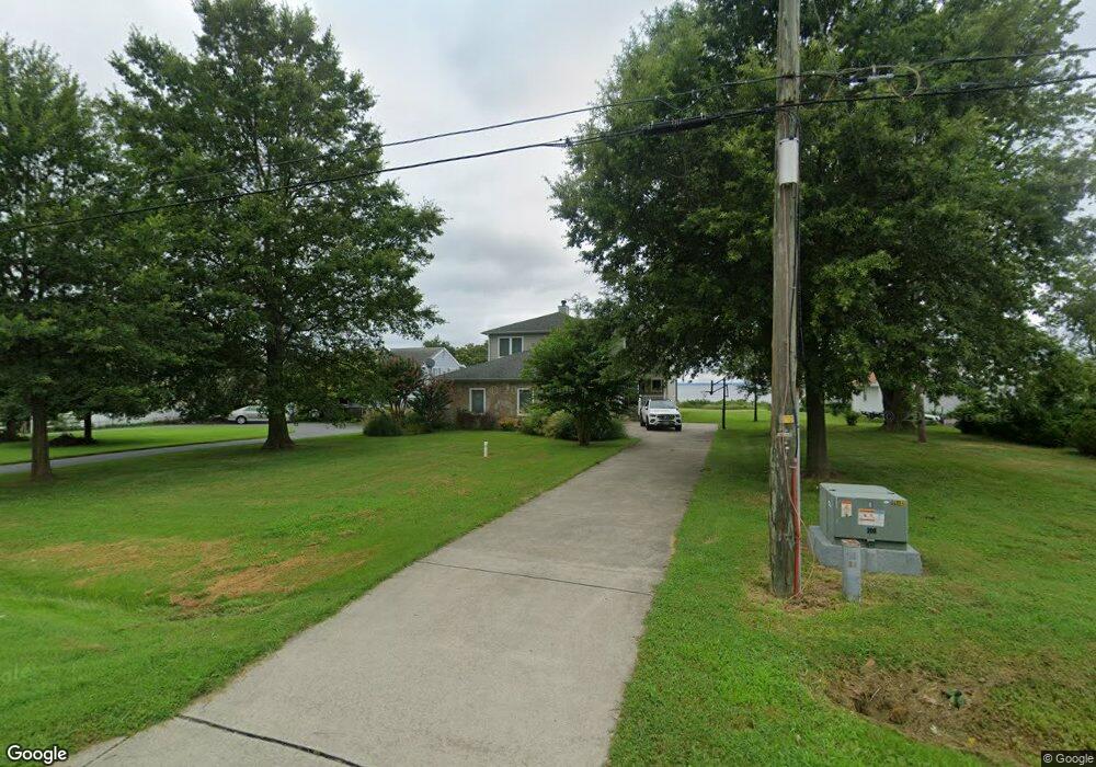
322 Beachside Dr Stevensville, MD 21666
Estimated Value: $1,057,000 - $1,453,000
Studio
4
Baths
3,012
Sq Ft
$414/Sq Ft
Est. Value
About This Home
This home is located at 322 Beachside Dr, Stevensville, MD 21666 and is currently estimated at $1,247,295, approximately $414 per square foot. 322 Beachside Dr is a home located in Queen Anne's County with nearby schools including Matapeake Elementary School, Matapeake Middle School, and Kent Island High School.
Ownership History
Date
Name
Owned For
Owner Type
Purchase Details
Closed on
Jun 22, 1994
Sold by
Winebaum Jake and Winebaum Cindy
Bought by
Holmes Kelly Paul and Holmes Peggy
Current Estimated Value
Purchase Details
Closed on
Nov 15, 1988
Sold by
Lassahan Harold A and Lassahan Lettie
Bought by
Winebaum Jake and Winebaum Cindy
Home Financials for this Owner
Home Financials are based on the most recent Mortgage that was taken out on this home.
Original Mortgage
$130,000
Interest Rate
10.24%
Create a Home Valuation Report for This Property
The Home Valuation Report is an in-depth analysis detailing your home's value as well as a comparison with similar homes in the area
Purchase History
| Date | Buyer | Sale Price | Title Company |
|---|---|---|---|
| Holmes Kelly Paul | $222,500 | -- | |
| Winebaum Jake | $230,000 | -- |
Source: Public Records
Mortgage History
| Date | Status | Borrower | Loan Amount |
|---|---|---|---|
| Previous Owner | Winebaum Jake | $130,000 | |
| Closed | Holmes Kelly Paul | -- |
Source: Public Records
Tax History
| Year | Tax Paid | Tax Assessment Tax Assessment Total Assessment is a certain percentage of the fair market value that is determined by local assessors to be the total taxable value of land and additions on the property. | Land | Improvement |
|---|---|---|---|---|
| 2025 | $9,526 | $1,011,267 | $0 | $0 |
| 2024 | $8,316 | $882,833 | $0 | $0 |
| 2023 | $7,106 | $754,400 | $386,400 | $368,000 |
| 2022 | $7,166 | $754,400 | $386,400 | $368,000 |
| 2021 | $7,295 | $754,400 | $386,400 | $368,000 |
| 2020 | $7,767 | $803,600 | $456,800 | $346,800 |
| 2019 | $7,373 | $762,533 | $0 | $0 |
| 2018 | $6,980 | $721,467 | $0 | $0 |
| 2017 | $6,586 | $680,400 | $0 | $0 |
| 2016 | -- | $680,400 | $0 | $0 |
| 2015 | $8,105 | $680,400 | $0 | $0 |
| 2014 | $8,105 | $739,200 | $0 | $0 |
Source: Public Records
Map
Nearby Homes
- 312 S Lake Dr
- 101 Beachside Dr
- 208 Tower Dr
- 145 N Lake Dr
- 114 N Lake Dr
- 118 N Lake Dr
- 306 N Lake Rd
- 200 Mallard Cove Ln
- Lot 1 - E/Kent Point Romancoke
- 610 Elm St
- 0 Ackerman Dr
- Lot 8 Ackerman Dr
- 217 Ackerman Dr
- 414 Bay Dr
- 205 Lighthouse View Dr
- 102 Golf Ct
- 137 Tanners Point Dr
- 346 Oregon Rd
- 122 S Carolina Rd
- 224 Long Point Rd
- 324 Beachside Dr
- 318 Beachside Dr
- 400 Beachside Dr
- 402 Beachside Dr
- 315 Beachside Dr
- 317 Beachside Dr
- 316 Beachside Dr
- 404 Beachside Dr
- 313 Beachside Dr
- 401 Beachside Dr
- 406 Beachside Dr
- 316 Drovers Way
- 314 Drovers Way
- 312 Beachside Dr
- 309 Beachside Dr
- 312 Drovers Way
- 408 Beachside Dr
- 310 Beachside Dr
- 310 Drovers Way
- 307 Beachside Dr