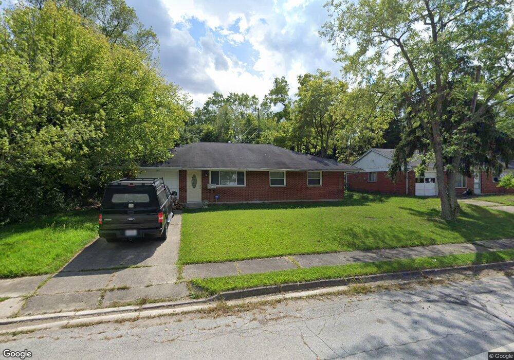
322 E Trotwood Blvd Dayton, OH 45426
Estimated Value: $57,000 - $131,208
3
Beds
2
Baths
1,170
Sq Ft
$89/Sq Ft
Est. Value
About This Home
This home is located at 322 E Trotwood Blvd, Dayton, OH 45426 and is currently estimated at $104,052, approximately $88 per square foot. 322 E Trotwood Blvd is a home located in Montgomery County with nearby schools including Trotwood-Madison Middle School, Trotwood-Madison High School, and Trotwood Preparatory & Fitness Academy.
Ownership History
Date
Name
Owned For
Owner Type
Purchase Details
Closed on
May 3, 2007
Sold by
Bell Arthur and Bell Lyndia I
Bought by
Pledged Property Ii Llc
Current Estimated Value
Purchase Details
Closed on
May 7, 2002
Sold by
Borton William E
Bought by
Bell Arthur and Bell Lyndia I
Home Financials for this Owner
Home Financials are based on the most recent Mortgage that was taken out on this home.
Original Mortgage
$64,000
Interest Rate
8.74%
Create a Home Valuation Report for This Property
The Home Valuation Report is an in-depth analysis detailing your home's value as well as a comparison with similar homes in the area
Home Values in the Area
Average Home Value in this Area
Purchase History
| Date | Buyer | Sale Price | Title Company |
|---|---|---|---|
| Pledged Property Ii Llc | $38,000 | The Public Square Title Agen | |
| Bell Arthur | $80,000 | -- |
Source: Public Records
Mortgage History
| Date | Status | Borrower | Loan Amount |
|---|---|---|---|
| Previous Owner | Bell Arthur | $64,000 |
Source: Public Records
Tax History Compared to Growth
Tax History
| Year | Tax Paid | Tax Assessment Tax Assessment Total Assessment is a certain percentage of the fair market value that is determined by local assessors to be the total taxable value of land and additions on the property. | Land | Improvement |
|---|---|---|---|---|
| 2024 | $1,173 | $17,890 | $4,480 | $13,410 |
| 2023 | $1,173 | $17,890 | $4,480 | $13,410 |
| 2022 | $1,177 | $13,980 | $3,500 | $10,480 |
| 2021 | $1,179 | $13,980 | $3,500 | $10,480 |
| 2020 | $1,179 | $13,980 | $3,500 | $10,480 |
| 2019 | $1,079 | $11,440 | $2,450 | $8,990 |
| 2018 | $1,080 | $11,440 | $2,450 | $8,990 |
| 2017 | $1,073 | $11,440 | $2,450 | $8,990 |
| 2016 | $1,121 | $11,960 | $3,500 | $8,460 |
| 2015 | $1,102 | $11,960 | $3,500 | $8,460 |
| 2014 | $1,102 | $11,960 | $3,500 | $8,460 |
| 2012 | -- | $22,960 | $5,430 | $17,530 |
Source: Public Records
Map
Nearby Homes
- 33 Mario Dr
- 204 E Main St
- 4 Pleasant Ave
- 17 Grand Ave
- 17 N Sunrise Ave
- 301 Beardsley Rd
- 103 E Worley Ave
- 1 E Worley Ave
- 0 Main
- 209 W Main St
- 208 E Sunrise Ave
- 6899 Little Richmond Rd
- 0 Little Richmond Rd
- 208 E Eppington Dr
- 385 Blairwood Dr
- 717 Mapleside Dr
- 800 Chandler Dr
- 7534 Little Richmond Rd
- 512 N Sherry Dr
- 7540 Tuscola Dr
- 318 E Trotwood Blvd
- 314 E Trotwood Blvd
- 11 Brookhaven Dr
- 329 E Trotwood Blvd
- 9 Brookhaven Dr
- 310 E Trotwood Blvd
- 14 Brookhaven Dr
- 14 Bridgeport Dr
- 134 Sparks St
- 7 Brookhaven Dr
- 306 E Trotwood Blvd
- 130 Sparks St
- 18 Brookhaven Dr
- 309 E Trotwood Blvd
- 3 Brookhaven Dr
- 131 Sparks St
- 126 Sparks St
- 15 Brookhaven Dr
- 202 Stubbs Dr
- 22 Brookhaven Dr