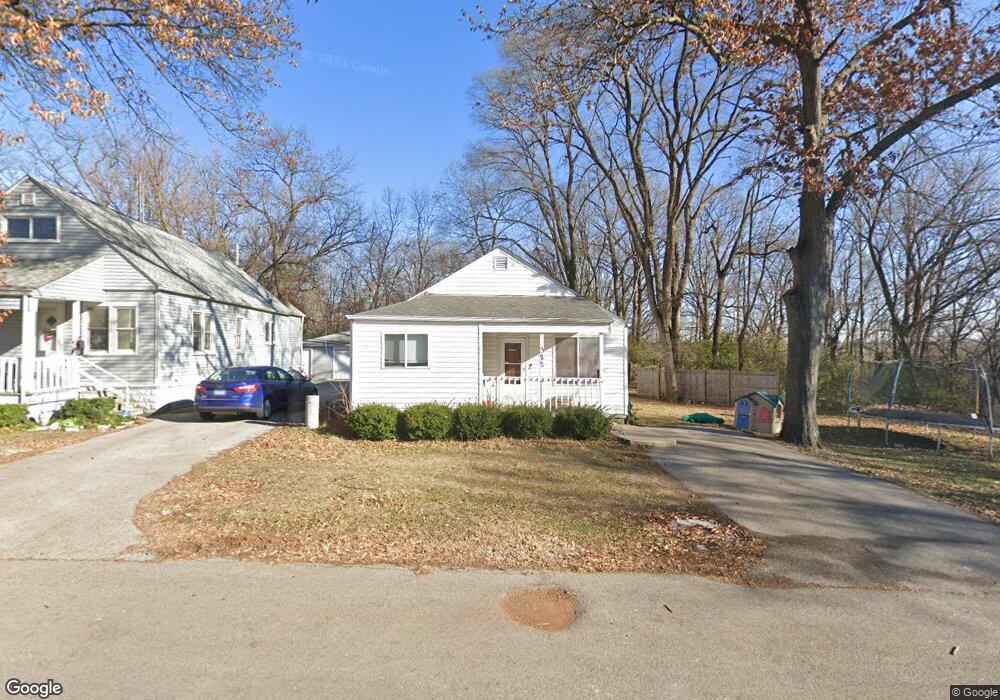
322 Mohawk St Joliet, IL 60432
Belmont NeighborhoodEstimated Value: $145,205 - $270,000
3
Beds
1
Bath
1,288
Sq Ft
$172/Sq Ft
Est. Value
About This Home
This home is located at 322 Mohawk St, Joliet, IL 60432 and is currently estimated at $221,801, approximately $172 per square foot. 322 Mohawk St is a home located in Will County with nearby schools including A.O. Marshall Elementary School, Gompers Junior High School, and Joliet Central High School.
Ownership History
Date
Name
Owned For
Owner Type
Purchase Details
Closed on
Aug 22, 2015
Sold by
Palmar Real Estate Llc
Bought by
Lifewise One Llc
Current Estimated Value
Purchase Details
Closed on
Oct 20, 2010
Sold by
Davies Paul R and The Paul R Davies Trust
Bought by
Palmer Real Estate Llc
Purchase Details
Closed on
Aug 14, 2000
Sold by
Davies Paul R
Bought by
Davies Paul R and Paul R Davies Trust
Purchase Details
Closed on
Nov 14, 1997
Sold by
First Of America Loan Services Inc
Bought by
Davies Paul R
Purchase Details
Closed on
Apr 22, 1997
Sold by
Ward Brendan D
Bought by
First Of America Loan Services Inc
Create a Home Valuation Report for This Property
The Home Valuation Report is an in-depth analysis detailing your home's value as well as a comparison with similar homes in the area
Home Values in the Area
Average Home Value in this Area
Purchase History
| Date | Buyer | Sale Price | Title Company |
|---|---|---|---|
| Lifewise One Llc | $47,500 | Attorney | |
| Palmer Real Estate Llc | -- | None Available | |
| Davies Paul R | -- | -- | |
| Davies Paul R | $8,500 | -- | |
| First Of America Loan Services Inc | -- | -- |
Source: Public Records
Tax History
| Year | Tax Paid | Tax Assessment Tax Assessment Total Assessment is a certain percentage of the fair market value that is determined by local assessors to be the total taxable value of land and additions on the property. | Land | Improvement |
|---|---|---|---|---|
| 2024 | $3,792 | $45,903 | $4,492 | $41,411 |
| 2023 | $3,792 | $40,784 | $3,991 | $36,793 |
| 2022 | $3,398 | $36,892 | $3,610 | $33,282 |
| 2021 | $3,233 | $34,456 | $3,372 | $31,084 |
| 2020 | $3,089 | $32,721 | $3,202 | $29,519 |
| 2019 | $2,902 | $30,410 | $2,976 | $27,434 |
| 2018 | $2,706 | $27,273 | $2,666 | $24,607 |
| 2017 | $2,565 | $24,796 | $2,424 | $22,372 |
| 2016 | $2,413 | $22,397 | $2,240 | $20,157 |
| 2015 | $2,584 | $23,400 | $2,100 | $21,300 |
| 2014 | $2,584 | $23,300 | $2,100 | $21,200 |
| 2013 | $2,584 | $24,661 | $2,358 | $22,303 |
Source: Public Records
Map
Nearby Homes
- 8 Peale St
- 411 Leach Ave
- 16 Anderson Ave
- 1818 E Washington St
- 1607 Maple Rd
- 1408 E Washington St
- 106 Hillsdale Rd
- 824 Hague St
- 137 Independence Ave
- 37 Argyle Ave
- 2202 E Washington St
- 111 Court St
- 409 S Hebbard St
- 2216 Beechwood Rd
- 1205 Gage Ct
- 1208 Hague St
- 2417 Fleetwood Dr
- 661 Abe St
- 1106 Magnolia Ave
- 251 E Jackson St
- 324 Mohawk St
- 319 Mohawk St
- 319 Mohawk St
- 323 Mohawk St
- 332 Mohawk St
- 325 Mohawk St
- 327 Mohawk St
- 1626 Mohawk St
- 1628 Sterling Ave
- 1636 Sandy Dr
- 1623 Mohawk St
- 310 Algonquin St
- 312 Algonquin St
- 1624 Mohawk St
- 316 Algonquin St
- 308 Algonquin St
- 1701 Sterling Ave
- 1709 Sterling Ave
- 318 Algonquin St
- 403 Mohawk St
Your Personal Tour Guide
Ask me questions while you tour the home.