322 Southeast Rd Block Island, RI 02807
Estimated Value: $1,315,151 - $1,435,000
2
Beds
1
Bath
1,064
Sq Ft
$1,291/Sq Ft
Est. Value
About This Home
This home is located at 322 Southeast Rd, Block Island, RI 02807 and is currently estimated at $1,373,288, approximately $1,290 per square foot. 322 Southeast Rd is a home with nearby schools including Block Island School.
Ownership History
Date
Name
Owned For
Owner Type
Purchase Details
Closed on
May 1, 1979
Bought by
Northup Edward G and Northup Cynthia
Current Estimated Value
Create a Home Valuation Report for This Property
The Home Valuation Report is an in-depth analysis detailing your home's value as well as a comparison with similar homes in the area
Home Values in the Area
Average Home Value in this Area
Purchase History
| Date | Buyer | Sale Price | Title Company |
|---|---|---|---|
| Northup Edward G | -- | -- |
Source: Public Records
Mortgage History
| Date | Status | Borrower | Loan Amount |
|---|---|---|---|
| Open | Northup Edward G | $310,000 | |
| Closed | Northup Edward G | $40,000 | |
| Closed | Northup Edward G | $280,000 |
Source: Public Records
Tax History Compared to Growth
Tax History
| Year | Tax Paid | Tax Assessment Tax Assessment Total Assessment is a certain percentage of the fair market value that is determined by local assessors to be the total taxable value of land and additions on the property. | Land | Improvement |
|---|---|---|---|---|
| 2024 | $4,862 | $880,800 | $574,300 | $306,500 |
| 2023 | $5,302 | $880,800 | $574,300 | $306,500 |
| 2022 | $4,415 | $623,520 | $510,480 | $113,040 |
| 2021 | $4,178 | $623,520 | $510,480 | $113,040 |
| 2020 | $3,966 | $623,520 | $510,480 | $113,040 |
| 2019 | $3,841 | $623,520 | $510,480 | $113,040 |
| 2018 | $3,575 | $600,880 | $479,040 | $121,840 |
| 2017 | $3,521 | $600,880 | $479,040 | $121,840 |
| 2016 | $3,437 | $600,880 | $479,040 | $121,840 |
| 2015 | $4,175 | $757,800 | $598,800 | $159,000 |
| 2014 | $4,047 | $757,800 | $598,800 | $159,000 |
| 2013 | $3,948 | $757,800 | $598,800 | $159,000 |
Source: Public Records
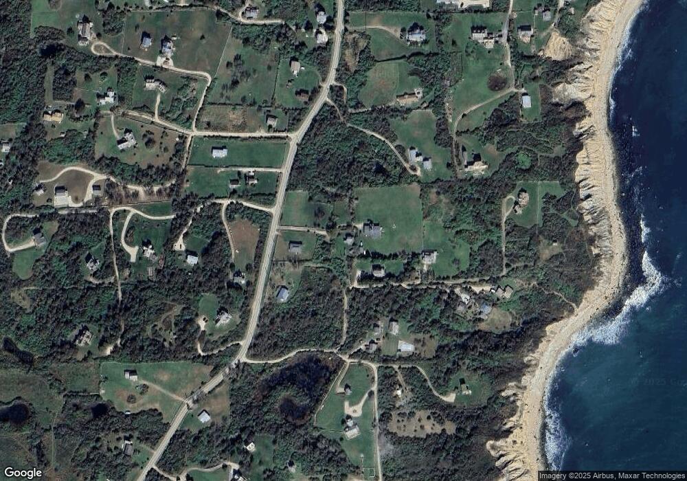
Map
Nearby Homes
- 0 Spring St
- 0 Southeast Rd Unit 1381406
- 0 Pilot Hill Rd
- 194 Pilot Hill Rd
- 1289 High St
- 804 Mohegan Trail
- 256 High St
- 1661 Sand Pond Rd
- 0 Mohegan Trail
- 1035 Mohegan Trail
- 1448 Mohegan Trail
- 481 Old Town Rd
- 1087 Lakeside Dr
- 0 Snake Hole Rd
- 1501 Beacon Hill Rd
- 1328 Cooneymus Rd
- 1743 Corn Neck Rd
- 0 Coast Guard Rd
- 1720 Corn Neck Rd
- 1713 Corn Neck Rd
- 323 Southeast Rd
- 977 W Spring St
- 977 Southeast Rd
- 325 Southeast Rd
- 324 Cat Rock Cove Rd
- 324 Cat Rock Rd
- 1641 Spring St
- 324 Southeast Rd
- 320 Southeast Rd
- 1680 Spring St
- 1640 Southeast Rd
- 314 Spring St
- 314 Southeast Rd
- 319 Southeast Rd
- 1006 Spring St
- 1052 Spring St
- 316 Southeast Rd
- 1683 Southeast Rd
- 326 Southeast Rd
- 433 Southeast Rd